OpenStreetMap logo OpenStreetMap

Users' Diaries

Recent diary entries

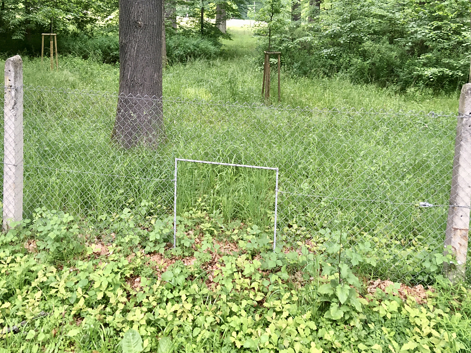
En todos mis viajes he visto muchos tipos de señales de tránsito, pero hasta noviembre del 2023, en un viaje a Matehuala, San Luis Potosí, vi esta señalización:

Paso de osos

Agradezco el que mis amigos que conducian se detuvieran y pudiera tomar la fotografía.

Y finalmente, en este 20 aniversario de OSM, me di tiempo para subir la fotografía y mapear el lugar donde la vi.

¿Observaciones?

Son bienvenidas :-)

Location: La Curva (María), Galeana, Nuevo León, México

After years of development, I am excited to introduce a proposed feature for OpenStreetMap called Communities. Formerly called Microcosms, this feature is designed to bring mappers together and facilitate collaboration. On the main OSM website, it will be located on the Communities page.

What is Communities?

Communities are groups of mappers who share a common goal or interest. They can be formed around a specific geographic region, such as a city or neighborhood, or centered on a particular theme, like humanitarian mapping. The purpose of Communities is to provide a platform for mapping teams to connect with one another, work together as a team, and organize events.

Community Mapping Event

Key Features

See full entry

My Journey as an OM Guru Fellow: Empowering Communities Through Open Mapping

Introduction

In January 2024, I embarked on an exciting journey as part of the OM Guru Fellowship program under the Open Mapping Hub - Asia Pacific. As one of the 50 selected Guru Fellows, I had the opportunity to join the Training Track, focusing on conducting training sessions, webinars, and mapathons for community members. This fellowship aims to foster a sustainable OpenStreetMap (OSM) ecosystem in the Asia-Pacific region by building the capacity of new and experienced mappers alike.

Getting Started

The fellowship began with an orientation, where we learned about the scope of work, our expected roles, and the various activities we would undertake over the next five months. As a Training Track Fellow, I was excited to engage with diverse communities and contribute to the open mapping movement by sharing my knowledge and skills.

Training Sessions and Webinars

During the fellowship, I conducted two online webinars and one in-person training session. These sessions were designed to cater to both beginners and experienced mappers, covering a wide range of topics.

Online Webinars

See full entry

Location: East Taraka, Lae, Lae District, Morobe, Momase Region, Papua New Guinea
Posted by Jiri Podhorecky on 8 August 2024 in Czech (Česky). Last updated on 14 June 2025.

Prostupnost, nebo ne-prostupnost území je vlastnost krajiny, vyjadřující, zda je mmožné v daném místě procházet pěšky, bez překonávání fyzických překážek. Týká se to jak člověka, tak třeba i divoké zvěře a hospodářských zvířat.

Možnost volně procházet územím bez omezení je v České republice , ale i ve většině civilizovaného světa, dána zákony té konkrétní země. Z nich vyplývá, že umožňují například volný pěší vstup do státních i soukromých lesů, pokud tyto lesy nemají zjevné oplocení, nebo jiný výslovný zákaz omezující vstup v místě, čase, nebo při konkrétní situaci.

Alternativní text

  • oplocená obora u Červeného Dvora nedaleko Chvalšin. Plot má v sobě otvory pro prostup zvěře

Podobně vám asi nikdo nezakáže vstup na neoplocenou louku, stromový remízek, přístup k rybníku, řece, nebo na pozemek v krajině, kde není žádné viditelné značení, nebo překážka. Je pochopitelné, že jsou další zákony, vyhlášky a soukromé zájmy, které vám omezí konkrétní aktivity, ale jinak vám ve vstupu nic nebrání.

See full entry

Тепер фактично немає жодного клаптика по цій карті в Барі, де щось не було мною розмальовано. тепер абсолютно всі об’єкти були внесені на карту. Тепер місто більше не є сірою плямою де нічого не було відомо.

Location: П’яний Ріг, Бар, Барська міська громада, Жмеринський район, Вінницька область, 23006, Україна
O OSM faz aniversário, mas quem ganha o presente é você!

O maior projeto de mapeamento colaborativo global, OpenStreetMap, está completando 20 anos!

Para comemorar, o IVIDES.org promoverá uma série de oficinas, destinadas ao treinamento de novos mapeadores(as) e prática dos(as) demais participantes, em diferentes universidades do Brasil.

Para participar, basta preencher o formulário, uma única vez, e receber, por e-mail, os avisos das quatro atividades programadas, na véspera da data de cada evento.

https://ee.kobotoolbox.org/x/IvoihsNm

No último dia de evento, 30/08/2024, serão sorteados dois vale-presentes, para serem utilizados na compra de livros, entre aqueles que participarem de dois dos quatro encontros.

Esta é uma iniciativa do IVIDES.org, em parceria com o HUB YouthMappers Rio de Janeiro e colegas mapeadores(as) de todo o Brasil e de países amigos. Agradecemos à TomTom pelo patrocínio dos vale-presentes.

Não perca a oportunidade de colaborar com este projeto vencedor!

AGENDA

16/08 - 10:00-12:00 (UTC-3) - UNIPAR (PR) - Fundamentos do OSM e criação de mapa Web com uMap

20/08 - 10:00-12:00 (UTC-3) - UNIPAMPA (RS) - OSM na redução de riscos de desastres (RRD) + mapatona

23/08 - 16:15-18:30 (UTC-3) - COPPE/UFRJ - III GSEA/I SIGSEA (RJ) - Fundamentos do OSM e criação de mapa Web com uMap

30/08 - 10:00-12:00 (UTC-3) - UFF-Campos (RJ) - Fundamentos do OSM + mapatona + apresentação da TomTom

Obs: o formulário de inscrição foi criado com Enketo Express, é necessário ter o armazenamento de cookies ativado no navegador de Internet para funcionar corretamente. Se não conseguir utilizar, favor trocar de navegador ou ativar os cookies.

IVIDES.org® é uma marca registrada.


See full entry

Español: Últimamente he estado haciendo algunas contribuciones a OpenStreetMap, a las que llamo “contribuciones que parecen inútiles pero en realidad tampoco son muy útiles”. Estoy agregando cables eléctricos, farolas y poste de telégrafo en el área de Penonomé en el mapa de OpenStreetMap. Sí, así de “aburrido”, pero me alegra hacerlo, ¿qué pasa? ¡Jaja! Pueden ver mi primera contribución en este plan en osm.org/changeset/154954610

English: I’ve been making some contributions to OpenStreetMap recently, which I call “seemingly useless but actually not that useful” contributions. I’ll be adding power lines, streetlights and telephone pole to the OpenStreetMap map in the Penonomé area. Yep, it’s that “boring,” but I’m happy to do it. So what? Haha, you can check out my first contribution for this project at osm.org/changeset/154954610

简体中文:我最近在对 OpenStreetMap 做一些贡献,对此我将其称为“看似无用但实际上用处也不大”的贡献,我将在 Penonomé 区域的 OpenStreetMap 地图添加电线、路灯和电线杆,没错,就是这么的“无聊”,但我乐意,怎么了?哈哈,你们可以打开 osm.org/changeset/154954610 来查看我这个计划中的第一次贡献

  1. osm.org/changeset/154954610
  2. osm.org/changeset/154956067
  3. osm.org/changeset/154995279
  4. osm.org/changeset/154996250
  5. osm.org/changeset/154996628
  6. osm.org/changeset/154996933
  7. osm.org/changeset/154997404
  8. osm.org/changeset/154998695
  9. osm.org/changeset/155352401
  10. osm.org/changeset/155383794
  11. osm.org/changeset/155384459
  12. osm.org/changeset/155385471

Development has quickly progressed through two weeks, and it’s time to write a bi-weekly report.

Project Progress

The project is still in its early development stage, so we are unable to provide a usable prototype at this time.However, our implementation of the rendering part has been basically determined.

After testing, points and paths can be rendered successfully.

Due to the ongoing development of the interfaces for other modules, some functions have not yet been implemented. For instance, highlighting segments of a path instead of selecting the entire path as in the default logic of the iD editor. Also, the rendering of polygons has not been implemented yet because it requires the interface of the editing module.

We plan to divide the project into different components to facilitate future development and maintenance.

Component and code structure in commits

Demonstration Effect

See full entry

Auf der Tholeyer Gemarkung befinden sich heute noch circa 15 historische Wegekreuze (http://overpass-turbo.eu/s/1Po6). Diese stehen an Straßen und gut begehbaren Wegen, so dass sie auch zu Fuß gut erreichbar sind. Bisher waren nur 6 davon in OSM grunderfasst. Die restlichen 9 habe ich nun erstmal kartiert, die übrigen ergänzt und aktualisiert. Weitere Infos finden sie unter http://www.besse.de/buecher/2024_Tholeyer_Wegekreuz-Tour.pdf Das nachstehende Foto zeigt eine kleine Auswahl an Wegekreuzen aus Tholey am Schaumbergsteig: Cover_Tholeyer_Wegekreuze

Posted by IrdiIs on 6 August 2024 in English. Last updated on 8 August 2024.

Together with LibreLabs Albania and OpenStreetMap Albania, we decided to celebrate the 20th birthday with an Online Mapping Party. We decided to “Map the Balkans”, so we extracted 55 villages from 11 countries, and we will come together on the 10th at 19:00 to celebrate and map.

Blog post from LibreLabs - https://librelabs.cc/blog/openstreetmap-online-mapping-party/

OSMcal - https://osmcal.org/event/3041/

Wiki - osm.wiki/OpenStreetMap_20th_Anniversary_Birthday_party

Anybody who wishes to join is more than welcome!

Happy 20th birthday, OpenStreetMap!

Im Jahr 1739 wurden die Rittenhofer und Herchenbacher Gemeindewälder durch den Nassau Saarbrücker Feldmesser Hahn vermessen und ausgesteint, um die Wälder von den Felder abzutrennen (separieren). Auf diesen Waldsteinen war auf der Vorderseite die laufende Nummer und auf der Rückseite die Jahreszahl der Steinsetzung 1739 angebracht. Auf der Seite zum Feldland wurde der Marker „F“ und auf der Waldseite der Buchstabe „W“ für Wald eingemeißelt. Von den damals gesetzten 26 Steinen sind bisher nur sechs Exemplare gefunden worden; 5 davon konnte ich nun in OSM erstmals kartieren (http://overpass-turbo.eu/s/1Poy). Die vom Feldmesser Hahn angefertigten Karten zu dieser historischen Waldvermessung sind in folgendem Beitrag enthalten: http://www.besse.de/buecher/1739_Rittenhofen_Herchenbacher_Waelder.pdf

So sehen die vier Seiten dieser recht alten Waldsteine im Köllertal aus:

Karte 1739

Posted by manojkmohan on 5 August 2024 in English.

Our OpenMapping iniative for #Wayaland Last few days Our #opendatakerala team with #OSMKerala OpenStreetMap working with officials and National Disaster Response Force for the mapping needs in their field needs. Just Noticed a news came few days back. Thanks The New Indian Express

https://www.newindianexpress.com/states/kerala/2024/Aug/03/kerala-open-street-mapping-to-ensure-speedy-relief-for-landslide-victims

Location: Punchiri Mattam Colony, Mundakai, Vythiri, Wayanad, Kerala, India
Posted by JJSmapy18 on 4 August 2024 in English.

How is it going and what am I up to now?

Introduction

I know I put in a entry in the diary not to long ago but I want to let you know what I am up to now. I am putting the finishing touches on my eruv map with I hope looks good. I am getting help with it and thank you to the gentleman that is helping.

What’s next?

  • I am currently spending a lot of time on StreetComplete and MapComplete. They are really good for me. I am helping my local community by validating roads, building, hours of operation, what sidewalks are made of, if the road is asphalt or what ever. I am really having a lot of fun doing it and its a good feeling that hey I have no clue if this helps anyone but it helps knowing I am helping.

  • I am also interested in adding things to OSM. I am fascinated by what I have seen from others. It would be good to start with one thing like roads, building, etc. Still learning the types of things OSM maps. Then build from that point once I get relatively comfortable with whatever this is.

  • Eventually I would love to get down to one or two things and really get good mapping those. I do not know the full capabilities of OSM, its a lot I am sure. Just hope I can be more specific and get very comfortable doing that one or things.

  • I am super interested in sustainability and resiliency. I would love to start to map and get involved in this area at some point. I also want to find out if OSM has something like Esri Story Maps. I want to see if I can tell stories of people for resilience. Cultures and peoples have has a long history of successful resiliency initiatives. That is the Story Map type thing came from.

Conclusion

I am super happy I found OSM and you all are very kind and generous and always happy to answer question. Just want to say thank you!

OSM is a tremendously powerful tool that I would love to see how it is used day-to-day by different organizations.

Till next time!

Posted by TBesse on 4 August 2024 in German (Deutsch). Last updated on 7 August 2024.

In der 2. Hälfte des 18. Jahrhundert wurden um den früheren zur lothringischen Herrschaft Kriechingen (Créange) und seit 1767 zur Grafschaft Saarbrücken gehörenden Ort Püttlingen die Banngrenzen zu den Nachbarn neu ausgesteint. Insgesamt wurden mehr als 90 Steine gesetzt, von denen heute noch 57 erhalten geblieben sind. Nachdem der 1783er Grenzzug zu Völklingen hin schon vor ca. 8 Jahren erstmals kartiert wurde, konnte nun eine Aktualisierung vorgenommen werden (http://overpass-turbo.eu/s/1PoE). Dabei haben wir auch unsere Püttlinger Grenzstein-Tour überarbeitet, die Sie nun unter https://www.besse.de/buecher/2024_Puettlinger_Grenzstein-Tour.pdf finden. Leider musste die letztjährige Wanderung um den Dickenberg entlang des 1783er Grenzzuges wegen Sturmwarnung abgesagt werden.

Die nachstehende Karte zeigt die Wanderkarte entlang dieser Grenze zwischen Völklingen und Püttlingen von 1783.

Wanderkarte

In der 2. Hälfte des 18. Jahrhundert wurden in der Grafschaft Saarbrücken des damaligen Fürstentums Nassau-Saarbrücken viele Banngrenzen zwischen den in der Grafschaft Saarbrücken liegenden Orten mit hohen stattlichen Bannsteinen ausgesteint. Nachdem das Kloster Wadgassen am Frankreich eingetauscht wurde, wurde im Jahr 1771 die Völklingen/Bouser Grenze über die Röchlinghöhe mit 28 Grenzsteinen versehen (http://overpass-turbo.eu/s/1PoH). Hiervon hat Fahrradler bereits in den letzten 10 Jahren eine Vielzahl der Grenzsteine kartiert. Nun konnte die letzten noch fehlenden Steine ergänzt werden. Die ganze Völklinger Grenzstein-Tour finden Sie unter https://www.besse.de/buecher/2024_Voelklinger_Grenzstein-Tour.pdf

Hier die Fotos der 4 Seiten des schönsten erhaltenen Grenzsteins um Völklingen Wanderkarte

Es necesario un nuevo formato de mapa para poder instalar uno que sea CITY NAVEGADOR para los gps de conducción como el Garmin Zumo XT y otros; ya que este gps no es igual que los gps de senderismo. Los mapas Base, dem, y topograficos si se ve perfecto en gps de senderismo como Etrex, Montana 680,700. Pero en los Gps de conduccion como el Zumo XT y ahora el nuevo Zumo XT2, no ayuda en nada los mapas de osm especialmente para PERÚ, las calles aparecen entrecortadas o lugares sin calles, es asi que el gps da error con los mapas porque no encuentra las calles en ciudades, recomiendo que deben crear mapas actualizados para gps de conduccion que se pueden usar siempre y cuando hayan caminos bien trazadops, le recomiendo a los desarrolladores hacer nuevo mapa RUTEABLE para instalación en gps de conducción.

Location: -6.490, -79.915