
.
Users' Diaries
Recent diary entries
Posted by manojkmohan on 13 November 2024 in English.
As we approach the final stages of organizing SotM Kerala, we want to extend our heartfelt thanks to our Sponsors, Hosting Institution, Partnering Organizations, Community Partners, Individual Supporters, and the incredible Volunteers who have made this initiative possible.
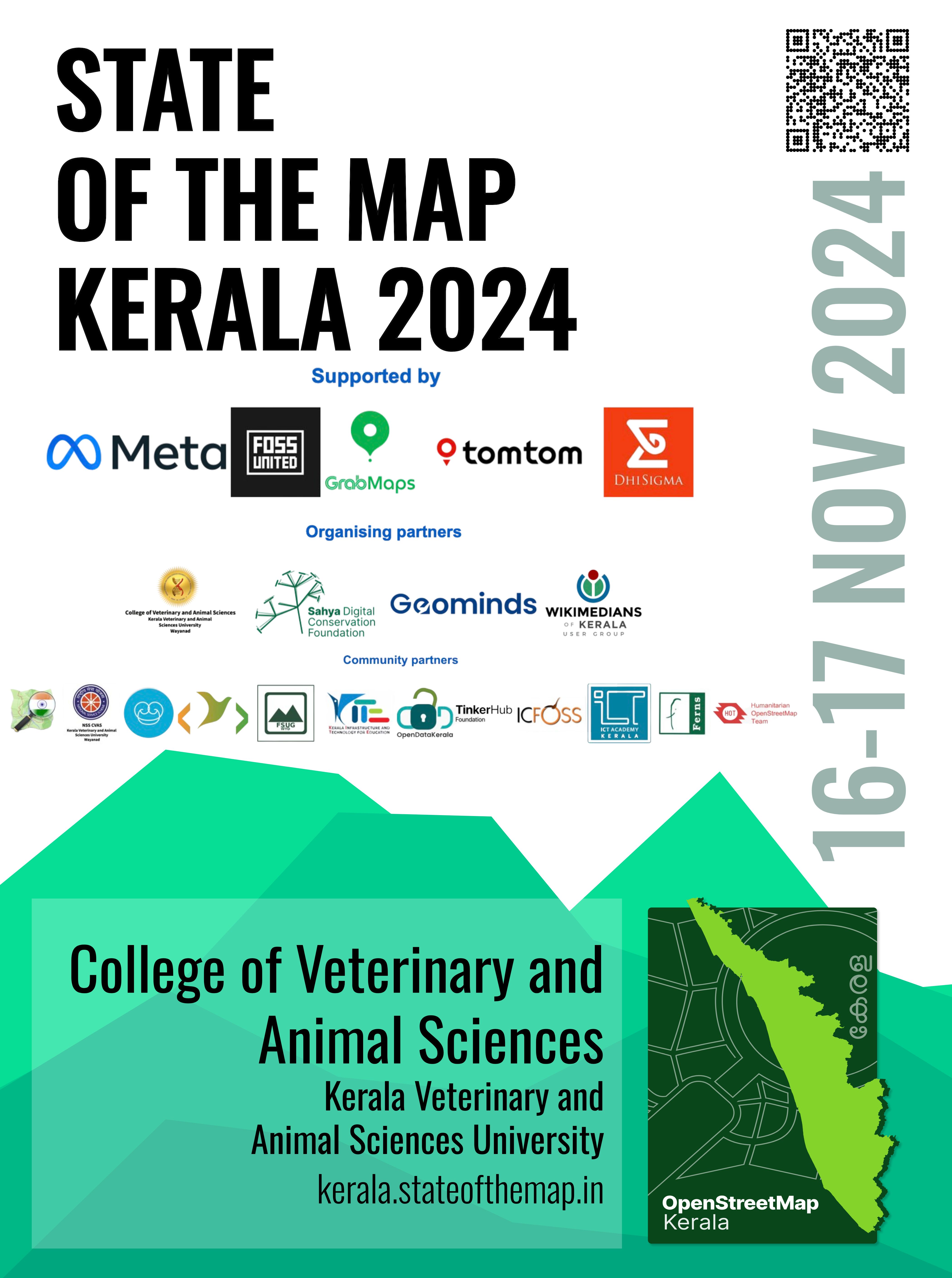
💌 Scholarship emails have been sent – if you’ve applied, please check your inbox or reach out to us at opendatakerala@gmail.com for any inquiries.
📅 The program schedule is in its final review and will be shared soon!
🎟 Limited tickets are still available – grab yours now at https://makemypass.com/state-of-the-map-kerala.
🤝 Want to support the event? Consider purchasing a Supporter Pass to become an individual sponsor.
Looking forward to an inspiring gathering!
Posted by radiotrefoil on 13 November 2024 in English.

Finished result:
https://www.youtube.com/watch?v=xUkLQj29vE4
Preamble
I have been interested in making “before and after” comparisons of mapping progress for a while. The rich and beautiful OSM-carto style as it appears in standard OSM is a particularly important element of what I wanted to achieve, but it remains quite difficult to render historical map data in this style.
This guide mostly follows the ohsome guide from 2018 but taken further and with updates. Please be aware that I have done little to optimise the workflow so far; this is more of a proof-of-concept at the moment.
I started out mapping in August 2020 and mapped almost exclusively in my old hometown whilst I was stuck there during COVID. I spent a lot of time mapping this area very comprehensively and wanted to visualise my work. Big shoutout to user John Bek who greatly helped with building tracing, which is quite tedious. The Blue Mountains towns of Katoomba, Leura and Wentworth Falls featured are now some of the most comprehensively mapped in Australia.
Previous method

.

Coucou 👋😅
J’ai un peu oublié de faire ça ces derniers temps, n’est-ce pas?
Pour faire court, j’ai été occupé par mon déménagement (qui a finalement eu lieu) et j’avoue que la motivation pour faire des vidéos était assez basse. D’ailleurs, je n’ai “que” huit nouvelles vidéos depuis le dernier update en juin.
Ce mappeur OpenStreetMap vous montre comment utiliser Strava avec un pseudo tutoriel GÉNÉRIQUE - Une session live (je n’ai pas envie de chercher le changeset dans mon historique 😅 ) où j’essaie d’expliquer comment utiliser la heatmap Strava de la meilleure manière possible
Améliorons Seraing (sur OpenStreetMap) - Hors-série (Rétrospective 2022-2024) - Pour “fêter” mes deux ans sur OSM, je suis revenu sur ce que j’ai fait pour remettre à jour et améliorer Seraing et ses environs
Ce mappeur OpenStreetMap PART EN PRISON, puis ajoute quelques sentiers à Verviers grâce à Strava - Une autre session live où j’utilise de nouveau Strava pour trouver des sentiers/chemins manquants sur Verviers (et dégager des bâtiments détruits depuis longtemps près de l’ancienne/future prison si vous vous demandez d’où sort ce titre putaclic 😏)
Améliorons Seraing (sur OpenStreetMap) - Épisode 40 (La liaison cyclo-piétonne Neupré-Seraing) - Une session live où j’utilise une trace GPS d’une sortie VTT pour faire des modifications diverses et compléter la future piste cyclo-piétonne Neupré-Seraing
Améliorons Seraing (sur OpenStreetMap) - Épisode 41 (Corrections et trottoirs) - Une dernière session live avec quelques corrections, puis je “présente” mon “projet” (je déteste ce terme, mais je n’ai pas mieux 🤷♂️) d’ajouter les trottoirs séparément sur Seraing
De ce côté, j’ai pas trop mal avancé pour le moment, même si je pourrais sans doute aller un rien plus vite 😅
Ce cycliste vous emmène sur les anciens chemins vicinaux de Seraing ANNEXÉS par Neupré - Une sortie VTT où je montre les cinq anciens chemins vicinaux sérésiens qui sont désormais sur le territoire de la commune de Neupré
Posted by LaMèreveille on 11 November 2024 in French (Français).
Pour cartographier un centre de données # pour débuter
-
osm.wiki/Tag:telecom=data_center il est necessaire de
- telecom data_center mandatory
- operator The operator of the datacenter. In the case of a corporate datacenter, this will be the organisation which owns it. In the case of a colocation facility, this will be the colocation company. recommended
- operator:wikidata Q recommended *name The name of the datacenter. recommended
- ref The operator's reference for the datacenter (usually a three or four character abbreviation). recommended
- owner
- exemples osm.org/way/159863825
si l’élement existe dans wikidata
- wikidata Q:
Pour trouver les datacenters sur la carte
[https://overpass-turbo.eu/?template=key-value&key=telecom&value=data_center]
Références
Sous le feu numérique-Spatialités et énergies des data centers [https://www.metispresses.ch/fr/sous-le-feu-numerique]
Posted by SomeoneElse on 11 November 2024 in English.
For some time I’ve been looking after a raster map style that’s designed to be a useful “England and Wales rural pedestrian” map, and also to showcase some of the richness of data that might not be obvious from basic “general” map styles such as the ones on OpenStreetMap.Org.
A goal for some time has been an offline version of that map style. At any useful level of detail that requires different technologies to be used, and the first parts of that - a vector map schema and a web map style - are now available (though not yet available offline).
The online version of that map is available here. It’ll take a couple of seconds to appear.
How vector maps work

Training materials
Qgis mentors
Na základě dokončení opravy vedení linek MHD jsem mohl začít pracovat na webu, který má za cíl přehledně zobrazoval vedení autobusů, trolejbusů a tramvají ve městě Brně se všemi variantami konečných v aktuálním znění bez výluk kratších než 2 měsíce. Web je statický, založený pouze na HTML, JS a CSS. Projekt je na GitHub, kde rovněž hostuje v rámci GitHub Pages.
Webová aplikace https://mhd-brno.cz je veřejná, nicméně obsahuje funkce, které pomáhají v práci řidičům MHD ve službě na trasách, které běžně nejezdí a potřebují ověřit její vedení, zastávky a orientovat se na trase v souvislosti se svojí polohou, tedy v reálném čase.
Hlavní funkce webu
- Zobrazení mapy (OSM a ČÚZK).
- Načítání relací linek Public Transport, kde je jedním z operátorů DPMB pomocí Overpass API.
- Zobrazení všech variant trsy s možným výběrem varianty, kdy se k ní vypíší i zastávky dle pořadí na trase.
- Získání a udržování polohy uživatele (typicky řidiče MHD) ve středu obrazovky a natáčením mapy ve směru jízdy. Nejedná se o plnou navigaci, ale pro orientaci vedení linky slouží dobře.
- Udržování rozsvíceného displaye při aktivní poloze uživatele.
- Instalace do mobilu jako webová aplikace (PWA). Zde bohužel vlivem známé chyby na straně Apple v systému iOS neakceptuje požadavek na stále rozsvícenou obrazovku. Při otevření webu běžnou cestou v prohlížeči Safari však vše funguje bezchybně.

တႃႇထတ်းသၢင်ႈ
*လူဝ်ႇၶိုၼ်းဢုပ်ႇၵုမ် လွင်ႈဢၼ်ၸၼ်ဝႆႉ ၽႅၼ်ႇလိၼ် ၸႄႈမိူင်းပလွင်ႈ
Posted by Gregory Peony on 9 November 2024 in English.
Preface
I created this template to aid project co-ordination in tasking managers, and contributors seeking feeback. It has gone through several iterations; this is the one that I currently use. I think that there will likely be some alterations, because I see some potential impovements, though I haven’t yet received feedback regarding it from mappers.
Following interest in the template I use for validation comments from other validators, I am going to share the current version I use in this diary entry. Please, try it out and share your ideas, experiences, and results.
The template is formatted using Markdown.
Thank you to anthaas for the idea of publishing a diary entry about it.
My experience is in using the HOT TM so there may be some idiosyncratic parts which should be modified to be accurate/function within whichever TM is being used.
I have not yet seen what if any impact this has on 3rd pass validation.
Design Rationale
It was over two years ago now that I (in)validated my first tasks on the HOT tasking manager. I took a break from that until ~ 7 months ago when I started validating some more tasks here and there. Then ~ 4 months ago SColchester put me onto a good project for a beginer validator, and after that I was validating tasks at a significantly greater rate. It was also his comment on a previous diary entry of mine that insired a change in this temlpate.
After (in)validating a greater number of tasks via the HOT TM, I soon found that I was repeating myself quite a lot. For instance, linking to learning resources, events and thanking users for their contributions was very standard. I didn’t exactly fancy writing the same thing over and over, and I wanted to reach more contributors, so I decided to create something that’d make the process more efficient and idealy result in a higher quality of contributions.
Posted by juminet on 9 November 2024 in French (Français).
Last updated on 16 November 2024.
Mise à jour du taux de complétion des adresses dans OpenStreetMap. Cet article fait suite à une série d’autres articles ici en septembre 2022, en mai 2023, et en mai 2024, où je compare le nombre d’adresses par communes en Wallonie entre la source de référence des adresses (ICAR) et OSM.
Mais cette fois-ci, j’ai aussi mis à jour la source des adresses officielles (ICAR), ce qui fait que la progression dans la complétion des adresses semble reculer! J’ai aussi corrigé le calcul en omettant les adresses OSM dupliquées par un point dans un polygone (typiquement un noeud d’un commerce/horeca qui contient l’adresse et qui se trouve dans un batiment avec la même adresse -> certains adresses étaient comptés en double).
En Wallonie, 1,206,060 adresses sont répertoriés dans OSM, contre 1,829,093 dans ICAR (65.9 %). On était à 64.4 % en septembre 2022 et 67.1% en mai 2023 et 73.2% en mai 2024. La mise à jour de le source des adresses semble faire reculer la complétion, mais pourtant les adresses OSM progressent toujours et à un rythme régulier!
Attention, beaucoup d’adresses officielles sont maintenant définies AVANT la construction des immeubles, typiquement dans les nouveaux lotissements. Cela fait de facto qu’arriver à 100% pour certaines communes n’est pas vraiment pertinent. Dans la commune de Habay par exemple, on a un taux de complétion de 85% seulement alors que l’immense majorité des batiments construits sont dans OSM avec leur adresse: des dizaines voire centaines d’adresses non encore construites sont déjà dans ICAR.
Voici une carte choroplète, montrant, pour chaque commune, le degré de complétion des adresses dans OSM par rapport à ICAR. Les limites de provinces sont soulignées par un trait plus gras.

In January, I introduced Overpass Ultra v2 and then in June I provided some updates. Today I’m excited to share that Overpass Ultra is now simply Ultra(v3) as it has evolved beyond simply being an Overpass client into a general purpose MapLibre GL JS IDE.
Since my last update, the following features have been implemented, culminating in the release & announcement of Ultra:
- More extensive documentation
- The concept of query providers
- Auto-sorting of
paintandlayoutlayer styling directives - Fallback
glyphs - Bundled icons as named sprite sheets
-
HTMLControlto add custom controls, including titles to a map
📘 Documentation
At the end of June, I announced overpass-ultra.us/docs on Mastodon. In addition to basic documentation about Ultra, it includes many Examples which are focused more on Ultra’s capabilities than the specifics of quering Overpass as there are already many resources for how to do that. It also includes a MapLibre Examples section which includes ports of many MapLibre GL JS Examples to help demonstrate Ultra’s capabilities as a MapLibre IDE rather than as an Overpass client.
⚙️ Query Providers
If you’ve kept a keen eye on the afforementioned docs, you’ll have noticed that you can specify the query provider with the type key in the YAML frontmatter
Ultra’s Overpass API support is now merely one of many query providers that are supported. Ultra now implements query providers for the following:
-
Overpass queries (
overpass) -
SPARQL queries (
sparql) -
ohsome API Elements Extraction (
ohsome) -
GeoJSON (
geojson) -
KML (
kml) -
GPX (
gpx) -
TCX (
tcx) - and more!
📄 JSON & XML GIS file formats
The geojson, kml, gpx, and tcx providers all work by simply specifying the contents of a document or the URL to a document as the query body.
For example, an in-line GeoJSON query doc (Load query in Ultra)
Posted by Pieter Vander Vennet on 9 November 2024 in English.
Last updated on 13 June 2025.

Hey all,
If you want to verify your OSM-account and get that nice badge, this is possible.
UPDATE: since june (or was it may?) 2025, the OSM website introduced “social links” in the user profile. You can link your mastodon account in there and save. (*)
Then, on your Mastodon-account, go to Preferences > Public Profile. Under ‘extra fields’, set ‘OpenStreetMap’ to the left and a link to your account to the right.
(*): Previously, one had to add a html-link with rel="me" attribute into the user profile.
use: Maplibre
use: Maplibre
Pengetahuan adalah bagian dari peradaban. Peradaban adalah hasil dari kemajuan. Kemajuan adalah proses dari peradaban. Pengetahuan-peradaban-kemajuan=sejarah.
Sejarah adalah hasil dari pengetahuan-peradaban-kemajuan. Sehingga sejarah adalah Wujud dari kehidupan.
Tak ada sejarah yg tak ada kehidupan. Begitu pula kehidupan yg tak ada sejarah.
🙏🏻 Swastika

Si mundemi qe te i qasemi nje shtetit te vogel dhe sapo i ndertuar per modifikim e Hartes
Posted by Cyrille37Bot on 8 November 2024 in French (Français).
Les données de population sont majoritairement obsolètes.
J’ai un script qui permet la mise à jour des communes (relation et admin_centre) depuis le fichier INSEE avec un changeset par département.
Fichier INSEE: https://www.insee.fr/fr/statistiques/8201904?sommaire=8202287
Discussion: https://forum.openstreetmap.fr/t/mise-a-jour-automatique-des-population-depuis-les-donnees-insee/7524/35
Commentaire du changeset :
Update population year=2021 source=INSEE 2024 #updatePopulation #France
puis
Update population year=2021 source=INSEE 2024 departement=<ref> #updatePopulation #France
Code source: https://framagit.org/Artefacts/osm-population-france-update
I made my first edit! Lookout northern Tasmania, here I come :)