I came across an article with a map in our local newspaper yesterday via a Facebook post, and at once, I thought “Oh, this map looks very much based on OSM”. This map had been published by the local County Council and had no attribution (to any map provider). So before sending a strongly worded email (because it’s not the first time they used OSM data without attribution), I played a game of spot the difference comparing the published map with OSM and the Táilte Éireann (government agency) data.
Here are just four things I found:

Their map data is from before July 8th 2023 which is when I changed the name of a road according to new signage, but they still have the old name on their map.
I think it’s very interesting that the local government continues to choose OSM over the government provided data (not sure whether it’s a financial issue or a data quality issue), but it would be very decent of them if they attributed correctly.
 Como usar o Editor avançado do JOSM

 Кажется, это храм какой-то религии. На шпиле вроде был какой-то символ…

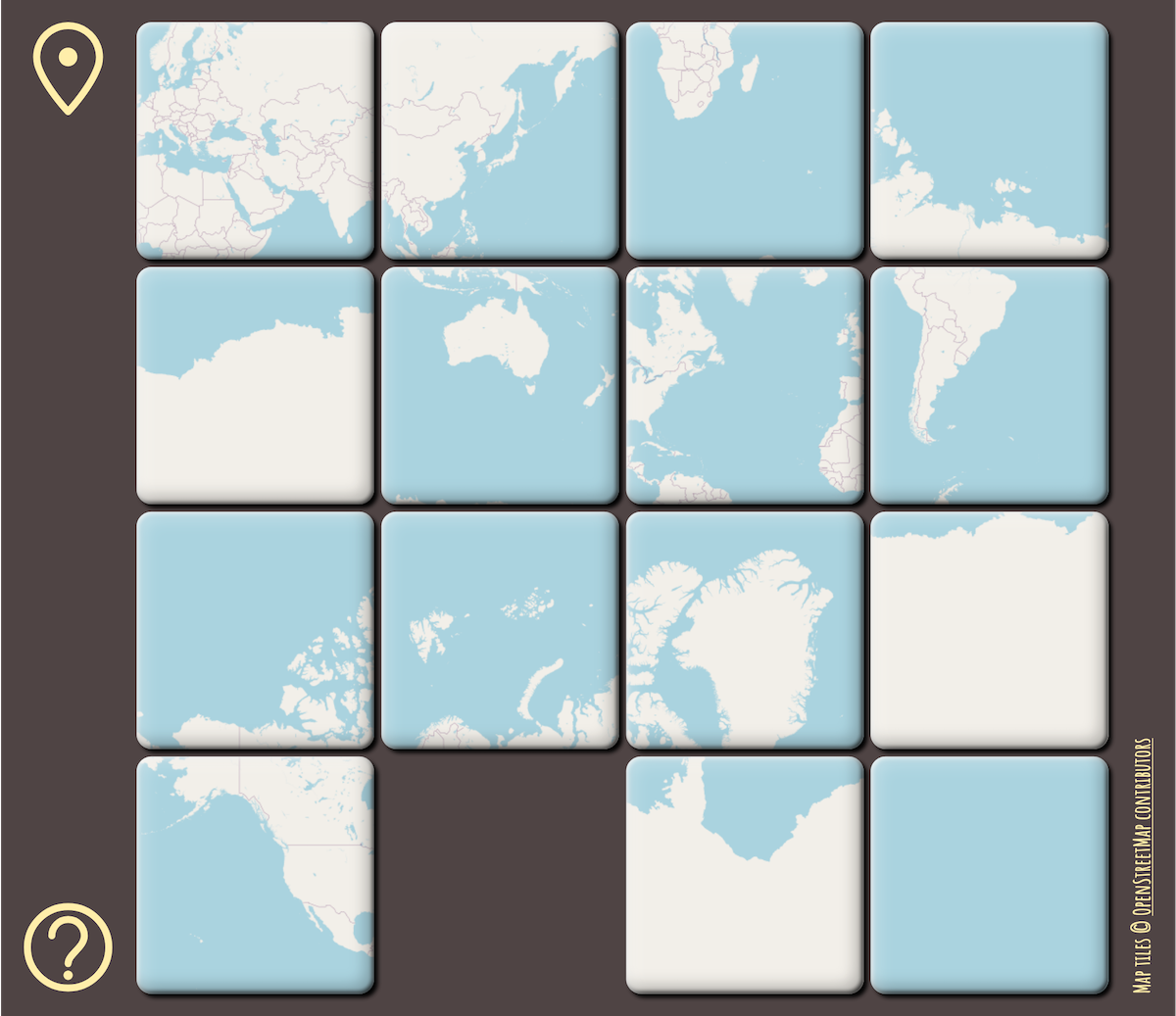 Scrambled puzzle showing the whole world in Mercator projection