Posted by MarcoR on 21 August 2024 in Italian (Italiano).

Ispirato dal diario dell’utente bryceco, ecco una lista aggiornata all’11 agosto 2024 degli utenti che hanno mappato sul suolo italiano per almeno 90 giorni consecutivi:
 OpenStreetMap
Ispirato dal diario dell’utente bryceco, ecco una lista aggiornata all’11 agosto 2024 degli utenti che hanno mappato sul suolo italiano per almeno 90 giorni consecutivi:
Im Lebacher Stadtteil Dörsdorf wurde schon 1791 ein Wegekreuz an der Straßenkreuzung im Ort erwähnt. Von den 1962 nachgewiesenen 9 Kreuzen sind noch 6 historische Wegekreuze erhalten geblieben (http://overpass-turbo.eu/s/1Q0F). Diese wurden nun in einer Wegekreuz-Tour vom Dorf hoch hinauf zum Gipfelkreuz/Bergkreuz auf den 439 m hohen Berg namens Krummer Stein beschrieben und in OSM kartiert. Die Infos dazu finden Sie unter http://www.besse.de/buecher/2024_Doersdorfer_Wegekreuz-Tour.pdf
Das nachstehende Foto zeigt die sechs Wegekreuze in und um das Höhendorf Dörsdorf:

Read part 1 here.
I drive through the new RCUT intersection again today, this time making a GPS trace of my movements. I attempted to make each of the possible turns in the configuration. I did have to make one illegal maneuver, as the left turn north from Athens-Boonesboro does not go anywhere, and, while the light is installed and the turn lane unblocked, there are signs indicating that no turn is possible from that lane. The light is (as far as I can tell), in a semi-permanent red arrow state until the side road is developed. Since the turn lane is divided from the main road by a concrete island, the only way out is to make an impermissible left turn or unsafely reverse back into traffic. I chose to make the left turn. Cones or bollards are probably warranted to keep motorists from accessing the left turn lane to nowhere.
Based on this trace, I attempted to align the nodes for the separated left turn and U-turn lanes to the correct positions. Since the lane begins further back from where the dividing island begins, there is some ambiguity on when to split the lane into a separate line; I chose to break it off roughly where the dividing island begins. This makes for a less visually appealing line, but it does semantically indicate where lane changes are still technically possible.
This matches the approach I saw elsewhere on OSM, in Troy, MI. Apple Maps does the same thing (possibly with OSM data), while Bing Maps maps the entire turn lane as separate. Google Maps has a very interesting mix where one direction breaks away at the dividing island, but the other direction breaks away much further back in the turn lane. Google Street-View imagery from November 2021 shows bollards dividing the entire turn lane, so their system must’ve used that as the dividing point . Bing Maps imagery collected in April 2022 do not show these dividers.
Glad I found this app so I’m able to help out, as my neighborhood is very very much out of date! Many roads are missing and names are missing for many roads on the map…. Now, if I can figure out how to actually get my note to save, or how to name a road, then I’ll be in business!! hahaha.
Another little update. I am writing these, usually, on Sundays. Since I am still a new user of OSM I am writing these as a little how are things going. I wanted to share my experiences and ideas with the greater OSM community.
I am still doing the mapping and having a super hard time in some ways. I have a disability and if the OSM community could make the program more accessible that would be helpful to a lot of folks. I am haaving a really hard time mapping and understanding what the tools do. For instance attributes like car=wheel, just took that out of the air. I am not fully understanding the relationships and how many should be tagged and if there is a standard block of them already made up for new users. If anyone has any ideas on how to understand the relationships more please feel free to let me know.
I know I just mentioned that I have a challenge and I am curious what the OSM community is reaching out to folks with challenges. Keep in mind I know nothing about what OSM is or has been doing to make this possible. Its a thought I had.
No idea what github is and I am not sure if I should use it or not. I would love to learn more about it and what I can use it for and what one cannot use it for.
I am having a lot of fun doing this. Its simple yet important information. I am super curious about what happens and what the data collected goes towards after a quest is completed. Its simple yet I feel I am contributing in a small simple way.
Its not much but some questions and thoughts this time. Have a wonderful day!
If anyone knows of any answers to my questions, or thoughts, or people I could reachout to please let me know and feel free to DM me.
Pete Masters called our attention on this new feature for communities on OpenStreetMap, so I decided to give it a try.
First thing to say is that it resulted me very confusing, not only the name -as is told in the comments of the original publication- but the sign up process too. Here are some screen captures to ilustrate the process:

This part was easy but confusing. I had to take a look at the URL to be sure I was not trying to create another OSM user. And I had my OSM user live and open in another tab.
Lexington, KY is in the process of installing new “RCUT” intersections on Athens-Boonesboro Road 0, to support future development, including a new pro soccer stadium 1 along the corridor near the I-75 interstate access. I am attempting to add the features as they go live. The first section, at Competition Drive went live on 2024-07-22. I have made a first cut at adding it in this edit, basing it off of the map imagery provided by the state transportation cabinet, a drive-through I made, and an existing similar intersection in Troy, MI.
Zapraszam serdecznie na Hackathon Budynki planowany na wrzesień 2024 w Warszawie.
Główny cel hackathonu to przywrócenie pełnej funkcjonalności bardzo przydatnej strony budynki.openstreetmap.org.pl/ służącej do importu budynków/adresów z oficjalnych polskich baz danych do OpenStreetMap.
Dodatkowe cele/okazje:
Więcej szczegółów na forum: https://community.openstreetmap.org/t/hackathon-budynki-2024-09-warszawa/117592
 Entrada principal del cementerio de San Miguel. Fuente: trabajo propio (CC BY-SA 4.0) disponible en Wikimedia Commons.
Recientemente he estado creando algunos artículos para la Wikipedia en español sobre personalidades cuyos restos descansan en el Cementerio Inglés de Málaga. Dos de las personalidades más destacadas que aún no contaban con artículo propio en Wikipedia eran el cónsul británico William Mark, fundador del cementerio, y el joven irlandés Robert Boyd, cuya injusta muerte vinculó tan trágicamente la historia de Málaga, España e Irlanda.
Мой доклад на мероприятии, посвященном 20-летию OSM, доступен на ютубе, у кого он еще работает, а еще тут.

Доклад посвящен генерализации, которую мы обсуждали зимой, и открытой карте покрытий.
Вообще-то о том, что нужны доклады, я узнал меньше чем за сутки до начала, потому что мероприятие планировалось как алкогольно-развлекательное, но выяснилось что осмеры без докладов не могут.
Было еще три доклада, причем очень интересные, но ленту с их видеозаписью съела годзилла.
Strava > OSM
“Where a pathway is designated for pedestrians but is also allowed for bicycles you can use highway=footway and bicycle=yes.” osm.wiki/Tag:highway=footway
Wir vom VMT hätten intresse an einer OSM Schulung. Gibt es hierfür mögliche Ansprechpartner bzw. Anlaufstellen.
mögliche Inhalte der Schulung (grob):
Rückmeldungen bzw. Erstkontakt bitte als Nachricht in OSM an Verkehrsgemeinschaft Mittelthüringen GmbH schreiben.
Vielen Dank im Vorraus. =)
About a year ago I wrote about my experiences of mapping in Bonaire. It’s time for an update.
One of the challenges I had was adding data without high quality and recent imagery. Luckily, earlier this year the ‘Satellietdataportaal’ (Satellite Data Portal) made high resolution data available for Caribbean Netherlands.1
First things first though: are we allowed to use the aerial photos they publish for improving OpenStreetMap? There is a long thread on the Community forums. Whether it’s allowed or not depends on the agreement the Dutch government has with the satellite data provider.2 Luckily, in the topic itself it is discussed that it is allowed to use Pléiades, SuperView and TripleSat.
The downside? You can only use this in The Netherlands. The data is geoblocked. I’ve added a lot of new streets and buildings in Bonaire over the past few weeks, but only other people currently in The Netherlands would be able to validate that I’m mapping actual buildings. The rest of the world would need to wait for a worldwide aerial imagery provider to update their data.
In the Satellite Data Portal Viewer, after selecting Bonaire from the top left menu, you then need to select a part of the area for which you want to see the satellite data, then it gives you a list of options. Currently for Bonaire there are only three options (as we’re only interested in recent and high resolution satellite data). * Pleiades-NEO January 9, 2023 * Pleiades-NEO April 18, 2023 * Pleiades-NEO June 17, 2023
The January one is generally too cloudy, but the April and June ones are useful. Use the April one if you’re looking at the Western part of Bonaire (Rincon and Washingtong Slagbaai National Park) and use the June one for Kralendijk and all of the east and south.
You can simply click on ‘Select for WMTS’ which fetches you a link.3
Update for the past 10 days of the mapping challenge.
Today I mapped the last village on the list, so in 71 days i have mapped around 100 villages. Since my initial personal challenge was to map for 100 days, I will continue mapping and add villages to the list. I will finish mapping what is left from the Online Mapping Party for OSM 20th birthday. List of villages is we mapped and what is still to be mapped is here.
Villages mapped during the past 10 days:

https://ivides.org/20-anos-de-openstreetmap
APRESENTAÇÃO
Quatro oficinas serão realizadas, 100% on-line, com cerca de 2h cada, onde serão apresentados os fundamentos do OpenStreetMap para a comunidade. Atividades práticas também estão programadas, como a elaboração de mapas Web com uMap e mapatonas no gerenciador de tarefas (Tasking manager).
I
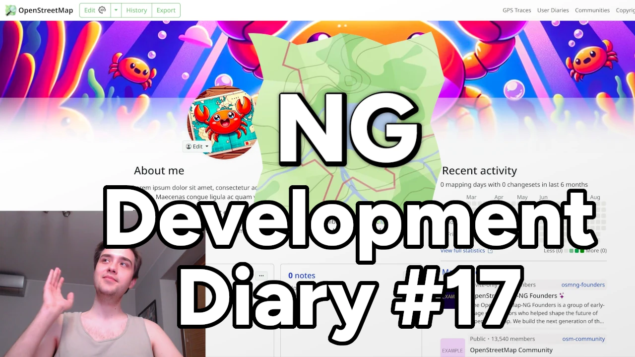
Heyy! I am very excited to share our latest OSM-NG development progress with you. Apologies for the slight delay — I wanted to wrap up some work for this week’s diary.
🔖 You can read other development diaries here:
osm.org/user/NorthCrab/diary/
⭐ This project is open-source — join us today:
https://github.com/openstreetmap-ng/openstreetmap-ng
🛈 This initiative is not affiliated with the OpenStreetMap Foundation.
It’s been a while since our last video showcase, so let’s recap the recent progress in video format. It’ll also give you a better feel of the new exclusive profile backgrounds feature.
⬇ Click below to play ⬇
or click here: https://peertube.monicz.dev/w/5fKNRsq2K8jRyF22zEG5px
With OpenStreetMap-NG, users can now customize their profile backgrounds, making their personal pages even more personal. It’s time to show off your personality!
im a new user and i was able to download a first map in pdf, however i change to transport map as i want a clean version of my map to edit on illustrator and i cant download. might use some tutorial or any help is highly appreciated
Toulouse
Rando des Pays au Viallet