 OpenStreetMap

On December 5th, 2017, I joined Humanitarian OpenStreetMap Team with the goal of making a tangible impact. Over the years, my curiosity on the HOT Tasking Manager grew, and I found myself increasingly drawn to OpenStreetMap (OSM). At first, I was overwhelmed with how to become more active and create more impact, but I soon discovered that my love for and working on the computer was my gateway. Contributing to OSM quickly became an addiction, a way to relax, a therapeutic outlet when I was feeling tired or frustrated.
Users' Diaries
Recent diary entries
Posted by UNGSC-DTLM-Ale_Zena on 3 October 2024 in English.

osm.org/relation/15736220 What to do against these deletion? I know, you’d said “oh, just revert the changes”. Teoretically you’d be right …. teoretically
Dealing with these long relation it’s not easy, unless you keep monitored and act in the first hours or in a few days
I’ll try to fix it

2-oct-2024 Track recording (pakai street complete - android app) jalan perumahan VBT baru yaitu Block F2(?), langsung edit osm lewat vespucci (android)
Belum selesai, besok lanjut lagi
Posted by Provinsi Papua Pengunungan on 2 October 2024 in Indonesian (Bahasa Indonesia).

Provinsi, Papua, Pengunungan
Posted by Janaína Brígida on 1 October 2024 in Brazilian Portuguese (Português do Brasil).

Mapeamento de ruas, passeios não formalizados. Árvores frutíferas.

Something local for my first entry
شارع عين الهاشمي شريوف
شريوف
Zannat Street

area fix
Posted by Zkir on 27 September 2024 in Russian (Русский).
Last updated on 30 September 2024.

Я очень горд собой, я перепилил Московский манеж. :”) Как никак это один из наших архитектурных шедевров.
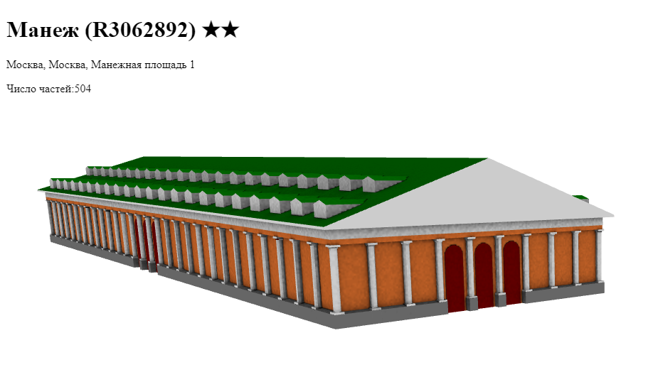
Доводить его до 6 тысяч элементов наверно смысла нет, хотя возможность такая есть)
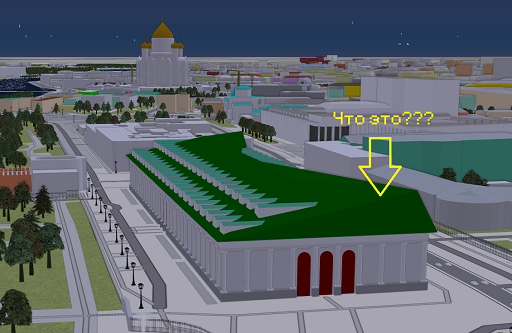
У меня в рендере выглядит нормально, а F4 что-то подколбашивает.
On November 13, 2023, Miami-Dade County’s transit agency, Miami-Dade Transit, implemented significant changes to its bus network - designated the “Better Bus Network.” These updates aimed to enhance coverage for neighborhoods and business districts that primarily serve lower-income residents. As a result, many routes and stops were altered, relocated, or removed.
To the best of my knowledge, much of Miami’s transit data on OSM was originally contributed by user drynwk around 2021. Most of their contributions have remained untouched for nearly three years, despite the major changes from the Better Bus Network almost a year ago.
Miami-Dade Transit has provided updated transit information to platforms like Google Maps, Apple Maps, and likely other GIS services. I believe it’s essential that OSM volunteers also have access to this data. To that end, I’ll be making an effort to obtain the relevant information from Miami-Dade Transit and share it with the OSM community here in Miami.
In addition, I plan to update the bus route relations on OSM to reflect the new route names, ideally matching the official names used by Miami-Dade Transit across their buses, maps, and app. I’ll also be reaching out to request the correct route names for accuracy.
Edit: On November 25, 2024, there will be another revamp to the Better Bus Network. These service adjustments will affect most routes, and as such, will postpone my project.
Hallo Open StreetMap ist wirklich ein sehr cooles Projekt, Respekt und Dank an alle Menschen die das durch ihre hervorragenden Leistungen möglich machen. ich habe jetzt länger gesucht ob man die Weltkarte nicht auf Englisch umstellen kann , ich bin leider bei längerer Suche nicht darauf gestossen , wo ist denn der Umschaltknopf auf englische Sprache , ich kann leider nicht Russisch Arabisch oder Chinesisch usw lesen… des weiteren benutze ich viele Linux Software mit OSM Karten leider nicht mehr auf Englisch das ganze …kann mir jemand weiterhelfen?
การดูมุมมองจากที่สูง
ธรรมชาติที่แสนหาดูอยากจากมุมองจากที่สูง

Hi all!
I’m Freya and been a contributor since April 2024. I’ve since then noticed there is a lack of diversity that covers different groups of people to make them feel welcome or drive questions as a team rather than as spread out individuals here and there
We will not be doing work that Local Chapters and Communities Working Group is already doing, instead we will be working towards highlighting ways to be inclusive, organizing projects to increase accessibility in specific areas, or just hosting a friendly place for people to chat in!
To start with I’ve setup a wiki page containing what exactly the goal is and how we will work, and my plan is to develop this initiative as time goes on and more people get interested
We also use the Contributor Covenant v2.1 as our Code of Conduct
No projects setup yet but in the plans to organize an event soon! :pray:
Here’s a few resources I’ve setup for now

امروز فرارت شلوغ بود ترافیک زیاد و چندتا ماشینم خراب شده بودند
امروز فرارت شلوغ بود ترافیک زیاد و چندتا ماشینم خراب شده بودند
Posted by TrickyFoxy on 26 September 2024 in English.
Last updated on 6 October 2024.

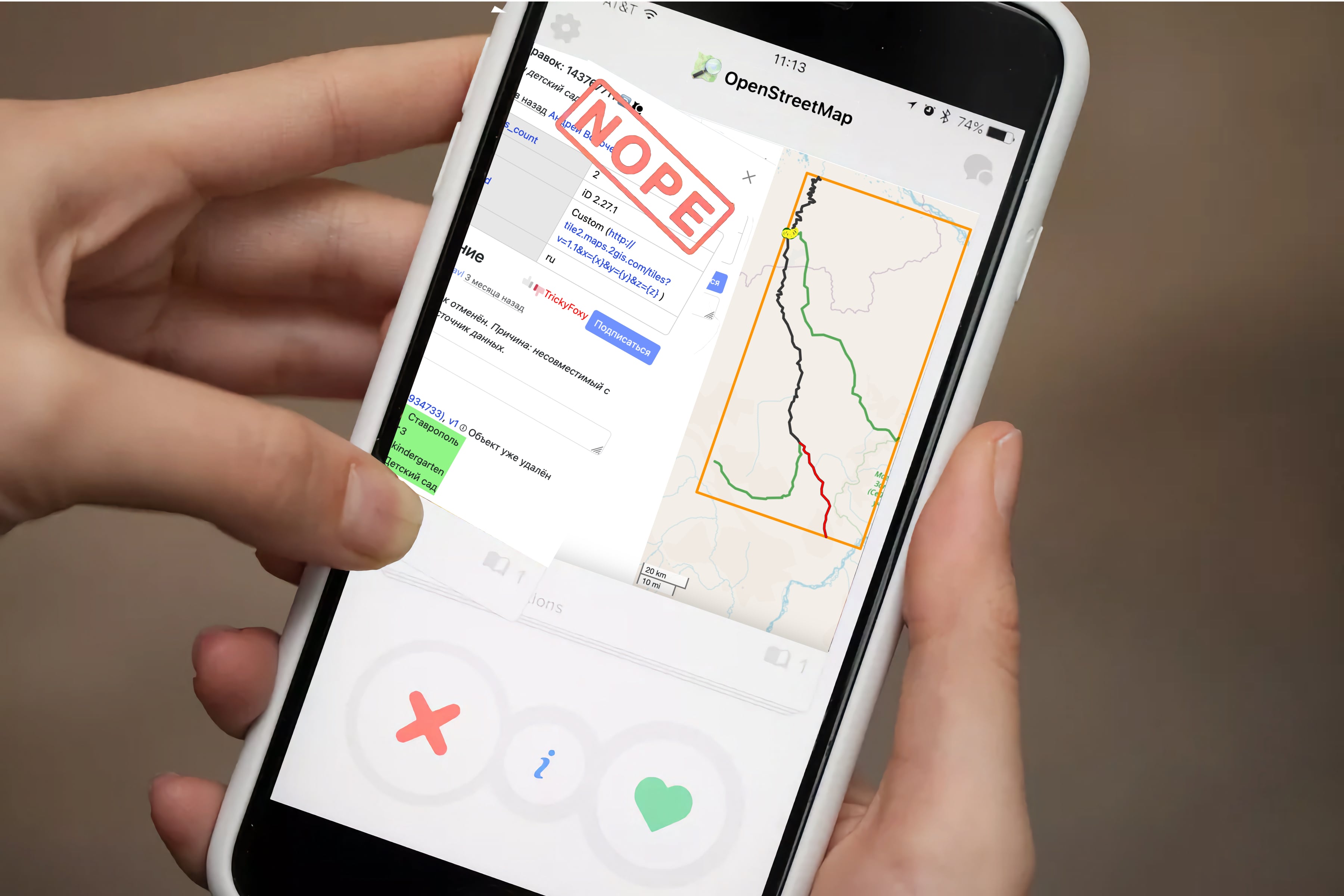
Visualization of changesets, dis/likes, more hotkeys and viewing old versions of map objects
🖼 Visualization of changesets
Previously, you could only view changes in tags and only minor changesets. Now you can see objects that have been changed, and pagination is removed whenever possible:
Posted by UNGSC-DTLM-Ale_Zena on 26 September 2024 in English.
Working mainly in Africa it’s not rare to come across to crowdsourced powered mapped areas. I still repair, from time to time, the disaster done in 2022 in Mogadishu
Today, near Bor osm.org/#map=17/6.178444/31.578194 , another masterpiece: a lot of triangular (one 2600 sqm trapezoidal) buildings, and 3 tourism=camp_site
Who does need this rubbish? How good the validator to the related HOT task worked?
Alessandro