 OpenStreetMap
Users' Diaries
Recent diary entries


I want to improve/update the lane information on the US highways where I traveled (maybe I’ll come back there one day and use OSM for navigation). The first one is US 6 in Utah, a part of the route between Salt Lake City and Moab, where great Arches and Canyonlands National Parks are. Bing aerial imagery is pretty good and recent in the US, so it’s pleasant to use. It’ll be an ongoing project in between other mapping.
What I’m mapping:
- number of lanes, turn lanes, change lanes (near intersections),
placement; - removing
note:laneswhere it’s now redundant; - turn restrictions including implicit ones;
-
connectivityrelations inferred from road markings; - occasionally aligning the road to the Bing aerial photos.
I discovered an unrecorded shipwreck recently on Bing imagery, but because I don’t have the energy to put it all into words again, I’ll just copy and paste the press release I sent out today. It’ll be another chance to get the word out about OpenStreetMap.
I also made a video about it, but it’s a but all over the place, because I recorded, as the story developed, so it might be jumping around a bit. Sorry.
Press release
Craft mapper discovers shipwreck after almost 100 years
Volunteer OpenStreetMap contributor Anne-Karoline Distel discovered a shipwreck on July 9th 2023 in the River Barrow. It was identified as the Tresness, a three-mast schooner which sank on August 21st 1929 on its way from New Ross to St. Mullins.
Anne had been mapping along the River Barrow using newly released Bing satellite imagery, when she discovered the wreck which is about 25m long and clearly visible on the imagery, possibly because the photographs were taken at low tide. After consulting with underwater archaeologist Jimmy Lenehan, she reported the discovery to Karl Brady at the Underwater Archaeology Department of the National Monument Service. Karl was able to identify the ship; it had made the news in the Irish Independent, the Northern Whig and Belfast Post and many other newspapers at the time.

THE BEGINNING: Let’s do a reunion in Kosovo! That was my first reaction when I was first introduced to the idea of FOSS4G conference last year (when I was still in New Zealand) by our host Gresa Neziri, one of the main persons at the event, and a dear friend. Luka and Slavica, my two other Balkan friends were also joining. Exciting! Although, I have moved away from spatial data analysis for my research, the opportunity to reconnect with old friends from ITC, Netherlands and potentially connect my research on disasters and ethics with spatial planning was an opportunity I did not want to miss.
Recording 100tracks by 10eps b4 August 15,,by da illest#nijatrapwahala #ika #1tahdaillest #kastleshit #ceekindatinx
Привет всем! в перспективе, всем беспилотным системам придется это учитывать, однако, и сейчас есть актуальность. давайте создадим бесплатный слой дорожной разметки и знаков! по ним потом будут ее наносить повторно, не дадим монополизировать эту информацию…

A virtual discussion on the subject “The Sustainability of OpenStreetMap Communities” held on July 4th, 2023 was the sixth of the Humanitarian OpenStreetMap Team (HOT) Community Working Group Peer-to-Peer Learning Series aimed at supporting the new OSM chapters in Saint Lucia and Dominica. What follows are some key takeaways from that discussion.
The session got underway with an icebreaker of sorts where participants were asked to give one word that could be used to describe a sustainable OpenStreetMap community. The question garnered 19 responses, including: inclusive, resilient, accessible, accountable, self-sustained, and active.
What are the potential challenges or barriers to sustaining an OSM community?
The question received about 21 responses. Lack of resources was a commonly repeated theme, with the key resource being financial.
Other challenges highlighted include a lack of motivation and the inability to replace leaving members. It was noted that language differences can also be a factor.
Additionally, there were personal testimonies of challenges, for example, Covid 19 stopped in-person meetings for OSM Kenya forcing online meetings, which hindered some of the members.
What funding models or strategies can be implemented to ensure the long-term sustainability of an OSM Community?
This question was particularly relevant coming off of identifying the lack of financial resources as a prevalent challenge to the sustainability of an OSM community. Again 21 responses were generated.
Membership fees were raised as an avenue for fundraising, but some felt that it might be counterintuitive as it may scare away would-be members.
A key source of possible funding is grants from the OSM foundation, although it was more typical for newly forming communities.
The groups’ earning potential was also discussed, for instance maybe the community should be allowed to take up a funded project or use the varied skill sets within the group for earning finances.
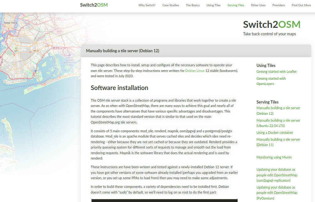
I’ve added a new page to the switch2osm guide: “Manually building a tile server (Debian 12)”.
Mostly it’s minor changes only from Debian 11 and Ubuntu 22.04 - new versions of software, that sort of thing. Where new manual steps have to be carried out, the guide describes them. Debian 12 itself does have some differences - “syslog” is no longer created by default, so debugging changes slightly.
I’ve also updated a couple of other pages such as the replication ones to reflect that Debian 12 is now a supported operating system.
Separately to that, I’ve moved map.atownsend.org.uk (which uses a related may style) from an Ubuntu 22.04 server to a Debian 12 one. There was nothing wrong with the old one, but the hosting provider I use was offering higher spec ARM servers for essentially the same price as the old AMD one I was using, so it made sense to move.
.. um dem Blog einen Eintrag zu geben :)
Wir sehen uns, * 15.7.2023, Peer

I recently had to drop off some bottles and every store I went to had no bottle return machine (no pant automats anywhere!) so I might try and add some info on this on grocery stores I went to. If there’s no tag, I may just add a recycling point inside the store.

Finding that adding sidewalks take a lot of time.

There’s this absolutely marvelous tool that offers Overpass tutorial with a storytelling approach. You get hints at how queries should be modified, and can try them out against real data, progressing as you find new bits of information from OSM data.

Unfortunately, it’s a bit out of date compared to the current live data in the OSM database, and breaks somewhere around step 6.
Still, even if you haven’t used Overpass before, the first five steps can be useful - and maybe the project gets revived :)

On the 6th - 7th of July, I and my team members were at Ayete and its environs in Ibarakpa North of Oyo state Nigeria to collect data on safe places for female genital mutilation.

For some reason, I have decided to re-engulf myself within OSM. I have found almost an entire city in south Colorado, devoid of houses mapped, and have thusly made it my mission to map them. After 3 days of mapping, I would deduce that I am about 10% done with all of these houses. Progress is certainly being made.
Hi everyone!
This is a blog post providing an update on the progress of my project, which aims to improve the search experience in Japan. My project is 12 weeks long, and we are currently in the 7th week.
How did we approach it?
Based on our research, we identified two key areas for enhancing the search experience. These two aspects are interconnected, and we are working on resolving them simultaneously.
Searching for addresses: Currently, Nominatim focuses on the addr:street and addr:place tags when searching for addresses. However, in Japan, addresses are primarily based on block addresses, and the street component is less significant. Therefore, we need to ensure that Nominatim can appropriately assign the correct parent when conducting searches.
Importing data: Nominatim generates a database from an OSM planet file. To accommodate the block address system in Japan, we are adding a new sanitization function to adjust Japanese addresses. This will ensure that the data generated from the OSM planet file aligns with the block address structure, similar to the changes made on the searching side.
Progress Update
pnorman and stereo analysis of Changesets
Following the temporary interruption of Maxar Imagery Access for OSM edits, pnorman and stereo published in the last few days analysis by changesets of Maxar usage. They used OSM Changesets Data for the last 12 months to make partial analysis from of Imagery usage by country showing a concentration in some countries from Asia and Africa.
Synthetic view of changesets and by Objects edited, 2022
I wanted to react rapidly and present a synthetic view. My excuses if any inconsistancy in resuls. The data I have on hand was extracted from the OSM Planet changeset file ending in 2022 using my own version of changesetMD. Analysis for 2022 is grouped by Continent / Sub-Continent where I divide Asia and America for North and South (South-Asia + Oceania).
The tags variable in the file provides the source and imagery_used keys, both with references to imagery used as source. And you can have sometimes simultaneous references to many images (example: Maxar, Bing, Esri). This can come from JOSM which presents us with a list of all the imageries opened in our session or is simply the fact that the contributor indicates that he used more then one image provider.
What I present is also a brief analysis where I classiy sources as :
- Maxar
- Other Major Imageries (Bing, Esri, MapBox)
- Others (all other sources - hard to classify rapidly)
- Noref (no source indicated).
Previous analysis were based on the comparison of the number of Changesets by country. I do present results for both Changesets and Objects Edited (ie. no of Nodes, ways, relations edited). The variable num_changes (no. of Objects Edited) better represents the intensity of mapping. A changeset can contain only one building (5 objects edited) or thousand of objects edited.
Analysis by changesets

Hello everyone, I am here again with the 4th Blog of my journey as an Outreachy intern. For those who don’t know me , I am Neelima Mohanty , selected as an Outreachy intern at Humanitarian OpenStreetMap Team (HOTOSM) for the May to August Cohort. If you are new to my blog then make sure you read my previous Outreachy Blogs before going through this blog post.
This blog post will help you to know me better and offer me job or internship opportunity according to my skills after I complete my Outreachy internship.
My skills and experience
Being a Computer Science and Engineering Student , I have learned a list of technical skills and am still learning more. As I believe that learning without implementation is worthless thus I have had experience of each skill that I have learned in the form of internships in various organisations. I welcome everyone here to have a look into my Resume to know about my experiences and skills in detail.
Opportunities I am looking for
I am looking for developer roles as well as technical writer roles . I will be interested to work and assist on job or internship related to any of the following domains : web development , app development , AI/ML , Cloud Computing or technical writing. I am eager to contribute my skills and assist in any capacity within these areas.
What makes me Unique for your organisation?
Below are some of my interpersonal skills which I consider as my strengths for an job/internship opportunity:
Carried out some updates while in a different area. The sidewalks/ pavements were mapped separately from the associated road. This made it a pain to improve road alignment and routing results were not ideal. Using the sidewalk tag on the road object and joining a physically separate path object to it seems easier/clearer?
Last month, a friend and I started an Irish mappers’ “Stammtisch” called the Kilkenny History Mappers. It was his idea to have a regular in-person meeting mapping history, and I organized it.
I had sent a press release about the next meeting to our local paper (this is what they made of it, image not provided by me), and because everyone is connected here, the local community radio station contacted me and asked for an interview. I was hoping it was going to be a recorded one rather than live, because I’ve never done a live radio interview before, but alas…it was live. But it was fine.
His questions were good, I thought. It was lucky that I had mapped the area around his house. Well, maybe not so lucky, since I’ve mapped a lot, but it helped and made it relatable.
If anyone is interested, here’s the link. There are a lot of ads, because the radio is financed through them.
The audience of the radio station is probably 50+, to say the least, so I’m not expecting to recruit any new mappers, but it was nice of them to give us air time.