 OpenStreetMap

An example of a (small) territory mapped using the OSM Skeleton methodology
Posted by SeverinGeo on 19 August 2026 in English. Last updated on 20 August 2026.Following the launch of the OSM Skeleton methodology (see this post, featured in weeklyOSM #836), I wanted to illustrate it with an example by resolving the main reports in an area of Senegal where the demo is currently being deployed.
At first, I thought about mapping the Koungheul department, but given the scale of the task, I ultimately settled for one of its arrondissements, Ida Mouride. Arrondissements are the third level of administration in Senegal, after regions and departments.
The small size and limited number of Skeleton reports in this district allowed me to complete the task in about fifteen sessions of my daily OSM mapping routine.
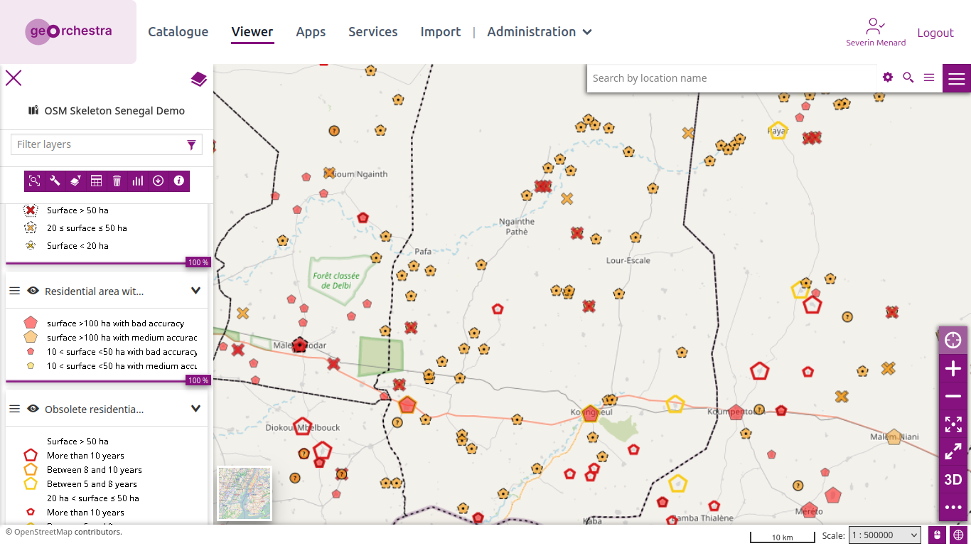
The initial situation as of July 31 was as follows, for the entire department:
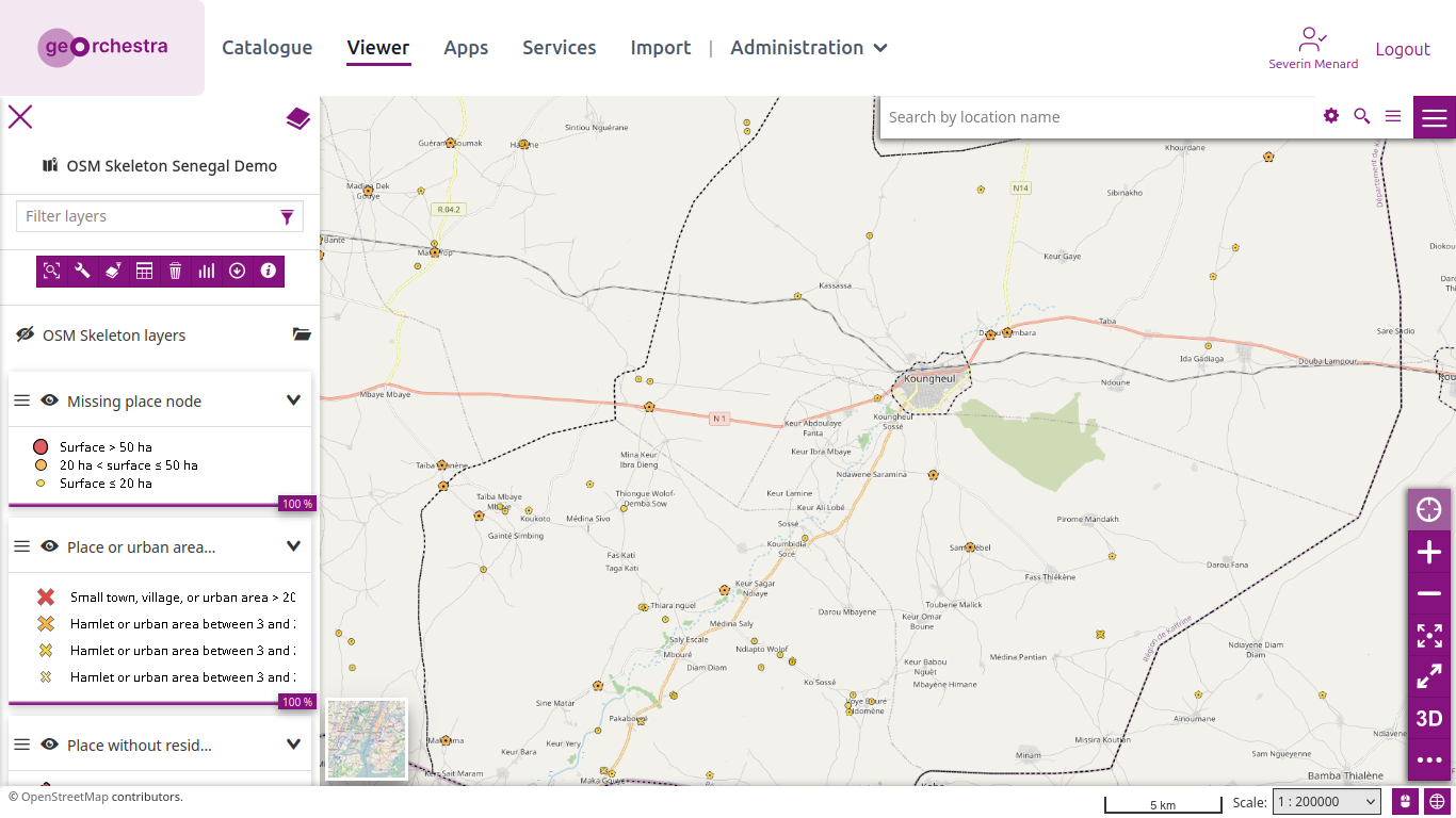
And zooming in on Koungheul:
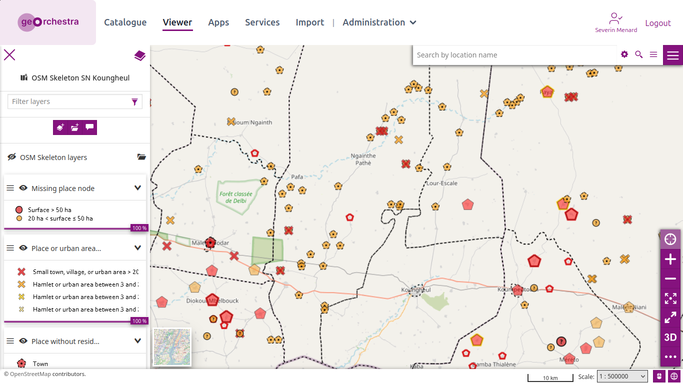
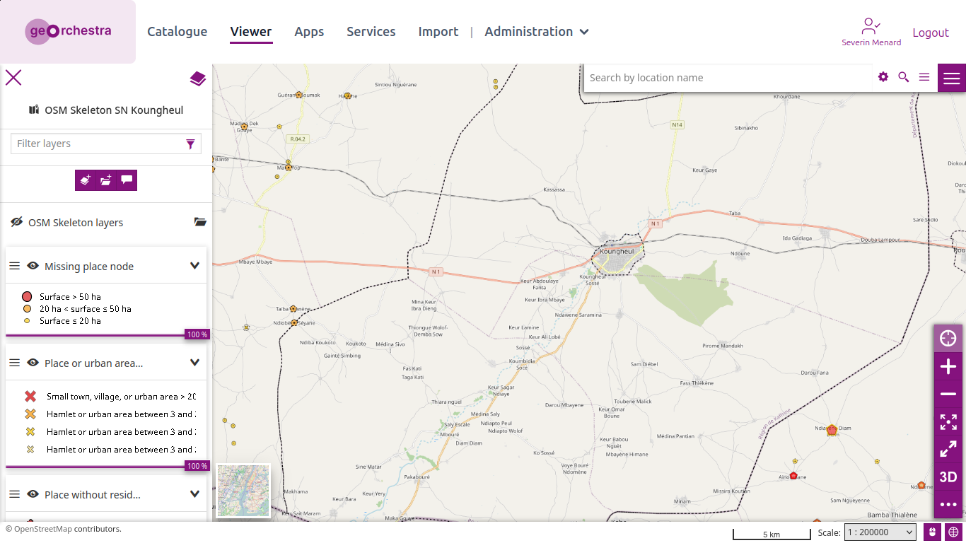
Here are the same areas today:
I created a statistics dashboard to track the progress for each type of report between August 5 and 19 (so my initial edits - which mainly involved about ten large villages without residential zones - are missing). The charts should be read as “Remaining / Total at the Start.” In the example below, the 18 hamlets without residential areas have thus been mapped:
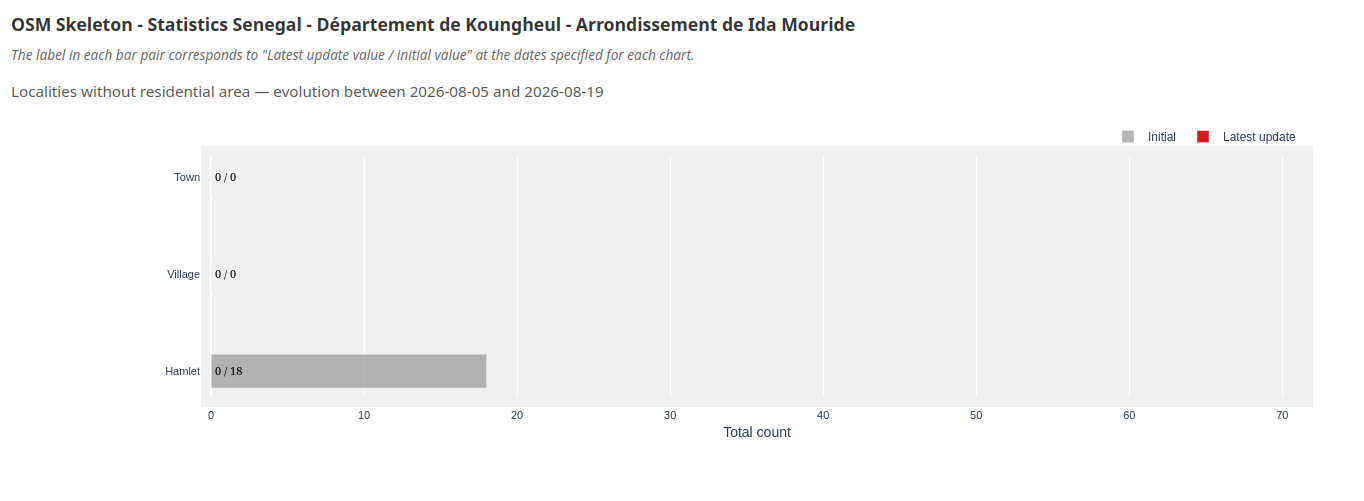
As can be seen across the entire dashboard, there are no longer any reports regarding already identified settlement areas larger than 20 ha. While there is certainly still work to be done on smaller settlement areas, this already means that within the territory of this arrondissement, all settlement areas larger than 20 ha are clearly characterized by a categorized location, are connected to the road network, and are represented by a residential area updated within the last five years with an acceptable number of nodes.
This is a more rigorous approach than mapping an entire territory solely through a supposedly rigorous observation phase using satellite imagery, followed by an additional validation phase using the same approach. It is a first milestone in establishing a reference OSM dataset for this territory.
Other homogeneity milestones will soon be available in the Skeleton methodology with the upcoming addition of report layers to identify settlement areas still missing from OpenStreetMap, verify place categories that seem unusual given the size of their settlement areas, clean up the roads geometries, improve their connectivity, and verify key road network tags, as well as identify different categories of essential objects missing within major urban areas.
Translated from French with DeepL.com (free version)
Discussion
Comment from RaquelDSouto on 20 August 2026 at 05:59
Super!