 OpenStreetMap

Produz
Users' Diaries
Recent diary entries

Some words that I left at the MapComplete Telegram Group:
Several years ago, there are some mappers start a drinking water map in Taiwan. These mappers are planing to change the map subject, using the code of the drinking water map to deploy more theme map to promote OpenStreetMap. But unfortunately we couldn’t get the resource to make it possible to get plenty of theme maps to get Taiwanese people interested.
Glad to see you guys got supported from OpenStreetMap Foundation, Open Knowledge Belgium, Trage Wegen, OSGeo Belgium, Humanitarian OpenStreetMap Team, Missing Maps.
Some background information about the Drinking Water Map: 1, 2.
最近不知道怎麼了,近期 zh-CN 日記出現很多篇指控 OpenStreetMap 沒有遵守中國法律,標示台灣為獨立國家。
對於台灣人來說,看到這些指控很不舒服,不過還是打起精神來回應指出 OpenStreetMap 的政策、運作方式與精神,特別是爭議領土的處理方式。
台灣村里資料由於Wikidata社群處理上傳匯入時,由於拿主計處2017年資料來匯入,導致2018年新調整的村里,像是台南市里行政區大整併,還有一些因為人口多而分拆的里,並沒有新增到Wikidata。這導致在OpenStreetMap這邊有村里關係對應不到Wikidata。
至於在OpenStreetMap這邊,由於當初晉帆是用內政部國土測繪中心釋出的shape檔案,來處理對應戶役政系統代碼,還有後續對應Wikidata,採用比較新而且更新快的資料,因此在OpenStreetMap只差了一個2021 02/01成立的里,為雲林縣斗六市正心里,問題因此不大,新增關係就可以。
回到Wikidata這邊,2019年開始有Wikidata參與者匯入村里,細看一些村里項目用的參考文章,是用主計處的村里對應戶役政系統代碼的檔案。主計處檔案只更新到2017-01/31,之後就沒在更新,直接用內政部的戶役政系統代表。許多做村里匯入的人用到舊資料,導致後來新增的村里並不會匯入到Wikidata上面,總計有75個之後新增的村里,並沒有收錄到Wikidata。
Wikidata這邊做匯入的人,2020年弄村里,卻有不少村里那時候早已經整併消失了,卻因為採用主計處檔案而沒有察覺到問題。由於主計處檔案沒有附上英文名稱,我們也能在這些匯入的村里項目看到缺少英文標籤的狀況。
因此有兩件事情需要做,第一件事情是將Wikidata上缺漏的另一個是將整併的村里,在Wikidata標示整併的日期。在第一件事情完成後,OpenStreetMap社群才能為這些沒有Wikidata連結的村里關係加Wikidata連結。
未來還有屏東市與東港鎮的新增里,看起來會用新的戶役政系統代碼,OpenStreetMap由於是反映即時狀況,需要等到成立的那天才能編輯更新,不過Wikidata卻不是,可以預先編輯預定新增的里。目前先用hackmd撰寫台灣村里整理 (2021),協同OpenStreetMap與Wikidata台灣社群可以做的事情。
Posted by Chinland car on 6 June 2021 in Persian (فارسی).
Last updated on 10 February 2023.

تعمیرگاه و لوازم یدکی برق تخصصی مکانیکی و جلوبندی صافکاری و نقاشی ام جی MG
Hi bog

Slow going on the mapping project. Hoped to complete the Otago Dam Track today, but the stream had clearly flooded parts of the track recently which made it muddier than usual. Since this track has multiple stream crossings and a risk of flash floods it seemed unwise to carry on.
Track has been mapped up to the first major stream crossing, where the first flash flood area ends.
I ran into other walkers who had turned back and was able to direct them to Munro’s Gully walk which is of similar difficulty and length without the wet feet.
I opted to explore the part of the Gabriel’s Gully Interpretive Track that goes to Pollards Dam. Someone previously traced the trail into Open Street Map, but I had noticed the Pollards Dam section on OSM seemed much longer than the actual track.
It turns out there is a track that goes behind Pollards Dam. This track is not visible on any map I have of Gabriel’s Gully. It starts out along a ridge which overlooks Greys Dam to the right. At first I wasn’t sure it was really a trail, but there was a stile where a fence clearly used to be and a bench a short while later. Once past the overlook you enter into pine forest with a clearly marked trail that runs alongside Glendhu Forest Road. Unlike the Interpretive Track, this mystery trail uses plastic arrows. Unsure of how long the trail was and where it was going I did not complete it, but wondered if it linked up to the Munro’s Gully Track.
Interestingly, as I was leaving I ran into walkers I previously directed to Munro’s Gully. They did the Munro’s Gully trail, but also ended up on the mystery track, confirming my suspicions that it leads there.
This seems preferable to the official Munro’s Gully walk which has adventurers return via Glendhu Forest Rd, which is used for forestry operations and has no sidewalk.
Walking Track Map Project

ที่ไปมา
Posted by raphaelmirc on 5 June 2021 in Brazilian Portuguese (Português do Brasil).

Mapwith
Com a ferramenta Mapwith você consegue mapear as estradas facilmente por meio da inteligência articifical que io site disponibiliza, o link da ferramenta da facebook é; https://mapwith.ai/rapid#background=Maxar-Premium&disable_features=boundaries&map=16.20/-7.83211/-49.36527
um video tutorial ajuda a usar a ferramenta de mapeamento de estradas em qualquer lugar do planeta. https://www.youtube.com/watch?v=iywStyWyaLw&t=131s
Mapwith
With the Mapwith tool you can easily map the roads through the artificial intelligence that the website provides, the link to the facebook tool is https://mapwith.ai/rapid#background=Maxar-Premium&disable_features=boundaries&map=16.20/-7.83211/-49.36527
a video tutorial helps you use the road mapping tool anywhere on the planet. https://www.youtube.com/watch?v=iywStyWyaLw&t=131s
Visit the website of www.umbraosm.com.br
Visite o site da UMBRAOSM - www.umbraosm.com.br
Raphael de Assis
Recife/PE - Brasil.

Magic Earth routet dich im Kreisverkehr, von der Pragerstraße kommend, in die erste Ausfahrt in die Ernst-Vasovec-Gasse. Um ins Bauhaus zu gelangen müsste man die 2. Ausfahrt nehmen. Beim darauffolgenden Kreisverkehr bin ich schneller, wenn ich die 2. Ausfahrt nehme und die Nebenfahrbahn(Wiener Straße) benutze. Hier ist zwar eine 30km/h Geschwindigkeitsbeschränkung aber ich umfahre die Ampel an der Krezung Wiener Straße/Weißes Kreuz Straße. (Magic Earth routet mich in die 1. Ausfahrt, zur Ampel) An dieser Ampel bin ich letztens cirka 1 Minute gestanden. Vom 2. Kreisverkekehr weg (1. Ausfahrt) auf der Wiener Straße über die Kreuzung (Ampel) nach links zum Bauhaus cirka 110 Sekunden. Fahre ich die Nebenfahrbahn (30 km/h), ohne Ampel cirka 60 Sekunden

Hier,
je me suis fait plaisir en lisant ces trois blogs :
- le blog officiel du district de Kerguelen, un des cinq districts des Terres australes et antarctiques françaises - TAAF
- blog officiel du district de Crozet
- Lent a charger , saint paul
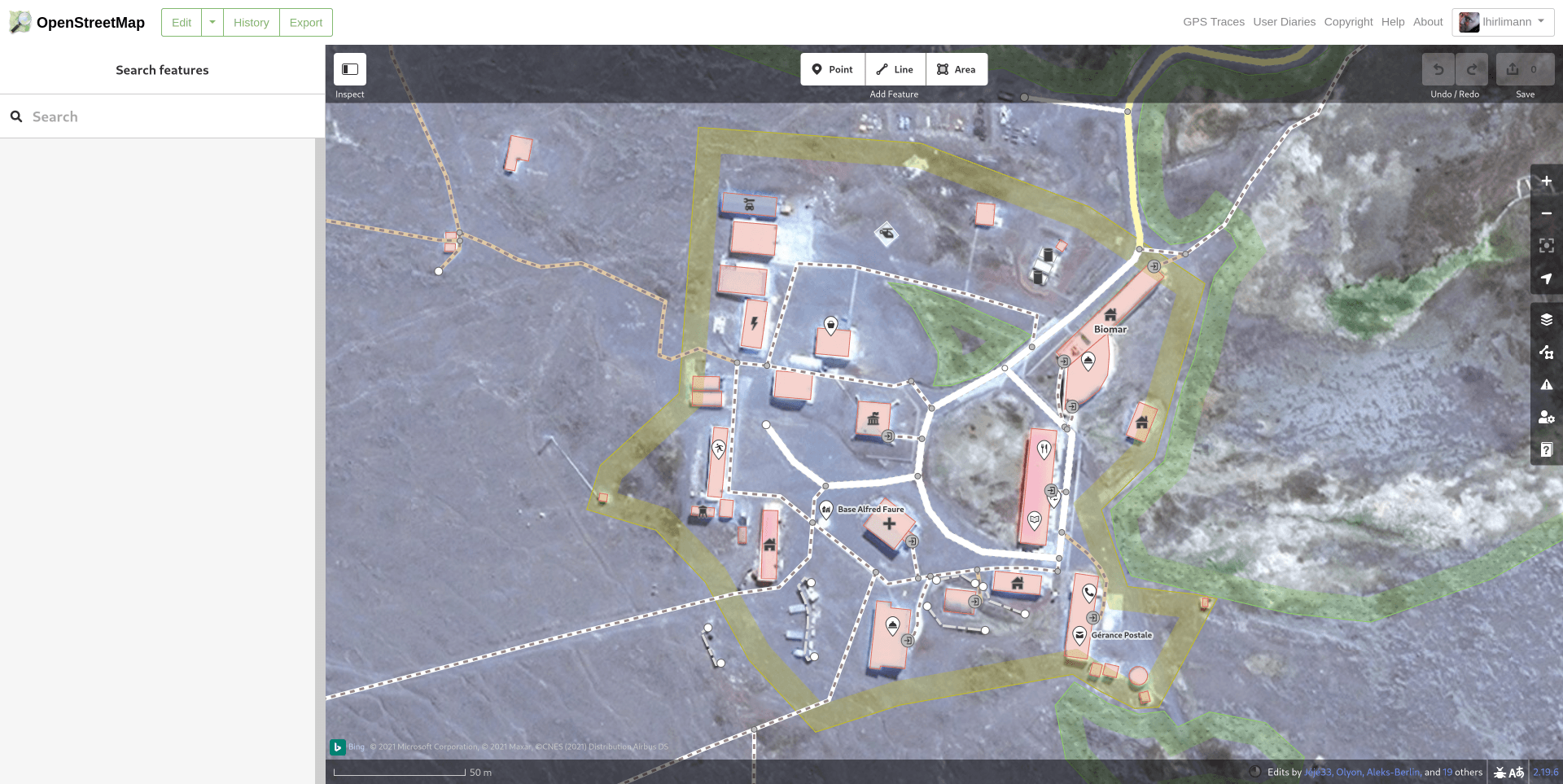
Aujourd’hui je regarde la carte et ho surprise :

Hello,
I want to show a map in an other program (3DVista) to show customers the position of the hotel. So I copy the HTML code and put it into this program. When I activate it and show it in the internet the map is to see but not the map marker. Is the problem known? Can I do anything?
best regards Andreas Moeller, Berlin, Germany
Posted by raphaelmirc on 4 June 2021 in Brazilian Portuguese (Português do Brasil).
Today I’m introducing this road mapping tool in Openstreetmap https://mapwith.ai/rapid#background=Maxar-Premium&disable_features=boundaries&map=16.20/-7.83211/-49.36525 where it makes mapping in Openstreetmap very easy.
The tool detects unmapped roads in Openstreetmap through artificial intelligence and makes life easier for the mapper,
More tools can be found on the site of UMBRAOSM - União dos Mapeadores Brasileiros do Openstreetmap.
Hoje venho apresentar essa ferramenta de mapeamento de estradas no Openstreetmap https://mapwith.ai/rapid#background=Maxar-Premium&disable_features=boundaries&map=16.20/-7.83211/-49.36525 onde facilita muito o mapeamento no Openstreetmap.
A ferramenta detecta estradas não mapeada no Openstreetmap atraves de inteligência artificial e facilita muito a vida do mapeador,
Mais ferramenta pode ser encontrada no site da UMBRAOSM - União dos Mapeadores Brasileiros do Openstreetmap. https://www.umbraosm.com.br/ferramentas-para-o-osm.html
Raphael de Assis
Recife/PE. - Brasil
A NEWLY DEVELOP SUBDIVISION
Posted by TjaboVierbuecher on 3 June 2021 in German (Deutsch).
Ja, es ist Jahr 2 mit Corona.
Bei uns ist aktuell wohl die britische Variante die verbreitetste, wobei – wenn es nach der WHO geht – ab sofort griechische Buchstaben die Varianten bezeichnen sollen.
Wo die doch jeder alle kennt – oder gibt es da mehr als 5 Buchstaben? Die Wikipedia nennt 24 “klassische” plus 7 “nicht-klassische” Buchstaben. Direkt mal endlich auswendig lernen.
Wie geht es dann wohl nach 33 Varianten weiter?
OSM? Achja, aktuell trendet die App “StreetComplete”. Diese zeigt dort, wo man gerade ist, Fragen zu unvollständigen Mappings. Etwa, wieviele Etagen ein Gebäude hat, welche Bürgersteige es gibt und ähnliches.
Ist eigentlich ganz spaßig.
Hello everyone, through this diary I would like to introduce myself to the broader OSM community and share plans regarding my GSoC project
About Me:
I am Zohaib Ansari, an undergraduate student in Electronics and communication from New Delhi, India
I spend my free time learning programming, working on my own small open source projects
I was introduced to OSM by a friend I play geoGuessr with, and coming across Vespucci made me interested in applying to OSM as the project idea seemed pretty interesting
Element history widget for Vespucci
During the GSoC coding period, I will work on creating the element history widget as a library for android apps, the element history widget will bring a feature similar to JOSM’s native element history comparison dialog to android (with certain platform limitations)
The Main features of this library would be:
- Display information about all the iterations an OSM element has gone through
- Selection of any 2 versions of the element from the history and allow comparison between them
- Displaying other information including coordinates, changesets etc
Apart from creating the library, I would also work on providing robust test cases for the library itself and for Vespucci after the library has been integrated with it.
I will keep a detailed account of my work in the github wiki of the project and will also keep this diary entry updated throughout my time working with Vespucci, please feel free to reach out if you have any questions regarding my work or anything else!
Link to detailed Roadmap and Progress for this project: Wiki
Introduction
Hi OSM community! My name is Vuong Ho, an international student at the University of Rochester in the U.S. I am currently living in Ho Chi Minh City, Vietnam, though, since due to Covid-19, I haven’t had the chance to go the States yet. In my free time, I like to tinker away with my small personal projects, play games with my friend, and watch cat videos on Youtube. Once this pandemic is over, I am thinking of going mapping around too!
Though I have never contributed to open-source, I really like the idea of openly sharing software for public use and would like to contribute to a project someday. Therefore, I am really glad to have the opportunity in this GSoC to contribute to OpenStreetMap!
My GSoC project: Opening hours tag evaluator
As noted by Simon Poole, the current opening hours parser lacks a complete evaluator for its input opening hours tag. This project will center around building an evaluator to determine if an input of date and time translates to a location is currently opened or closed based on an opening hours tag (specifications here). This evaluator will also support checking sunrise/sunset and holiday information, if any is provided in the opening hours tag, since these are supported by the parser.
The evaluator will be in the form of a data structure resembling a compact calendar, though this may change over the course of the project since I will be making use of the test-driven development framework to develop the evaluator. The information on sunrise/sunset and holidays is taken externally, using other open-source libraries and data. My full project proposal can be found here.
The milestones for my project in the span of two months of this year’s GSoC are:
- Creating a simple evaluator that supports checking open/close status of time and day
- Adding support for sunrise/sunset information
- Adding support for holidays information
Posted by bkil on 1 June 2021 in Hungarian (Magyar).

- A közvetítés a megszokottól eltérő helyen lesz! meet.jit.si/osm-hu
A fagyizáson személyesen felmért adatokat kombinálnánk a többi meglévő forrásunkkal és ez alapján pontosítanánk a helyszínt. További információk a Wiki oldalon olvashatók:


Hello everyone!
I will be sharing my GSoC’21 journey with OpenStreetMap through this diary. Feel free to ask me questions if you have any, I would be delighted to answer them!
Who am I?
I am Antonin Jolivat, a French student in an Engineering School which specializes in Computer Science.
Passionate about Software Engineering, I spend many time to discover new domains and create personal projects related to them. The rest of my time, I like to read about what others people do, entertain myself with various things and work out to stay in shape.
I came accross OpenStreetMap while working on a project involving maps and it stayed in my mind. I recently got involved a lot more as I have chosen OSM as my organization for the GSoC’21, and I am very happy to have made this choice! :)
My GSoC Project: QA Reports Extraction Tool for Nominatim
This project is mainly concerning Nominatim but it will help to increase overall OSM data quality.
Nominatim is the OSM’s main geocoding software used to process geocoding requests on OpenStreetMap data. The software uses its own database schema which differs from the one used by the main OSM database. As a result, Nominatim processes OSM data in a way that allows to discover a lot of inconsistencies. The idea of the project is to build a Quality Assurance Tool which will analyze the Nominatim database and extract errors from the OSM data.
Those errors would be made available to everyone through a map, so that OSM mappers will be able to correct them easily.
At the beggining, we plan to use Osmoscope to display the data errors through a map. This map may be available under https://nominatim.openstreetmap.org/osmoscope (/!\ subject to change)
In the future we could even imagine to share the data errors through other tools, like in the form of challenges suitable for https://maproulette.org/.
The main goals of the project are:

About Me
I am Yash Srivastava, an undergraduate student from the Indian Institute of Technology at Roorkee in Uttarakhand, India. I usually spend my time exploring different technologies and creating various projects.
Apart from development, I enjoy solving rubix’s cubes, reading books, watching anime. I also love adventure sports and travelling to different places.
Journey to OSM
I was working on creating a website for my college society where we needed to integrate a map to find the location of our college society.
At first, I tried with Google Maps integration, but the location was not found there and integrating it also required some API keys, which involved more work. Later while searching for alternatives, I found out about OpenStreetMap and how we can integrate it with our website and make changes to its database in a hassle-free way.
GSoC Project: Interface for reporting search bugs for Nominatim
The project proposal can be found here
Currently, there is no standard platform where users can report geocoding bugs or send feedback. Generally, if a user wants to give feedback or report a bug, one has to have a GitHub account and then create an issue that is not feasible. Thus we aim to create an Interface for reporting search bugs for Nominatim.
It will have the following project goals:
-
The interface will be mobile-friendly.
-
The backend will store log files for the reported bugs.
-
Test suit will be created and iterated parallel to both frontend and backend.
Since this year GSoC has a shorter period thus we will have the following stretch goals:
-
We will be adding a python script that will export log files to a CSV format that can be processed through Geocode-Tester to recheck the reported bugs.
-
Dockerizing the whole application for the portability of code.
-
Creating a Continous Integration pipeline using GitHub-Actions.
-
Adding internationalization support.