
Tried to produce map files for apps like Orux/Locus and such using the mapwriter plugin using an i3 and SSD disk.
Managed to get to zoom 4 before getting yeeted with thread error (or something) after 63 minutes of processing. Ughhh…
 OpenStreetMap
Tried to produce map files for apps like Orux/Locus and such using the mapwriter plugin using an i3 and SSD disk.
Managed to get to zoom 4 before getting yeeted with thread error (or something) after 63 minutes of processing. Ughhh…
Részleteket lásd:
https://wiki.osm.org/wiki/Hungary/20210818
Javasoljuk, hogy aki jelentkezik erre az eseményre, lépjen be az OpenStreetMap-Hungary GetTogether csoportba és állítson be email címet, hogy értesüljön a jövőbeli eseményekről is.

With my dear love, Tanya Unger
the idea is to map waste as it transits from source to environment, and work to apply data and public awareness to reverse that trend.
ทั่วไป หนึ่งสามารถอัพเกรดใบอนุญาต? ปัญหานี้เกี่ยวข้องกับ ODbL เท่านั้น (สำหรับสิทธิ์ใช้งานอื่นๆ ทั้งหมด ไม่มีอะไรให้ ‘อัปเกรด’) สำหรับ ODbL คำตอบคือใช่ - อยู่ภายใต้ข้อแม้บางประการ คล้ายกับใบอนุญาตที่เหมือนกันของครีเอทีฟคอมมอนส์ ODbL มีประโยคที่อนุญาตให้งานลอกเลียนแบบได้รับอนุญาตภายใต้ a) ว่า ODbL เวอร์ชัน b) ODbL เวอร์ชันที่ใหม่กว่า c) ใบอนุญาตที่เข้ากันได้ (ใบอนุญาตที่เข้ากันได้จะเช่น ต้องมีข้อกำหนดการแบ่งปันที่คล้ายกันหากจะเข้ากันได้) ความตั้งใจที่นี่คือการให้ความยืดหยุ่นแก่ผู้ที่ผลิตผลงานลอกเลียนแบบในอนาคต ในขณะเดียวกันก็ดูแลให้องค์ประกอบหลักของข้อกำหนดที่เหมือนกันทุกประการได้รับการอนุรักษ์ไว้
ทำไมคุณถึงแยกความแตกต่างระหว่าง “ฐานข้อมูล” และ “เนื้อหา” คำตอบที่ง่ายที่สุดคือเพราะพวกเขาอาจมีสิทธิแยกต่างหาก ตัวอย่างเช่น พิจารณาฐานข้อมูลของภาพถ่าย ที่นี่มีสิทธิในฐานข้อมูลและค่อนข้างแยกลิขสิทธิ์แต่ละภาพในภาพถ่าย หรือพิจารณาตัวอย่างของ Freebase ซึ่งมีเนื้อหาที่เป็นข้อความและรูปภาพจาก Wikipedia รวมถึงเนื้อหาที่ผู้ใช้มีส่วนร่วม แม้ว่า Freebase จะควบคุมฐานข้อมูล แต่เนื้อหาแต่ละรายการจะต้องมีใบอนุญาตแยกต่างหาก
แน่นอนว่าบ่อยครั้งที่ผู้อนุญาตของฐานข้อมูลอยู่ในฐานะที่จะอนุญาตสิทธิ์ (ถ้ามี) ในเนื้อหา — ตัวอย่างคลาสสิกจะเป็นฐานข้อมูลที่มีข้อมูลที่เป็นข้อเท็จจริง ด้วยเหตุนี้ เราจึงได้สร้างใบอนุญาตเนื้อหาฐานข้อมูลอย่างง่าย ซึ่งคุณสามารถใช้ร่วมกับ ODbL เพื่อให้แน่ใจว่าคุณได้รับสิทธิ์ใช้งานทุกอย่าง
สรุป:
我首先在使用该网站地图数据的游戏中发现了路网不全的情况(三线小城市),当我来到这里编辑地图时发现这些卫星图像已经非常过时了,有很多新建的道路和建筑物没有在供参考的卫星图中被更新。好气哦QAQ
In this blog post we want to count addr:housenumber nodes across all EU member states, broken down by country. That’s a bit above 34 million nodes in total.
Queries are tested on different Overpass instances: two rather busy public ones, one idle private instance and a dev instance. With the exception of the latter, queries run on offical Overpass releases. Database contains a full planet (including metadata and history).
Query: https://overpass-turbo.eu/s/1adO
[out:csv(name, count)];
rel(2668952);rel(r);
map_to_area -> .areas;
foreach.areas->.area (
  node["addr:housenumber"](area.area);
  make data count = count(nodes),
            name = area.set(t["name"]);
  out;
);
Result: https://gist.github.com/mmd-osm/5219028c9fa93db17ac7c271a99183a1
Runtimes
kumi.systems:     gateway timeout after 1h
overpass-api.de:  gateway timeout after 2h
private server:   timeout after >2h
dev branch:       30s
NB: dev branch is exploring alternative implementation options and is currently not released.
Well, today I checked in my first JOSM edits.
First was a boo boo. I cheated and used iD to revert… hah.
Second was what I intended as the first checkin - found out that iD was deliberately nerfed to not allow the edit I wanted to do. Still haven’t figured out the best way but oh boy, JOSM was much easier to move a node 10 miles away. Did a few in iD and that was really no fun.
Then a few more edits in JOSM… just to not get annoyed when iD nags “You didn’t fix the warning I flagged.”
“But I didn’t make the warning… and I don’t know enough to actually fix the warning!”
grumble grumble…
I was doing some HOT mapping on an old project in Nigeria recently and noticed that depending on how I access the project, I get different versions of the Bing imagery.
If I use the HOT tasking manager (either using iD or JOSM) or direct JOSM download as a starting point I get a lower resolution image that is clearly a different vintage than if I open it direct from the OSM page through the iD editor.
I can’t tell which is more recent as buildings appear and disappear in Nigeria so no telling without some local knowledge.
Someone suggested that it’s likely due to accessing different API endpoints (which I don’t quite know what this means).
Time for some more investigating. I’d love to be able to use both sets of images. Maybe I’ll post on why I want to do that as a separate entry when I get a free moment.
Here’s how to check cycling mapping mistakes and fixme’s in your area:
This way I could see a few fixme’s in my area, plan a route with OsmAnd application, observe and make necessary updates to the map in Oulu area.
And on my way yesterday I was able to visit the new separated cycleway opened the same day. Really liked to ride it. Have a look from our Baana Engineer’s twitter video.
Happy cycling, everyone!
Juhani
This event was an interaction with local youth contributors of various universities and organizations. Along with a three-day long Mapathon was held in this program.
Dom
I have just updated some structures( as-builts) around National Capital District in Port Moresby in PNG. After seeing some street having awkward shapes(partially incomplete), I have deleted these and updated with correct tags. Most of the roads did not have correct tags( as most roads in PNG residential and rural areas have 6.0 m width as approved by Department of Works-PNG). I even updated the road surface based on the type of material the roads are built with( mostly asphalt, gravel and dirt/grass). Most Building do have Heights/Levels and using correct level tags, those Buildings not having the correct heights/Levels have been re-edited with correct tags. When also checking on Power transmission Pylons, the average Height is 30.0m, I have re-edited the pylon height again by setting the correct height. The type of landcover( whether grass, forest, concrete asphalt etc.) has also been updated of some streets that I was rechecking/verifying around National Capital District(NCD).
Thanks to the use of F4map.com, I was able to see the update in 3D after the edits were made 48Hrs later. Please do use correct tags in OSM to improve OSM maps.
Once again, thankyou and happy mapping to you all Mappers.
the person writing this piece of diary is by now a middle aged man, in his 50s, still passionate about all that he does, or he simply won’t do it. for reasons which might be clear to a psychologist, but not to a mathematician like the person in question, he assumes the same passion and intellectual correctness in his colleagues, even in the face of proof to the contrary.
since 1989 he left his home town, never settled for longer than 8 years, now since October 2016 living in Panamá, speaking the language as any native latin speaker, that is with a decent linguistic awareness, and with an accent making him sound a mix of French, Colombian and obviously Southern Italian. but language is not the whole story, and regardless his “permanent resident” status, he doubts how not to feel as an alien here in Panamá.
I’ll now switch to writing in first person.
when it had become clear I would stay here for a longer spell, that was around the end of 2018, I looked for ways to collect people around the common OSM interest, I found the very sleepy Panama forum and I founded a Telegram group, and started monitoring new mappers coming to contribute to the map, inviting them to come to the group, and form a local community.
My company Victory Ebikes is at
3136 W Balboa Blvd, in Newport Beach California and it was a Super cuts
How do I get that changed?
My Homes
mod_tile, consisting of libapache2-mod-tile and renderd, to instruct Mapnik to generate raster tile images and deliver them via a web server has reached version 0.6 through a broad and constructive collaboration among Free and Open Source Software contributors. And the installation packages have recently become part of Debian and Ubuntu.
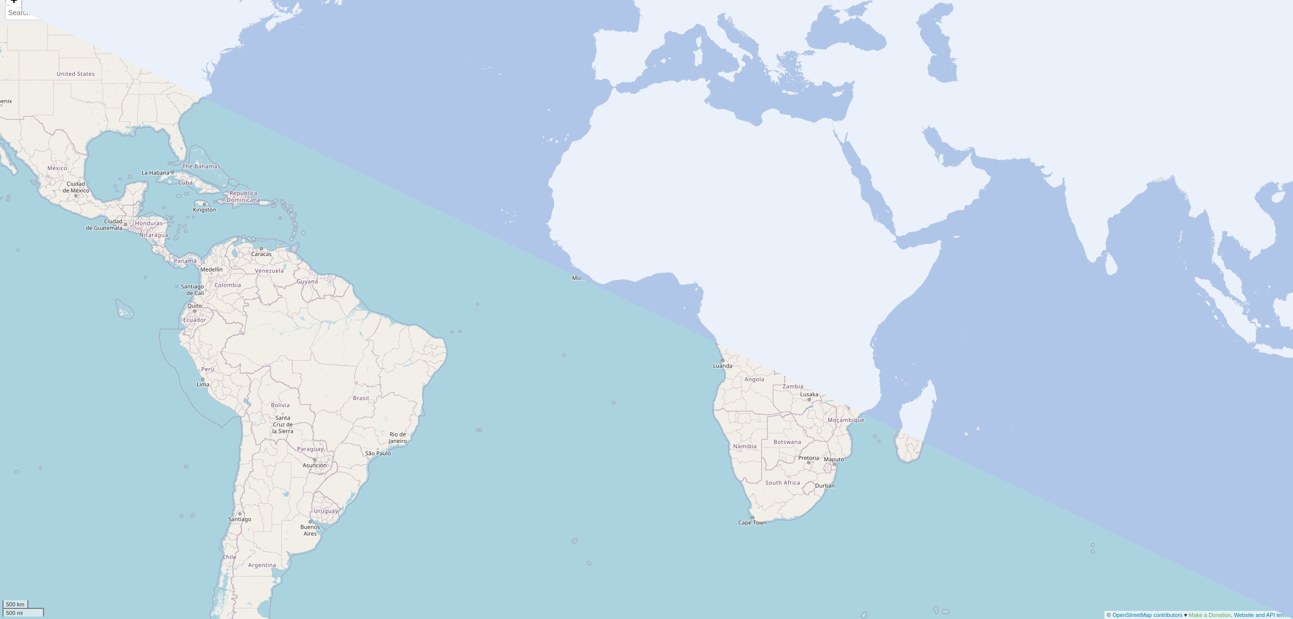
OpenStreetMap.org and many other web map tile servers are using mod_tile with Mapnik to generate and render raster tile images and with Apache2 to make them availabe serving on a webserver. For example for providing a slippy map on the web.
mod_tile has been been actively implemented between 2008 and 2014 by a core group of contributors. The last release was nine years ago when I assumed responsibility for maintenance, at the same there were also many good code suggestions waiting in the pipeline as pull requests on Github.
Vorige week begonnen met OSM. Ik werk aan een roadsafety project en daarvoor heb ik informatie nodig over de weg infrastructuur de snelheid, verkeersdrempels. Dan kan ik kaartjes maken met QGIS en analyses doen met Python
Запись
This is to extend my sincere gratitude an endless favorite thanks to project which was designed to fight against Gender based violence in Bushenyi district that is run by Nuwashaba Dativer and the team,it is our pleasure as the volunteers under center for life change and development to see community members living in a harmonious way.
test bereit zum kkkkkkk


.jpg)


