OpenStreetMap

Waymarked Trails is the map for all things route - hiking, cycling, skating and horse riding. It has been a long standing wish of many users to have hillshading and contours on the map. So last week the site has received a new feature that allows you to choose a different base map. The first addition to the available base layers is OpenTopoMap, a beautiful map crafted in spirit of German topological maps. To try it out, go to the settings menu (the little cockwheel on the bottom of the page) and choose the new base map from the drop down menu.
Many thanks to the friendly folks from OpenTopoMap for all their work creating the map and for allowing Waymarked Trails to offer it as a base layer.


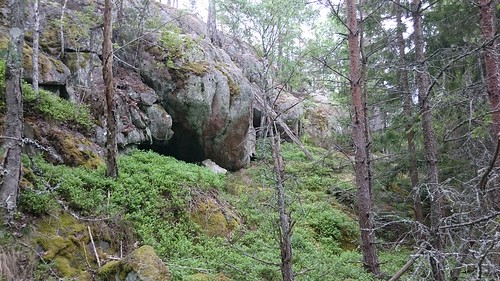

 Munnar Hill Station (Photo credits: Ashley Ann Mathew 🙂)
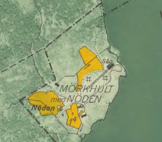
 available at [UMAP] (