 OpenStreetMap

How hard can it be to map a cycle route in Christchurch? I hit the “Edit” button on Open Street Map to find out.
The Christchurch City Council (CCC) is developing a programme of 13 major cycle routes to connect suburbs to the central city. “Papanui Parallel / Puari ki Papanui: This cycleway will connect Northlands and the Northern Line Cycleway to the Central City”. The CCC website has a page on the Papanui Parallel with detailed plans of the approved scheme design for every section of the route. ( https://www.ccc.govt.nz/transport/cycling/major-cycle-routes/cycle-routes/papanui-parallel/ )
Only a small stub of the Papanui Parallel was visible on the osm cycling basemap on the north side of the intersection of Colombo Street and Bealey Avenue. Construction of the Papanui Parallel is nearly finished so it seemed appropriate to update.
My first step was to address the route as a relation. I used the Little River Rail Trail as a guide, as the Little River Link Trail is an official project referenced by both the New Zealand Transport Agency (NZTA) and CCC. The Little River Rail Trail is tagged as “rcn”; the Coastal Pathway, by way of contrast, is tagged as “lcn” even though the link to CCC cycle projects is unclear; so I tagged the Papanui Parallel as “rcn” - a regional cycle network. Someone seems to have set up a CCC custom tag, so I also tagged the Papanui Parallel as “ccc=cyclingroute”.
Starting at the southern end of the Papanui Parallel, Sheet 17 of the plans seemed fairly straight forward. “Bike Lanes” on the left and right side were clearly “tracks” as being “separated from the road by curbs, parking lots, grass verges, trees or another physical barrier, but is running parallel and next to the road”. ( osm.wiki/Key:cycleway )


 Photo taken from


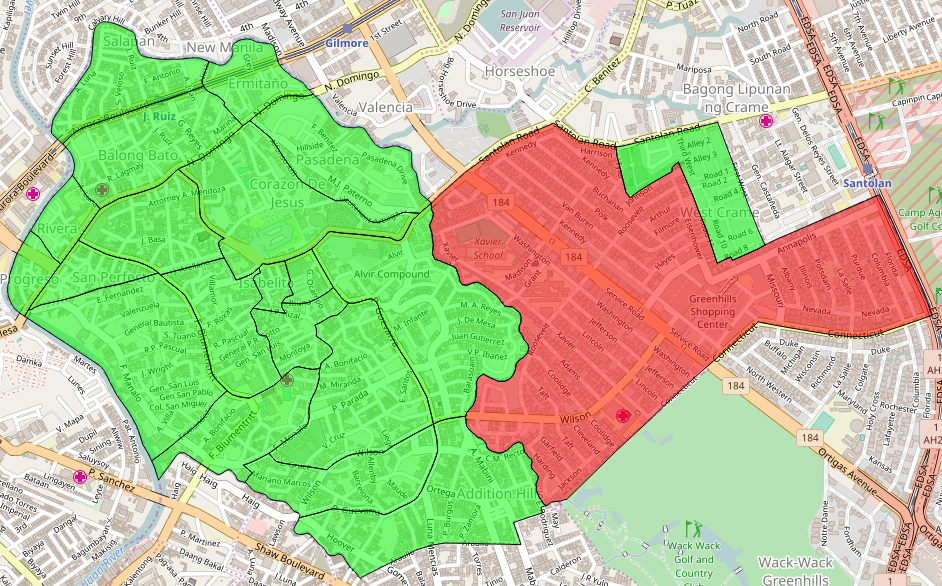 > Shown here are the 21 barangays of the city, using the MapCraft tasking manager
>Data © OpenStreetMap contributors (ODbL); Image © MapCraft
> Shown here are the 21 barangays of the city, using the MapCraft tasking manager
>Data © OpenStreetMap contributors (ODbL); Image © MapCraft


