
Hiking has become a popular choice for many outdoor enthusiasts. Especially since the spread of COVID in the early 2020s, hiking has gained widespread popularity. Even people who previously rarely or never went hiking began to see it as a healthy and enjoyable activity during the pandemic.
In response to this continuing trend, an idea emerged: what if we at Kaart invited the OSM contributor community in Bandung to hold a joint activity? Besides serving as a recreational gathering, the event could also become an opportunity to learn about the tagging system related to hiking trails. We first shared this idea in a limited group in Bandung, but it was enthusiastically welcomed by two YouthMappersgroups: UPI YouthMappers and UNJ YouthMappers. Despite the long distance from Jakarta, UNJ YouthMappers showed particularly strong enthusiasm.
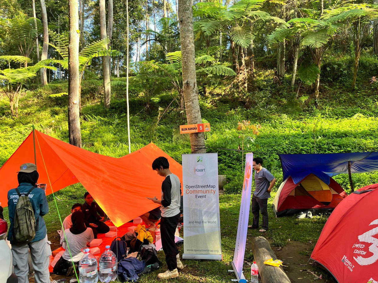
The UNJ and UPI YouthMappers community event was successfully organized and ran very well. The program took place smoothly in a series of activities beginning with the arrival of participants from Jakarta on the evening of April 17 and ending with everyone’s departure on the morning of April 19. The number of participants nearly reached the expected target. A total of 17 participants attended, consisting of 2 representatives from Kaart, 10 members from UNJ YouthMappers, and 5 members from UPI YouthMappers.
.jpg)
The event began with tent setup on Friday night, April 17. Participants from UNJ arrived at 8:30 PM.
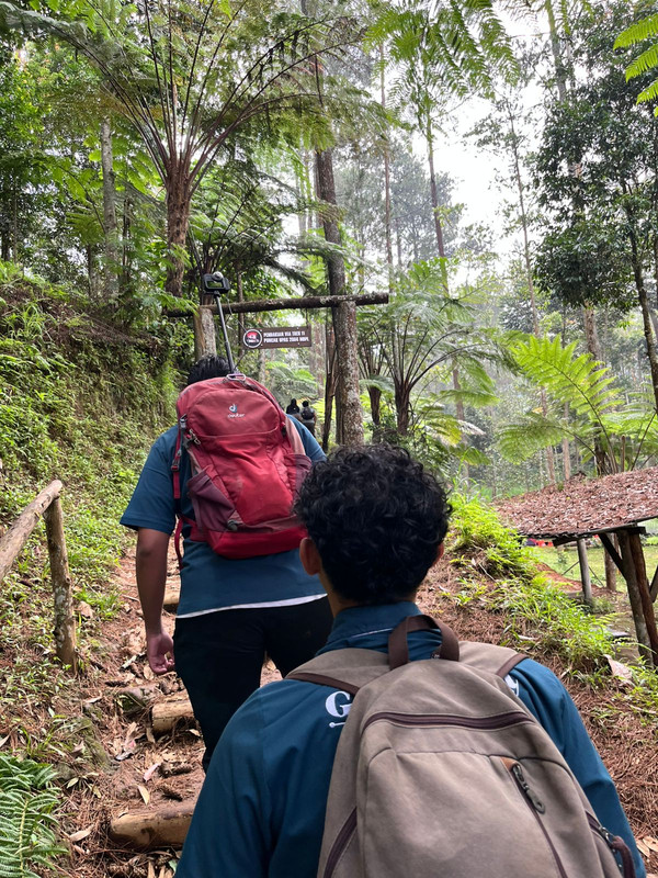
The main activities started on Saturday morning with a review session on hiking trail mapping, followed by an introduction to data collection techniques using a 360 camera (GoPro Max). Out of the 17 participants, 15 joined the hike to Puncak Upas (Upas Hill). One participant decided not to complete the trekking route due to physical condition, while another participant who arrived late immediately followed the group to Puncak Upas.
The hike started at 9:00 AM, and the team successfully reached the end of the trail at 11:00 AM. All participants safely returned to the camping ground by 1:00 PM. The journey and the Mapillary data collection process using the GoPro Max were successfully completed before rain began pouring over the campsite. The rain caused some limitations for the event because the available gathering space was quite small; however, informal discussions and social interactions among participants continued well.
.jpg)
The evening activities were enlivened by a campfire and barbeque.
On Sunday, April 19, the series of activities concluded with breakfast together. Some members of the UNJ team returned home by car, while the others traveled by train.
Despite being affected by the weather, most of the activities were carried out successfully. The Mapillary data collected during the event has been uploaded under the account “YouthMappersUNJ” (sample images can be found online at https://www.mapillary.com/app/user/YouthMappersUNJ?lat=-6.7789023&lng=107.5871204&z=17&pKey=2702344303467760&focus=photo )
Discussion