aceman444's Comments
| Post | When | Comment |
|---|---|---|
| Greenery in sidlisko areas in Bratislava | Yes, these are less common in Karlova Ves and Petrzalka, but we may cover the city center too where these types of greenery are cropping up. Also in new apartment projects, like Slnecnice, Petrzalka. |
|
| Greenery in sidlisko areas in Bratislava |
Yes, the problem with 4. appears when those are no clear flowers, but some very small shrubs (at least they look like that), maybe 20-30 cm tall. We can probably agree https://www.familyhandyman.com/wp-content/uploads/2021/07/shrubs-GettyImages-1148591849.jpg is natural=shrubbery. But if it is very small, I am not sure. What about https://www.grafgrowers.com/wp-content/uploads/2025/03/Smith-Landscape-5-1024x678.jpg ? |
|
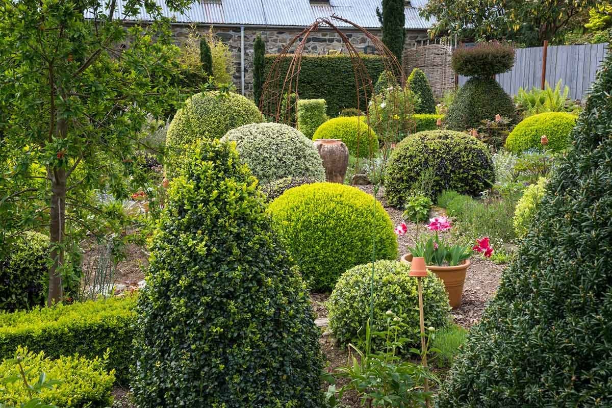
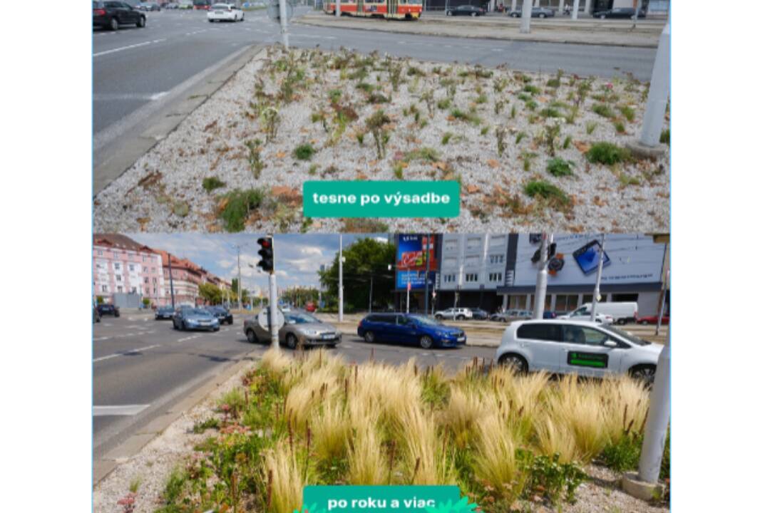
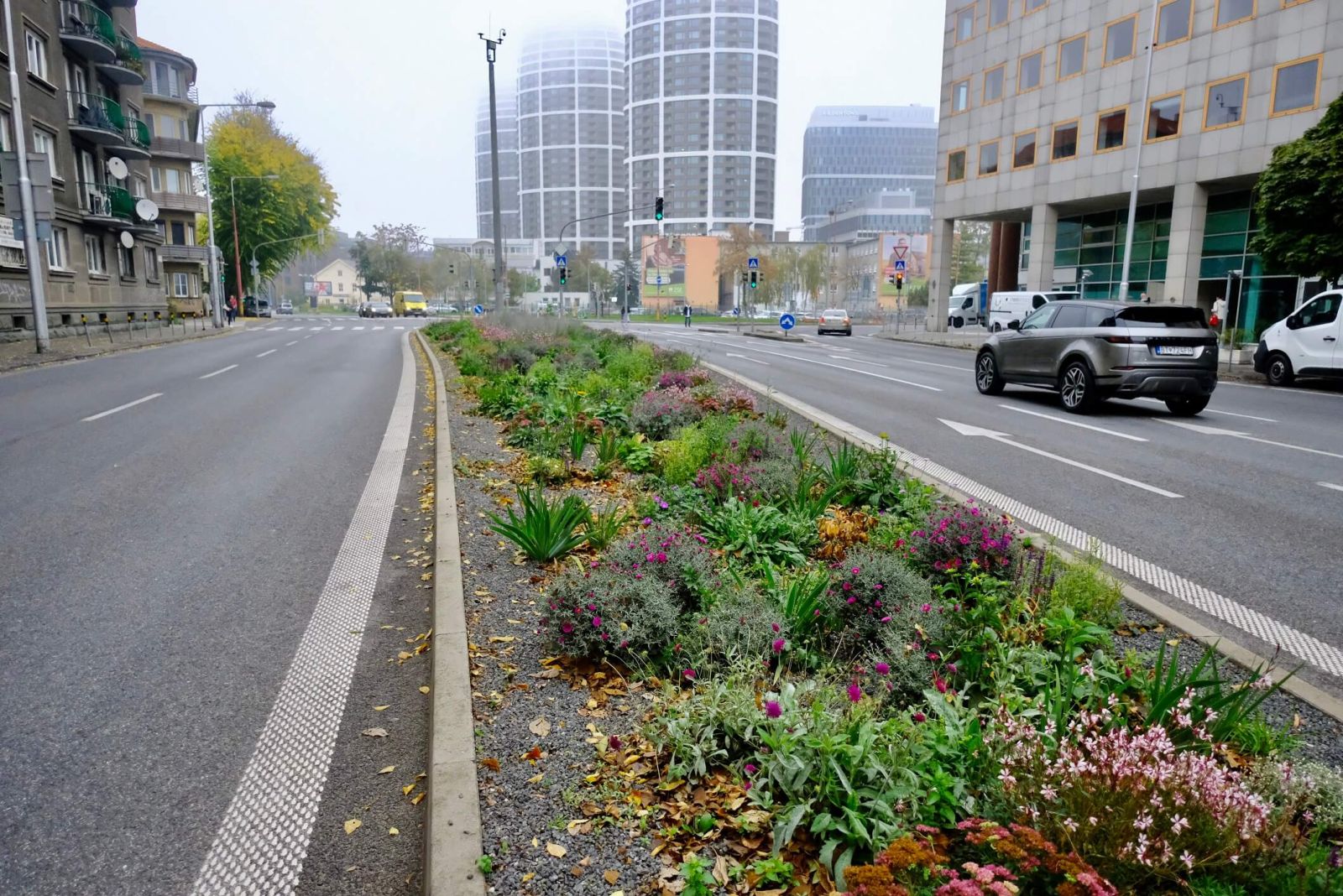
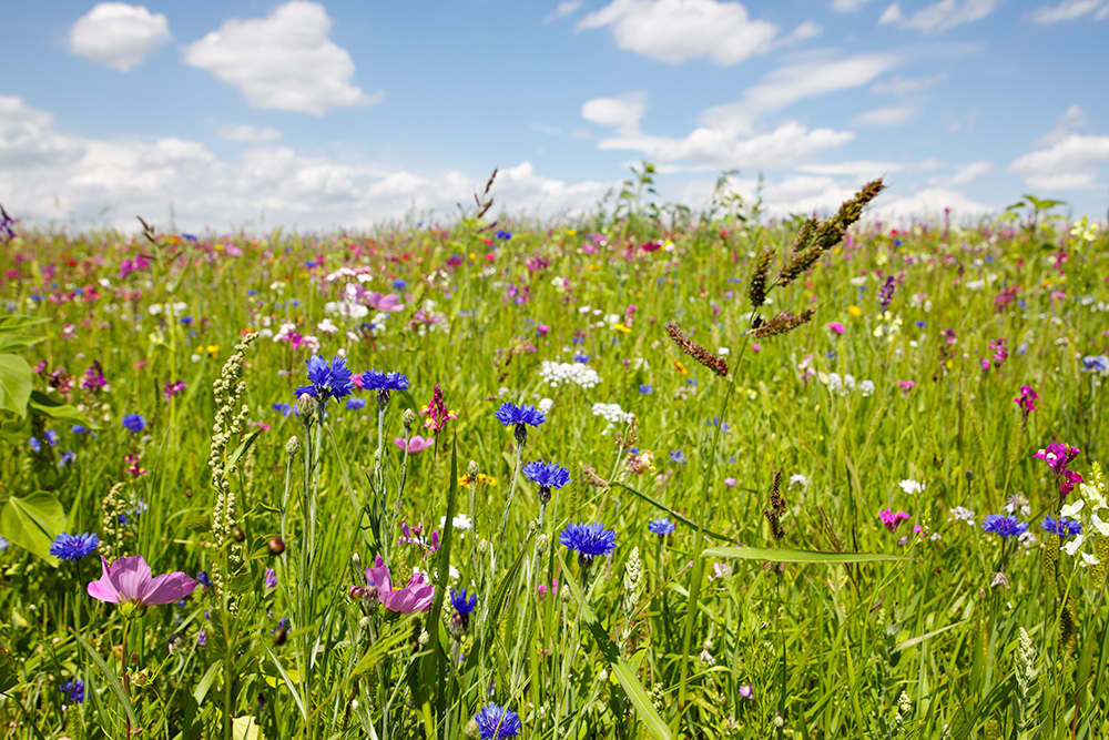
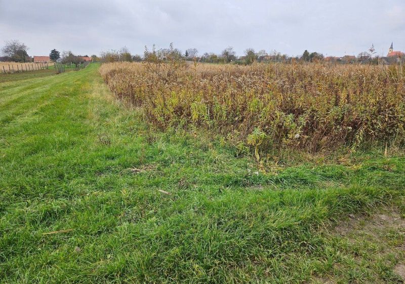
| Greenery in sidlisko areas in Bratislava | Before we start micromapping the patches of various types of plants in these greenery areas, we should first make sure to be clear about some of the more problematic plant types. So we have: landuse=grass - managed/mown grass: osm.wiki/File:Traffic_Island,Coulby_Newham-geograph.org.uk-_91699.jpg natural=tree_group - a few trees that cannot be distingushed individually, but that may have managed grass/surface beneath them: https://pixabay.com/photos/trees-tree-group-meadow-nature-795138/ natural=wood/landuse=forest - big group of trees/forest with unmanaged surface on the ground: https://preview.redd.it/a-group-of-trees-called-a-forest-v0-5npxf5nvqt941.jpg?auto=webp&s=58778b43ecaea91f3710d7311a0f368ef62bb753 Now, what exactly can we consider flowerbed, shrubbery, grassland, heath? I always assumed natural=grassland is some large wild grass like savanna in Africa, or puszta in Hungary. But people use it for random patches of widl grass at road side in Slovakia. Similarly, natural=heath is said to be some small woody scrubland, but that is sometimes hard to distinguish even if you are at the place (see e.g. image 6 below). Which tag are these areas? 1. https://www.bratislavak.sk/assets/images/ba/articles/img-1/1724735929-foto-bratislava-sa-pochvalila-zelenymi-ostrovcekmi-treba-sa-o-ne-aj-starat-a-kosit-ich-odkazuju-vallovi-obyvatelia.jpg 2. https://cloudia.banoviny.sk/rx640/4d1d1506-1ca6-44b3-b4d4-ffa5c0054ce5 3. https://www.yimba.sk/upload/Verejn%C3%BD%20priestor/Bratislava%20-%20kl%C3%ADma/priklad_vegetacneho_ostrovceka_na_dostojevskeho_rade._foto_velcek.jpg 4. https://cloudia.banoviny.sk/rx640/81a7009f-f2a4-46fc-92ab-fb9270ec36c5 5. https://www.zahrada.sk/wp-content/uploads/2017/06/00_ThinkstockPhotos-167494748.jpg 6. https://www.zoznamrealit.sk/fotky/800x600x2/202/1008341_c0aad2bd894bcdb4a97ac58e1cc1da4f.jpg |
|
| Greenery in sidlisko areas in Bratislava | It seems people now commontly enough map any random tree so that is noted on the wiki too osm.wiki/Tag:natural%3Dtree#Evolution_of_use :) Yes, when the individual trees cannot be distinguished from imagery then I would use tree_group. |
|
| Greenery in sidlisko areas in Bratislava | Hi. Thanks for bringing this up. I support the idea. It is a complicated problem. These same green areas appear in Bratislava-Petrzalka and need the same solution. First, mapping these areas as leisure=park seems technically correct according to the wiki, they have managed grass, managed trees, footways, benches, playgrounds. They are used for recreation/leisure activities. So if they are somehow different, from other parks in the city, it may be only in that the city authorities and people do not call them parks. Also it is a good hint that they are only used by the local residents of neighbouring apartment houses. That could be a distinction we could settle on. We can also tag all these natural areas (grass, treegroups, shrubs) in areas that are encompased with a leisure=park tag, for areas, that you consider real parks. I was using natural=wood for groups of trees, but natural=tree_groups seems to be good idea. The wiki implies we should not tag all random individual trees as natural=tree (even though some people do it, see e.g. Slnecnice in Petrzalka), only the important or major or notable ones. So tree_group would solve this too. We can make the distinction: natural=tree_group - a few trees where there is underlying grassbed (managed). natural=wood - trees where the soil under the trees is not managed (there are many forest or patches of forest in Karlova Ves or Petrzalka that would meet this too). landuse=forest is the same, but it also sets the landuse (while between the houses that we talk here the landuse is still ‘residential’, it just has some trees on it). Then, tree_group could overlap grass areas and not be cut out of it (via multipolygons and such). As for why landuse=grass may be controversial on the wiki, it may be because it indicates the land use. That part of land is destined to be only covered by grass (e.g. because it delineates a major road) and will never be covered by houses. On the other hand, the ‘parks’ we talk here are in the middle of landuse=residential (which is correct, anytime a new house can be built there), there just happens to be some grass grown right now. So landuse=grass stacked on landuse=residential is problematic, if we consider data purity, that landuses (or any other same main keys), should not overlap. But there is no better tag for now. It should be natural=grass, or landcover=grass, but it seems those aren’t very supported. In some towns people use landuse=village_green for any random green area similar to what we talk here, and that is wrong too. I also assume you don’t want to use osm.wiki/Tag:landuse%3Dgreenery as that is too generic, when we can clearly distinguish grass, trees, shrubs,flowerbeds from imagery and map them accordingly. |
|
| Improving the OSM map - Why don't we? [3] | If it is a triangular point, then it is man_made=survey_point. And the number should be put into “ref”, not into “man_made”. |