 OpenStreetMap

Hello I’m a former Marine and an American who still believes in The Constitution and the words written in it!!! Stand up!!! Stand together!!
Users' Diaries
Recent diary entries
Posted by raphaelmirc on 14 July 2026 in Portuguese (Português).

🚀 Conheça a nova plataforma MAPAFEST! 🗺️
Discover the new MAPAFEST platform!

🚀 Conheça a nova plataforma MAPAFEST! 🗺️
O MAPAFEST é uma plataforma de gincanas e torneios de mapeamento colaborativo utilizando o OpenStreetMap (OSM). Agora com uma interface totalmente renovada e novos recursos para a comunidade!
✅ O que você encontra no MAPAFEST
🔐 Login integrado com sua conta do OpenStreetMap
🏆 Criação de gincanas e torneios
👥 Competições entre participantes e equipes
📊 Ranking em tempo real para acompanhar sua pontuação
🗺️ Lista de tarefas para mapear diretamente no OpenStreetMap
🌎 Contribua para melhorar os mapas livres do Brasil e do mundo enquanto participa de desafios e evolui no ranking.
🔗 Acesse agora
🌍 Plataforma: https://mapafest.mapaslivre.com.br/
📚 Documentação: https://mapafest.mapaslivre.com.br/v.1/doc/
Posted by Raquel Dezidério Souto on 14 July 2026 in English.

IVIDES DATA™ hosts the fifth session of 2026 OSM Workshop and launches an ebook on creating web maps with uMap
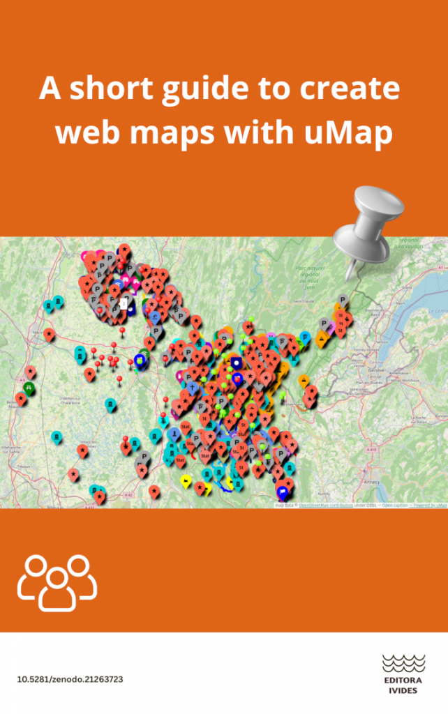 Front cover of the ebook A short guide to create web maps with uMap. Source of image and map data (c) 2026 OpenStreetMap contributors, uMap, and authors.
PREVIEW OR DOWNLOAD EBOOK (7.8 MB)
The preview and download may take a few seconds. Be patient, please.
Resources for creating web maps with uMap were presented during the fifth session (in portuguese): project creation and configuration, creation of static and dynamic layers, label customization, clustering and heatmaps. This event is part of the 2026 OSM Workshop Series (translation), organized by IVIDES DATA™ in partnership with the Institute of Geosciences at State University of Campinas - Unicamp (São Paulo, Brazil).
The files used in the fifth session can be found in the VIDEO DESCRIPTION
All content is available on the LEARNING PORTAL.
Posted by Raquel Dezidério Souto on 14 July 2026 in Portuguese (Português).
IVIDES DATA® realiza a quinta sessão do Ciclo de Oficinas OSM 2026 e lança e-book sobre a criação de mapas na Web com uMap
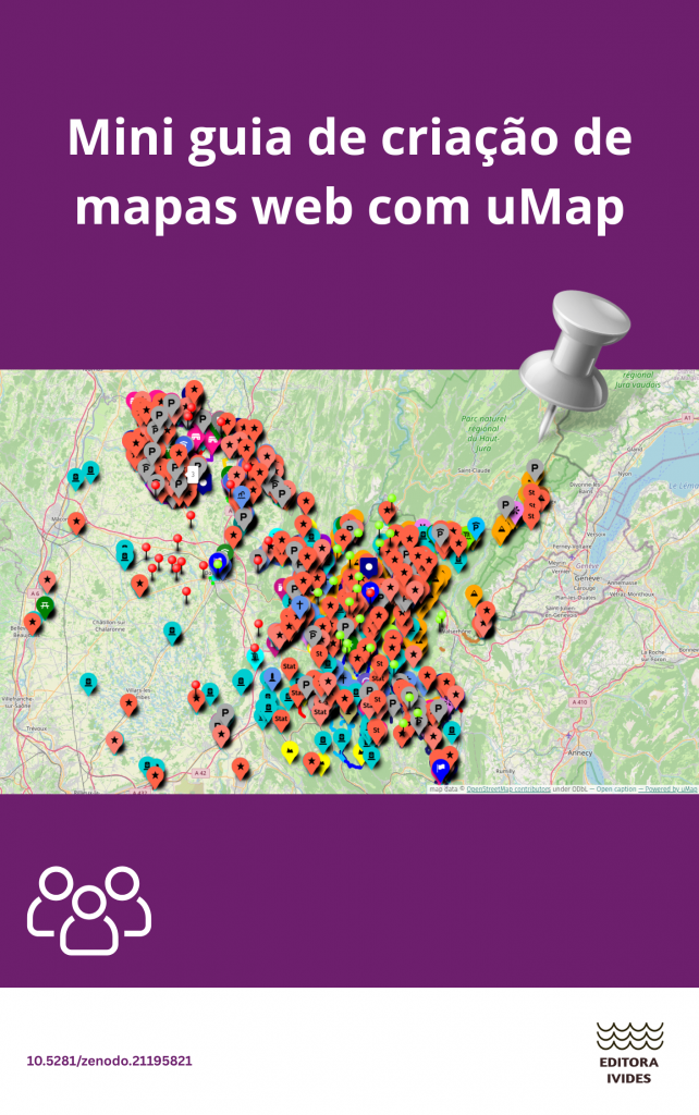 Capa do e-book Mini guia de criação de mapas web com uMap. Fonte da imagem e dos dados do mapa: colaboradores do OpenStreetMap, uMap e autores.
VISUALIZAR OU REALIZAR O DOWNLOAD DO E-BOOK (7,8 MB)
A pré-visualização e o download podem demorar alguns segundos. Por favor, seja paciente.
Durante a quinta sessão, foram apresentados os principais recursos para a criação de mapas web com uMap: criação e configuração de projetos, criação de camadas estáticas e dinâmicas, personalização de rótulos, agrupamento (clustering) e mapas de calor (heatmaps). Este evento faz parte do Ciclo de Oficinas OSM 2026, organizado pela IVIDES DATA®, em parceria com o Instituto de Geociências da Universidade Estadual de Campinas - Unicamp (São Paulo, Brasil).
Os arquivos utilizados na quinta sessão podem ser encontrados na DESCRIÇÃO DO VÍDEO

It is a very rare moment, when somebody made a new JOSM tool, that must become one of main tools in you palette, like Building Tools or RelToolBox.
Meet Fillet Tools plugin. It will completely replace Fastdraw and partially replace Improve Way.
Silent let’s play demonstration on youtube: https://www.youtube.com/watch?v=agyY25jVeGM
Some important notes for newcomers of this tool:
1) Main buttons for this plugin: Shift-Enter-Alt.
-
Enter = finalize drawing (press it instead of last click if you connect end of line to the other way).
-
Shift + mouse roller = undo/redo drawed points
-
Alt = disable way justification mode. (!)
2) Do not make self overlapping of drawed line. If you press Enter during drawed line overlapping - drawed line totally dissappears instead become new way object on the map. This dissappearing may cause big done work loosing. (!) If you made overlapping, unroll it back using Shift + mouse roller. Overlapped line is gray, not overlapped line is red.
3) If you start and finish new line on the other existing way, FilletTools works in “Part of way redraw mode” (existing lines justification mode). In this mode on pressing Enter all existing way part between start and finish points will be deleted and changed by new drawed line. To skip this mode (for example if you add new multipolygone to the existing one, like scrub to forest), you must press Alt button once at any time during drawing new line. (!)
4) Using mouse roller without pressing Shift zooms your map view. Also, during new line drawing anytime you can use “Download map data in current view” button, so you can draw this line even outside of downloaded area.

An inadvertent typo recently led me to a slightly alarming discovery. Omitting the “r” from www.openstreetmap.org took me to a website that definitely wasn’t OSM, and prompted me to download something quite suspicious-looking. Thankfully I have my browser set to “paranoid” mode so things went no further, but it still felt like a near miss.
Apologies if I’m re-alerting folks to a known issue (a perfunctory web search didn’t turn up anyone else flagging this), and I’m not expert enough to know if there’s any legal and effective way to stop the impostor, but hopefully this is at least a helpful reminder to type carefully and trust your gut if anything smells phishy :)
Posted by Alshowaiey on 12 July 2026 in English.

Hello OSM community!
I’m excited to share a project I’ve been working on to map, analyze, and improve the data quality of places of worship across Saudi Arabia.
The website is live here: Saudi Places of Worship Map

One hot July evening ten years ago, I found my way to a bar somewhere near the Barbican in London and descended down the stairs into the basement space for the MapSwipe launch party. At the door I was handed my name sticker and asked to fill in the number of square kilometres I had already swiped on the app. I duly filled in my 597 sq km and joined the party.

MapSwipe is an open-source mobile app where you swipe through satellite imagery and help identify features. The app was created as part of the Missing Maps project to help solve a problem we had in the early days. Mappers like myself would be asked to map an area to help a humanitarian project but we would open task after task with very little in it to actually map. So, the simple, but genius, idea behind MapSwipe is what if volunteers could do a first pass through the area and pick out the features that need to be mapped; then this smaller area could be presented to mappers to trace the data and add it to OpenStreetMap.

Midterm is here, so this is a proper writeup of what’s landed so far, how the pieces fit together, and what the second half looks like. If you just want the code: everything described here merged in #4106.
Quick context for new readers: Nominatim identifies every place with a
single class/type pair derived from OSM tags. An object tagged both
tourism=hotel and amenity=restaurant becomes two rows in the
database. Admin boundaries need admin_level special-casing everywhere.
And there’s no way to express “wheelchair accessible cafe” at all. This
project adds a proper category system to fix that at the database level.
Here’s the state of things at the halfway mark.
the data model: ltree[]
Categories are stored as an ltree[] column on place and placex, indexed with GiST. Each category is a dot-separated
hierarchical path:
{osm.amenity.restaurant, osm.tourism.hotel}
I benchmarked this against TEXT[] with GIN during community bonding on a full planet import (~3 days to set up, worth it). The TEXT[]
approach is what Photon effectively does at the OpenSearch level:
pre-expand every prefix at index time (osm.amenity.restaurant also
stores osm.amenity) and match with array overlap. It works, but you
pay storage for every prefix of every category on every row, and the
expansion logic lives in application code.
ltree understands hierarchy natively:
-- all amenities: restaurants, cafes, bars, everything below
WHERE categories @> 'osm.amenity'::ltree

-- exact match
WHERE 'osm.amenity.restaurant'::ltree = ANY(categories)

-- multi-value alternation (waterway checks)
WHERE categories ~ 'osm.waterway.river|stream|canal|drain|ditch'::lquery
Less storage, less code, and the query planner gets a real index to work with.
Posted by chris_debian on 12 July 2026 in English.

While field-testing an app I’m building for walking Public Rights of Way (MOROW), I found a real one. Chippenham parish path CHIP108, a legally recorded Byway Open to All Traffic, was mapped in OSM with highway=bridleway, ref=CHIP108, and a free-text note describing its BOAT status, but no designation= and no prow_ref=. Those are the two tags any PRoW-aware tool actually reads, so the path was rendering as an ordinary, unremarkable line. I fixed that one way directly (changeset 185555601), but the obvious next question was whether the same mistake, recording a council’s path reference under the generic ref= tag instead of prow_ref=, is a one-off or systematic.
Before building anything to find out, I went looking for prior art, and found it. Robert Whittaker’s UK PRoW toolkit (https://osm.mathmos.net/prow/) already does this properly, county by county, comparing OSM against official Definitive Map data and generating per-parish tagging-error reports with real way IDs ready to work through. For Wiltshire alone: 8,354 recorded rights of way, only 58% carrying designation=, only 24% carrying prow_ref=. That’s roughly 4,450 km of Wiltshire’s legal PRoW network without a prow_ref tag, a scale question the tool had already answered, far beyond anything I’d have worked out from scratch.
CHIP108 itself doesn’t appear on either of Wiltshire’s error lists, most likely because the detection starts from ways already carrying some PRoW tag and checks the other; CHIP108 had neither. I’ve asked on Robert’s forum thread (https://community.openstreetmap.org/t/roberts-openstreetmap- stuff-osm-mathmos-net/112981) whether that’s a known gap or something worth extending for.
Testing the fix workflow
Like much of the web, OSM has been struggling with bots downloading rendered maps, in our case declining to use our planet dumps to get what they want.
I therefore make a suggestion: give suspected scrapers a poisoned version of the map, for instance it could have scrambled POIs, or perhaps roads named after villains. We can then point out the source of the resulting contamination as it goes public.

133500市区(人民大街邮政支局、同心路邮政支局、丰民路邮政支局、河西邮政支局、海兰邮政支局、春化邮政支局);龙城镇部分(牛心村、太平村、…)
133501东城镇全部
133502头道镇部分(原龙水镇的江南社区、龙海村、龙湖村、新民村、龙源村、龙水村)
133503头道镇部分(原头道镇的江北社区、延安村、明兴村、三河村、龙坪村、龙新村、广新村、新北村、镇兴村)
133504头道镇部分(原龙门乡的龙门村、青龙村、长仁村)
133505八家子镇全部
133506西城镇部分(原西城镇的新城社区、金达莱村、二道村、龙浦村、城南村)
133507西城镇部分(原卧龙乡的甲山村、卧龙村、和安村)
133508福洞镇全部
133509龙城镇部分(原土山镇的土山村、官地村、水南村、五明村、和兴村、源河村)
133510南坪镇部分(原勇化乡的高岭村、兴化村)
133511空
133512南坪镇部分(原德化镇的友谊社区、南坪村、龙渊村、柳洞村、车厂村、高产村)
133513南坪镇部分(原芦果镇的芦果村、龙坪);崇善镇部分(原芦果乡的竹林村、兴南、梨树、土城)
133514崇善镇部分(富民社区、大洞村、古城村、上天村)
133515龙城镇部分(工农村等)
Posted by Pieter Vander Vennet on 11 July 2026 in English.

For a while, the “Dienst Mobilteit van Antwerpen” (Department of Mobility of the Province of Antwerp) wanted to have (libre) streetview imagery, especially of the Belgian “cycle highways” - a type of cycling network in Belgium.
Mapillary and Panoramax are - of course - a part of their solution.
But how to actually take the pictures? It requires someone travelling along all the cycle paths.
This is where the “groendienst” (the department of Parks + greenery) comes in. They are cycling along all the cyclepaths, to make an inventory of all the invasive species. A special cargo bike is equiped with a special camera to scan the greenery and to automatically detect those invasive species.
The Mobility Department then asked to also install a GoPro on this cargo bike. And just like that, for practically no extra cost, they have streetview imagery!
You can see the cargo bike (parked in their parking garage) here
Singapore has about 2,300 playgrounds in OSM (leisure=playground), but no easy way for a parent to answer the practical question: is this one any good for my kid, today?
So I built PlaySG (https://playsg.sg): a free MapLibre GL map of every playground in the country, refreshed weekly via Overpass. On top of the OSM base it layers AI-read photo tags (shade, equipment, age fit), Google names and ratings where they exist, live NEA weather and haze, the nearest MRT station, and first-party reviews from parents. No ads, no accounts.
A couple of things I learned along the way: tag coverage is sparser than you’d expect — only ~180 of the ~2,290 OSM playgrounds carry a name, and indoor/wheelchair tags are rarer still, which is exactly why the photo-reading layer earns its keep. On the bright side, the weekly Overpass diff regularly catches brand-new playgrounds within days of new estates opening, which still feels a little magical.
Every playground links back to its source object on osm.org, and the About page credits ODbL. Feedback from Singapore mappers is very welcome — especially wrongly-tagged playgrounds, which the app makes easy to spot (and then fix at the source).


Today marks exactly one year since I started making changes to the map of Korea using openstreetmap.
my projects: 제주시 원도심 * 영흥면 * 거북섬 * 제부도 * 대부동 * 영종도 and 자운대
During this time, I’ve met many talented people, participated in many projects that will benefit people for decades to come, and of course (how could I not?), I’ve also satisfied my ego with athletic achievements. Mapping is a great hobby for people like me who can never get enough of new data. Every day of mapping brings new knowledge, and with it, new emotions.
I’ve heard a lot of opinions this year. That mapping is about freedom. That mapping is about community. That mapping is about the environment in which a person lives. Perhaps all of this, and more, is completely true. But for me personally, mapping is about knowledge, data, and education. It’s like having a sweet tooth and finding a bottomless sea of sugar. It’s like finding a beach where diamonds are scattered right under your feet.

About three or four years ago, I used OSM to get map information for my autonomous driving test data. However , never had I thought to donate my living experience to the OSM.
On 2026.7.9, I realize that it is time to do it. I update some residents, toilets and cafe’s position. And I also name some unnamed roads and parks where I was born or studied.
Hope to update necessary infomations continiously

this morning, i wanted to find an important manuscript in my archive for work purposes.
while digging through the archive, i found this thing.

Posted by Pankowradler on 8 July 2026 in German (Deutsch).

In dem verlinkten Gebäude
osm.org/#map=19/51.372585/11.989026
befindet sich in den oberen Etagen ein Asylheim. So ist es auch in den Karten eingetragen. Im Erdgeschoss gibt es das Hotel “Second home”. Wie kann man das in der Karte darstellen?
https://www.secondhome-merseburg.de/
Gruß Pankowradler
Martes 7 de Julio de 2026.
Se realizo:
-
Se agrega etiqueta de Condominio Río Lircay, Barrio Los Pinares IV, se separa Los Pinares II y III.
-
Se agrega nombres de calles en Los Pinares IV; Huircaleo, Cuminao, Huenchulaf, Huenupan, Calfumil, Kuden, Curiman, Namuncura, Felipe Camiroaga y Antilaf.
-
Se corrige tramo de vía que corresponde a Av. Kennedy y no a Av. España. Desde República hacia el norte corresponde a Kennedy y desde República hacia el sur corresponde a España.
-
Se agrega nombres de calles en Los Pinares III; Calfupan, Caulín, Huenchelu, Eyetun, Kopahue, Inacayal, Llacantu, Felipe Camiroaga, Coyanco, Yafu, Malal.
-
Se agrega nombres de calles en Los Pinares II; Lonco, Cuyen, Ela, Piren, Callen, Peuma.
Posted by Komadinovic Vanja on 7 July 2026 in Serbian (Српски / Srpski).
Другар Claude и ја смо мало истраживали. Нашли смо дискусију [1] која је иницирана са [2]. Након тога вероватно је измењен и вики [3]. Делује да је таг почео да се користи [4].
Неки мој закључак је да brand:sales=brand1;brand2 има смисла додати. Видећемо шта заједница мисли о тагу у наставку, таг додат на Оков са идејом мапирања STIHL дилера [5]
[1] https://community.openstreetmap.org/t/usage-of-brand-for-lists-of-brands-sold/132493
[2] https://community.openstreetmap.org/t/tomtom-maproulette-challenges-july-2025/132487
[3] https://wiki.openstreetmap.org/wiki/Key:brand#Brand_of_feature_vs_brands_on_sale_/_service_/_repair_/_rental
[4] https://taginfo.openstreetmap.org/keys/brand%3Asales#overview
[5] https://www.openstreetmap.org/way/171563659