Posted by Raquel Dezidério Souto on 4 June 2026 in English.
Last updated on 22 June 2026.
IVIDES DATA™ held the second session of its 2026 OpenStreetMap Workshop, focusing on OpenDroneMap, OpenAerialMap, and custom imagery in editors. Participants also learned about relations and creating multipolygons.
 Session 2 of the 2026 OpenStreetMap Workshop - Link
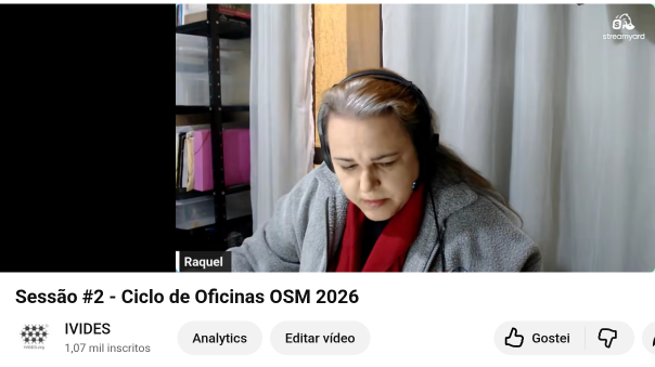
IVIDES DATA™ successfully held the second live session of the 2026 OpenStreetMap Workshop on May 22, 2026, during which the following topics were presented:
* Generating aerial imagery from drone photographs using OpenDroneMap (ODM);
* Uploading the image to OpenAerialMap (OAM) and retrieving the TMS geoservice URL;
* Resources for mapping with custom background images (GeoTIFF, via TMS geoservice) and street-level photographs (Mapillary, Panoramax);
* Overview of geoservice and image licensing and permission to use images on OpenStreetMap;
* Description of relations in OSM;
* Mapping simple areas and creating simple feature relationships (multipolygon type).


