Saber onta
Users' Diaries
Recent diary entries
Posted by Pieter Vander Vennet on 29 October 2025 in English.

This is the story of how the cycling association measured streets in Bruges and got what they wanted - a cycling zone - 5 years after the initial campaign…
The setup
First some belgian road law. One of the peculariaties of Belgian is that we have the concept of a ‘cyclestreet’. This is a street where cars are not allowed to overtake cyclists - one of the tools to make cities more liveable. A cycle zone is similar, except that it is about multiple streets. It needs different traffic signs and is in effect until the “end of cycle zone”-traffic sign.
The cycling association of Bruges wanted a cycling zone in the entire city center. To force this, they devised a plan using a different law. The Belgian road code says that cars are not allowed to overtake a cyclist if the space between a cyclist and the car would be less then 1 meter.
In other words, if the cycling association could prove that most of the streets in Bruges are too small to legally overtake cyclists anyway, that would be a good starting point to force a cycle zone in the city. In practice, it would make the already existing situation more explicit.
Enter OpenStreetMap
As such, the local cyclist association asked me to help them in 2020, in the middle of the corona lockdowns.
I did create a custom version of StreetComplete to ask for the street width (a quest that StreetComplete would officially add about a year later).
And, as such, we got out into the city and, armed with a laser measurement device, took the width of every street in the historic center - a perfect activity to do during the corona lockdowns.
To display the information, I setup a custom map theme on MapComplete (which was quite young as well) to show the widths of the streets.
Using the measured width, parking and sidewalk information, MapComplete can automatically determine which streets are to small to officially overtake a cyclist.
Nn
Posted by Smarzaro on 29 October 2025 in Brazilian Portuguese (Português do Brasil).
Last updated on 30 October 2025.
Há algum tempo estabeleci para mim mesmo um desafio ousado: registrar pelo menos um changeset em cada país/região listada no OpenStreetMap. Eu me baseei na lista oficial do OSMstats, composta por 260 locais ao redor do mundo — e hoje posso dizer que o desafio foi concluído.
O mais interessante dessa jornada foi perceber como o mundo é diverso até no mapa. Em alguns locais, o mapeamento está tão detalhado que foi muito difícil encontrar algo para contribuir. Já em outros… praticamente tudo ainda precisa ser mapeado — sem falar na falta de imagens de boa qualidade para servir de referência.
No fim das contas, foi muito mais do que completar um checklist. Foi uma viagem virtual pelo planeta, enxergando paisagens mapeadas e não mapeadas, contrastes culturais e diferentes níveis de engajamento da comunidade.
E é exatamente isso que torna o OpenStreetMap tão especial. Cada contribuição, por menor que pareça, faz o mundo ficar um pouquinho mais visível.
Agora é pensar no próximo “desafio” 😄 28/10/2025
Solo tengo que escribir? Aparentemente si

When I was using JOSM tonight, the satellite imagery shown on my screen reminded me of something.

It reminded me of a simulation game I loved playing several years ago : SimCity 4.
Posted by hbogner on 28 October 2025 in Croatian (Hrvatski).
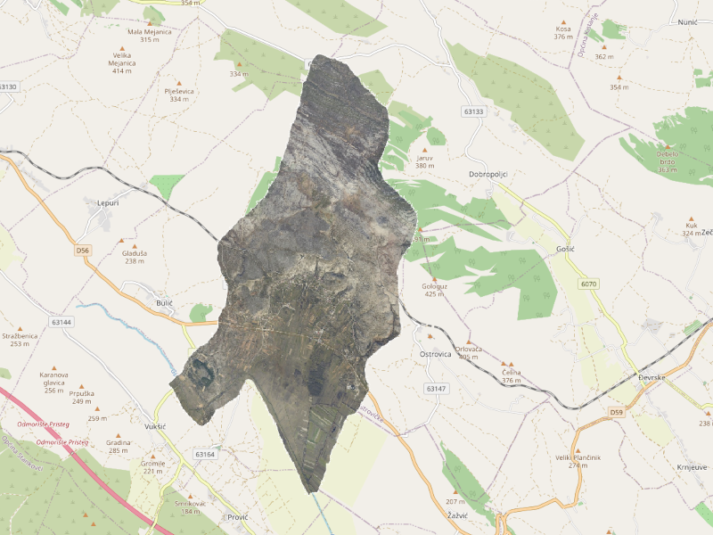
Digitalni ortofoto Grada Karlovca 2023 na TMS i TM serveru
Zadnjih nekoliko objava se odnosili na DOF sniman dronom, za manja urbana područja. Prije smo objavili DOF sniman zrakoplovom za veća urbana područje poput Knin 2007, Zagreb 2012, Zagreb 2018 i Rijeka 2020. Sad imamo kombinaciju, snimke dronom za veće urbano područje.
Pitali smo ih, a Grad karlovac nam je dopustio korištenje svoje snimke. Ne samo dopustio korištenje nego su nam ustupili i snimke koje sad objavljujemo na našem tms serveru. Snimke su nastale snimanjem dronom i to u 11. mjesecu 2023. godine. Tako da su to najnovije snimke koje imamo.

Za korištenje potrebno je ručno upisati TMS adresu u željeni editor.

primo post
Ecco qui, altro luogo dove scrivere, userò questo diario per gli spostamenti, mi pare adatto :-)

A partire da questa domanda sul gruppo Telegram, mi è venuto in mente che fosse utile creare un breve tutorial per spiegare come visualizzare le informazioni delle direzioni all’interno delle applicazioni per modificare OpenStreetMap, che è un argomento, a mio avviso, semplice, ma poco intuitivo per i neofiti del progetto.
Non tutti i nodi hanno bisogno una direzione! Solitamente, i nodi legati a una way possono avere una direzione. Questo perché in OSM le way hanno un senso di costruzione (che viene generalmente indicato con delle freccette sulla way).
Posted by soumendrak on 26 October 2025 in English.

My morning walks got replaced by Car driving lessons.
I turn on my GPS and go for driving and after returning I upload the traces to OSM.
I am wondering other than uploading the GPS traces, is there any other way I can utilize my local knowledge to contribute to OSM.
ویژن یا هدف هترین مسیری که یک انسان تو زندگیش میتونه ادامه بده برای زندگی کردن و نفس کشیدن فقط تعیین هدف و پیش رفتن به سوی آن نترسیدن در راه و چالشها برای رسیدن به هر آنچه که میخواهد
Posted by IbrahimAbdulaiKargbo on 24 October 2025 in English.
I’m honored to begin my journey as a 2025 Fellow with the Open Mapping Advocacy Network (OMAN) under the HOT Open Mapping Hub – West and Northern Africa (WNAH). Over the years, I have actively contributed to the open mapping ecosystem through OpenStreetMap Sierra Leone and YouthMappers, as a 2023 YouthMappers Leadership Summit Fellow and 2023–2024 YouthMappers Regional Ambassador for West Africa and a Trainer, OSM Sierra Leone. These experiences have shaped my passion for leveraging geospatial technology as a tool for sustainable development, data-driven decision-making, and youth empowerment.
I applied to join the OMA Fellowship because I deeply believe in the transformative power of open data and participatory mapping to promote inclusion, community actions, and resilience. The OMAN Learning Initiative provides a meaningful opportunity to expand my skills in course design, open mapping advocacy, and community engagement, while collaborating with my co-fellow to co-create impactful learning resources that empower local mappers and communities across West Africa. Together with my co-fellow Jimerveille Thierry-Ngouama, we’ll be co-developing the course “Open Mapping for City Management and Planning.” This learning initiative explores vital and practical themes such as: -Open Data for Sustainable Cities -Informal Settlement Mapping -Disaster Preparedness and Resilience -Disability Assessment and Accessibility Mapping -Revenue Generation and Urban Innovation These themes strongly resonate with challenges faced across West African cities, where limited access to reliable geospatial data often hinders effective governance and urban development. Open mapping offers a powerful and practical pathway to strengthen urban planning, disaster risk management, and inclusive infrastructure design ensuring that no community is left behind.
Posted by Jimerveille on 24 October 2025 in English.
Last updated on 28 October 2025.
About me
A geospatial tools and technologies enthusiast from the Republic of Congo. First, a chapter’s Vice-President of YouthMappers de l’Université DENIS SASSOU-N’GUESSO, before serving as a Technical YouthMappers Regional Ambassador. Now, more than pleased to shape the future of Open Mapping within the North and West African region as a Content and Community Engagement Fellow at the HOT WNA Open Mapping Hub.
How did I end up here?
Having witnessed the power of Open Mapping, I am dedicated to raising awareness around it and its related tools and technologies. So, when I heard about the Open Mapping Advocacy Network (OMAN) Learning Initiative, I felt excited to dive into it. More interestingly, the selection process to become a fellow in this program was one of the best experiences I have had. Indeed, no interview for shortlisted, the selection team directly provides us task to complete, linked to what is expected of us and what we are supposed to be doing once selected. This process taught me a great deal about situational thinking and problem-solving.
According to my view, why is open mapping so important?
Open mapping is neither just about freely available online maps for getting from place A to B nor collaborative mapping projects anyone can join. It’s really about democratizing locational knowledge for facilitating decision making, helping problem solving, and supporting one’s geographic experience. The reason why the course under development is titled “Open mapping for sustainable cities” and will be subdivided into five (05) modules, emphasizing an introduction and four (04) mapping thematic as follows: informal settlements, disaster management, disability assessments, and revenue generation.
A propos de moi
Posted by hbogner on 24 October 2025 in Croatian (Hrvatski).
Digitalni ortofoto Lučelnica 2018 na TMS i TM serveru
Završavamo sa Cadcom DOF objavama. Do sad objavljene snimke su već od prije u obradi: Igrane, Božava, Kali, Sali, Gornja Rijeka, Lišane. Zadnje u ovom setu kojeg smo dobili je Lučelnica DOF sniman 2018.
Za korištenje potrebno je ručno upisati TMS adresu u željeni editor.
Kao i za prethodne snimke kreiran je i projekt na našem Tasking Manager servisu koji olakšava grupno uređivanje određenog područja. Uključite se i provjerite sve kuće, prometnice, staze.
Kad koristite TM servis za odabir zadatka automatski se učitava gore navedena podloga.
Posted by applecuckoo on 24 October 2025 in English.
Last updated on 25 October 2025.

this is just a little page for me to keep some of my Ultra experiments, will write more when time allows
A few days ago I found what appears to be a criminaly underviewed video (currently with 81 views) about imagery interpretation. I almost cannot believe I hadn’t seen it up untill now. It’s breif, contains many of the points I’d write to others about, and there’s next to nothing which I dissagree with. A wonderful addition to my feedback toolbelt.
I want to give this video a signal boost in all relevant mapping channels, since it’s a fantastic resource which can help contributors improve their imagery interpretation. An Introduction to Aerial Imagery for New Mappers
The video is titled for beginers, but the fundamentals don’t change; check it out!
Posted by FrodoMappins on 23 October 2025 in English.

If you are like me, you like things fast. Hobbits aren’t know for this, but we Mappins a little different you know…. more to come.

Het Industrieplein gemicromapt en geoptimaliseerd!
Dear Bilbo,
What a calamity! Just this morning, I attempted to properly document Sandyman’s Mill in OpenStreetMap—you know, the watermill where they grind all the Shire’s grain—and I discovered to my absolute horror that OSM has no proper tagging schema for Shire watermills! Oh, they have man_made=watermill for those dreadfully generic watermills elsewhere in Middle-earth, but nothing that captures the essential hobbitish details: the number of grinding stones, the undershot versus overshot wheel configuration, or most importantly, the weekly flour production capacity (measured in seed-cake equivalents, naturally). I sat there at my mapping desk, GPS coordinates at the ready (SY 1234 5678, if you must know), completely flummoxed—rather like the time Bilbo tried to explain his Elvish poetry to the Gaffer. Looks up with determined gleam in eye
I realize I must take matters into my own furry-footed hands! If the wider OpenStreetMap community hasn’t created proper specifications for Shire watermills, then by the Green Dragon’s best ale, I shall create them myself.
“By Elbereth! A proper preset definition for hobbit watermills!” I exclaimed, nearly spilling my tea over the JSON structure before me. This beautifully formatted file would let any mapper document our mills properly—but first, I needed Sam’s expertise to determine which fields truly mattered. Next: I rush to Bag Shot Row, waving my GPS device at a bewildered Sam in his garden!
This is the json object that same and I came up with.
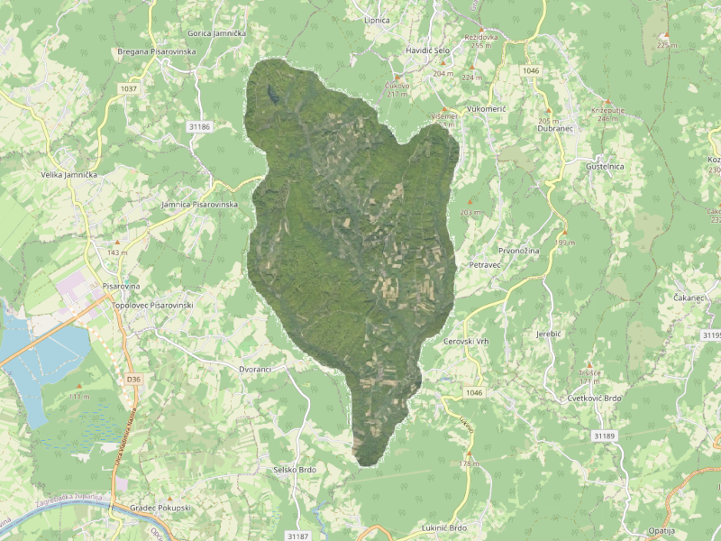
Posted by hbogner on 22 October 2025 in Croatian (Hrvatski).
Last updated on 24 October 2025.
Digitalni ortofoto Lišane 2018 na TMS i TM serveru
Nastavljamo sa Cadcom DOF objavama. Do sad objavljene snimke su već od prije u obradi: Igrane, Božava, Kali, Sali, Gornja Rijeka. Sad je na redu Lišane sniman 2018.
Za korištenje potrebno je ručno upisati TMS adresu u željeni editor.
Kao i za prethodne snimke kreiran je i projekt na našem Tasking Manager servisu koji olakšava grupno uređivanje određenog područja. Uključite se i provjerite sve kuće, prometnice, staze.
Kad koristite TM servis za odabir zadatka automatski se učitava gore navedena podloga.