
Геоинформационный портал Калужской области - набор электронных картографических сервисов, обеспечивающих открытый доступ заинтересованным пользователям к массиву пространственных данных нашего региона посредством глобальной сети Интернет. Сссылка
Users' Diaries
Recent diary entries
Реестр парковок г. Калуги
Реестр сведений о парковках общего пользования, расположенных на территории муниципального образования “Город Калуга”.
Комплексная схема организации дорожного движения города Калуги
Содержит перечень дорог с их категорийностью и другими характеристиками (см. файл Отчет КСОДД).
АО “УКОН”
Информация о городских ярмарках и банях.
This blog post is part of a series of blog posts about the new OSM file format “OMA”. This is the fifth post. At the end of the article you’ll find links to the other blog entries.
When relations where introduced (in 2008, if I remember correctly) I was a big fan of them. They sounded great and promising. Meanwhile I think, it was a mistake to add relations, and if I where to decide I would probably remove them from OSM and replace them with something better.
Let’s have a closer look: Nodes and ways (and areas) are simple: A geometry with some properties. Relations do not share this simplicity. They share the properties, but they do not have their own geometry. Instead, they contain references to some elements. This makes things complicated.
I could write several articles about relations and why I think they are a bad idea, but this article is about relations in Oma files, so I’ll leave it at that for now.
Multipolygons
Instead, I’m going to take a closer look at what is currently done with relations. According to taginfo, more than half of all relations are multipolygons, that is, a collection of areas. Since we’ve already got areas in Oma files, this is easy to handle: All multipolygons are converted to one or more areas.
مراعي ابل
مراعي حيوانات
مراعي

En el contexto de una clase de Cartografía Digital que estoy dictando en una institución de educación superior, les mostré OSM a mis alumnos para que sepan de este interesante proyecto que yo conocí el 2019. No me había interesado mapear hasta ahora que vi que falta mucha información y además que la existente contiene muchos errores.
طرق
سيارة قديمة
مياه امطار
تخييم
مياه امطار
مياه شرب
مياه
تخييم
مياه
عشب حيوانات
ارض جرداء
عشب

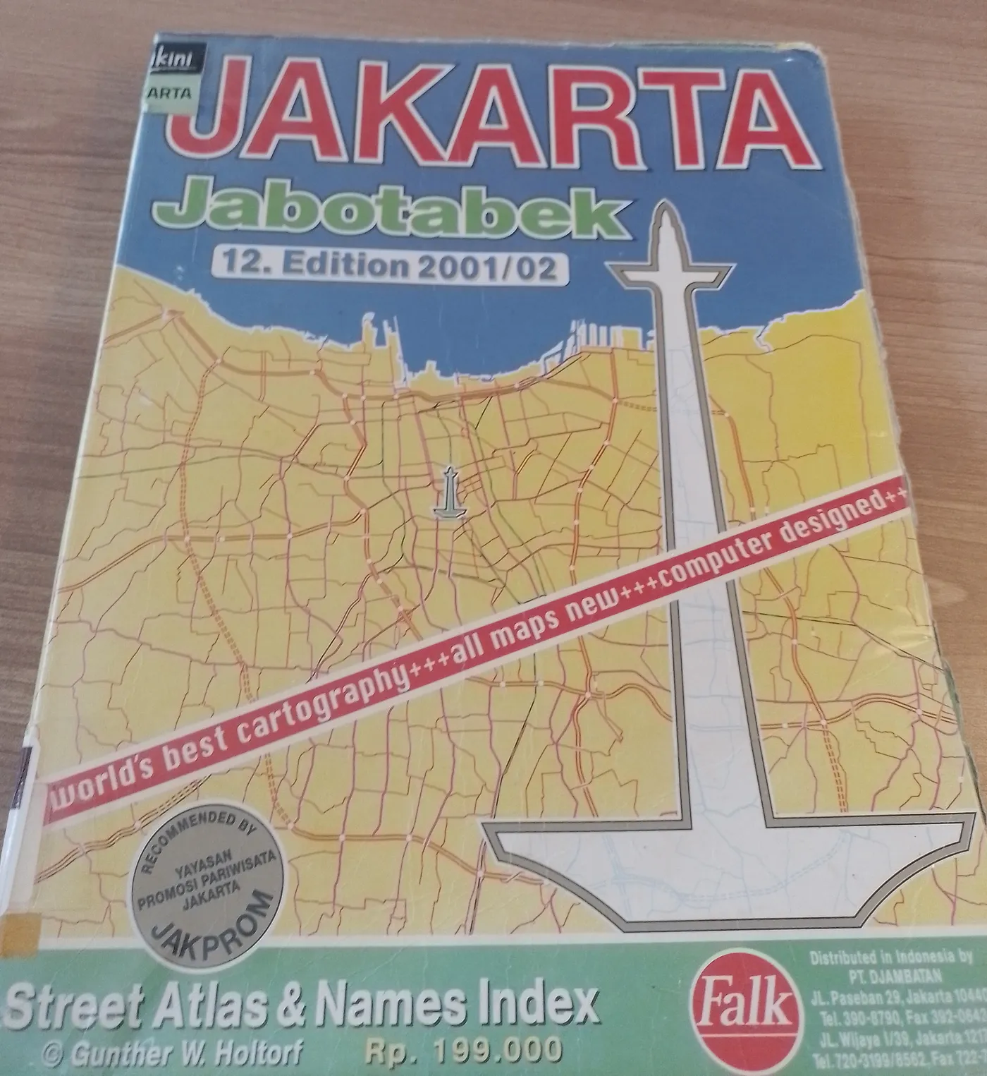
In 1973, Gunther W. Holtorf was assigned as the manager of Lufthansa in Indonesia.
From his first year working in Jakarta, many friends and visitors from abroad frequently asked him to act as their guide in the city. To assist his guests, despite having no formal background in cartography, he began sketching maps of Jakarta. His work proved useful and well-received, encouraging him to create a more detailed and comprehensive map of the city.
To achieve this, he initially approached the Jakarta City Planning Office. Instead of obtaining the topographic maps he sought as a base, he only found outdated maps of the city. This situation led the local civil servants to encourage him to produce a new map.
Gunther accepted the challenge. Every weekend, he explored Jakarta, navigating its narrow alleys and streets by foot, bicycle, and car. In addition to his weekend excursions, he also dedicated time each morning from 6:00 to 9:00 before heading to his office.