 OpenStreetMap

For the past few weeks I’ve been making a concerted effort to map solar panels across rural areas of North & Central Wales (Powys, Gwynedd and Ynys Mon - Anglesey), so far with good results. I’m using a thorough search technique which looks at individual clusters of buildings from Ordnance Survey Open Data (which is complete for Great Britain). This means I see lots of other things which need mapping, but from experience I know it’s important to focus on the specific task. However, I have followed up some of the more striking things, which I plan to report in a series of posts.
First up was a striking structure in the middle of farmland on the Llyn Peninsula. It was pretty obviously a high-tech milking machine: milking parlour seems a bit quaint for a pretty sophisticated bit of kit.
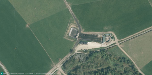 Bing Imagery (close-up view).



%20by%20Vince%20Emond.jpg)

