OpenStreetMap

It isn’t always obvious where to position a highway=motorway_junction node that connects a motorway way to a motorway_link way (also known as an off-ramp or slip road). Over the years, mappers have used three different approaches.
Inconsistent placement of junction nodes can affect turn-by-turn navigation software, particularly instruction timing and rerouting. I’d like to raise awareness about the preferred placement, which is at the beginning of the gore, and explain why the other two approaches are suboptimal.
Throughout this post, I will refer to the term gore. A gore is a wedge that separates a ramp from the main motorway. A physical gore may be a barrier or a grassy area, whereas a theoretical gore simulates this separation using pavement markings and empty space. By “gore”, I am referring to the beginning of the theoretical gore, if present, or alternatively the physical gore.


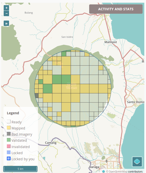 On-going humanitarian mapping around Mt. Mayon, Albay, Philippines