OpenStreetMap

Action for Economic Reforms (AER) is a Philippine non-government organization engaged in research and advocacy. It conducts policy analysis and advocacy on macroeconomic reforms, universal health care, industrial policy, freedom of information, among others, and key issues of the day.
Coalescing Organizations towards Locally Led Actions to Boost Development (COLLABDev) is a partnership initiative of AER and the United States Agency for International Development (USAID) to promote human-centered, data-driven development in the Philippines. One of the main components of the COLLABDev project is to promote the development of existing open geospatial communities and data, especially in the 14 sites from the six provinces covered.
On October 8, 2021, the University of Science and Technology of Southern Philippines (USTP) as one of the partner State Universities and Colleges (SUCs) in Mindanao, signed the Memorandum of Agreement (MOA) to assist Local Government Units (LGUs) in the drive to use data to craft policies and to implement projects and programs of the COLLABDev Project.



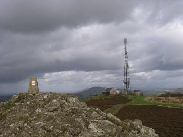 Summit of Mynydd Rhiw




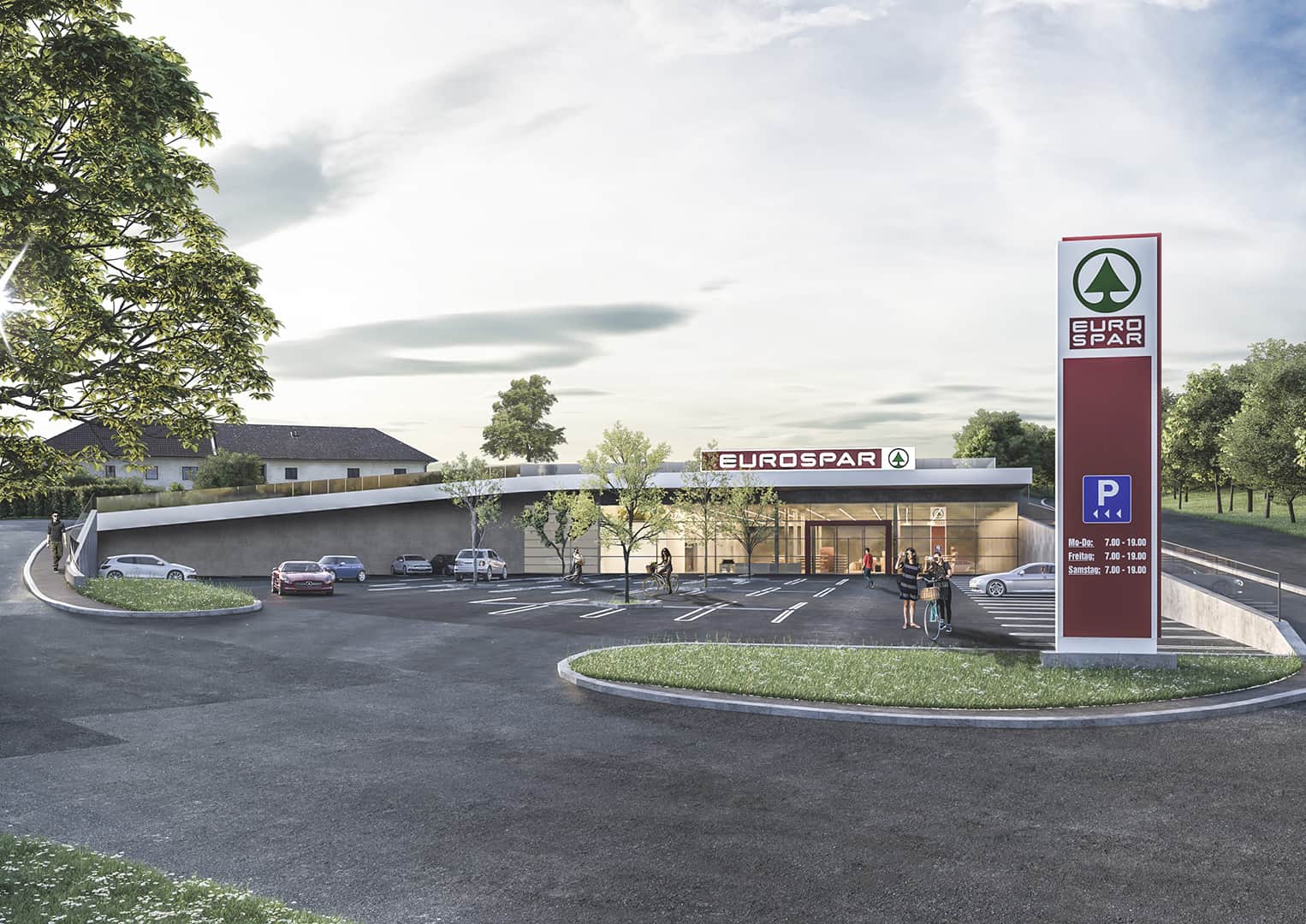 It pretty much looks like this in reallife and you can (can’t) see, that there is a field, respectively a meadow on the roof. Mapping the building as “underground” wouldn’t make much sense to me, but “overground” does neither. Maybe I should just map the Supermarked as a single point (like it is right now, temporarily)?