 OpenStreetMap
Posted by Marcelo Soares Souza on 3 April 2024 in English.
Last updated on 18 April 2024.

We made the Agroecology Map data available in GeoJSON format so that you can use it in your analyses.
You can now export all data and use it under the Creative Commons 4.0 (BY-NC-SA 4.0) license.
See how easy it is to use the Agroecology Map data in the QGIS tool
https://youtu.be/w418y-eivmY?si=9cB-D9x7bf-zXhza
Find out more about the Agroecology Map at https://agroecologymap.org


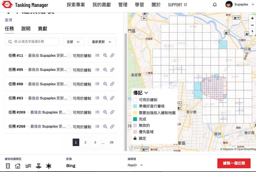 ▲ Tasking Manager project page. This project’s main goal is to map Xiejie District, Tainan City.






 Open Mapping Guru, Brazil Singh in a field visit and data collection in Mirpur and Duaripara, Dhaka.