 OpenStreetMap

TL;DR: head over to http://taghistory.raifer.tech/ for usage graphs of arbitrary OSM tags over time (by number of OSM objects).
In OpenStreetMap, tags define what an object is. Whether it is a mountain, a river, a house, or a postbox: Every map feature has it’s own tag (or set of tags).
OSM doesn’t have a fixed set of object categories. Over time, a more and more faceted and diverse set of features got mapped in OSM, thus the amount of different tags grew. At the same time, sometimes, tagging of a specific thing changes: Features that used to be mapped with one tag, get newer, better and more refined tags. That’s OpenStreetMap evolving.
Of course, OpenStreetMap is also still growing, but not all the tags are getting more widely used at the same pace: For example, while it’s quite possible that most of the world’s railway stations are already mapped in OSM, there are still many juicy pastures left to be mapped out there.




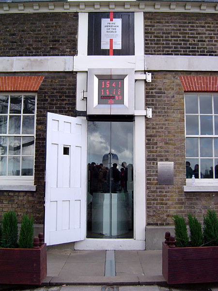 Prime meridian at Greenwich. CC-by-sa


