Showing boundaries as a separate layer on https://map.atownsend.org.uk
Posted by SomeoneElse on 24 November 2018 in English. Last updated on 20 September 2021.When I developed the map style that you can see here from OSM-carto one thing that I didn’t carry forward was the representation of borders. Partly this was because it’s not easy to separate maritime ones from non-maritime ones, the the purple maritime country borders frankly don’t look very nice:
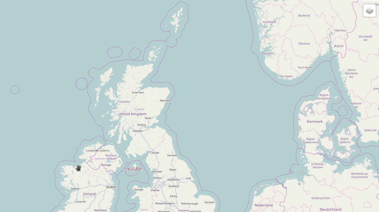
Partly it was also due to “clutter” - I didn’t want an arbitary boundary to get in the way of a river or stream or other feature.
Sometimes however, it would be useful to see what borders are where, so why not do it as an overlay? This turned out to be rather easier than anticipated.


