SomeoneElse's Diary

Recent diary entries

Setting up an Overpass API server - how hard can it be? (updated)

Posted by SomeoneElse on 27 July 2026 in English. Last updated on 3 August 2026.
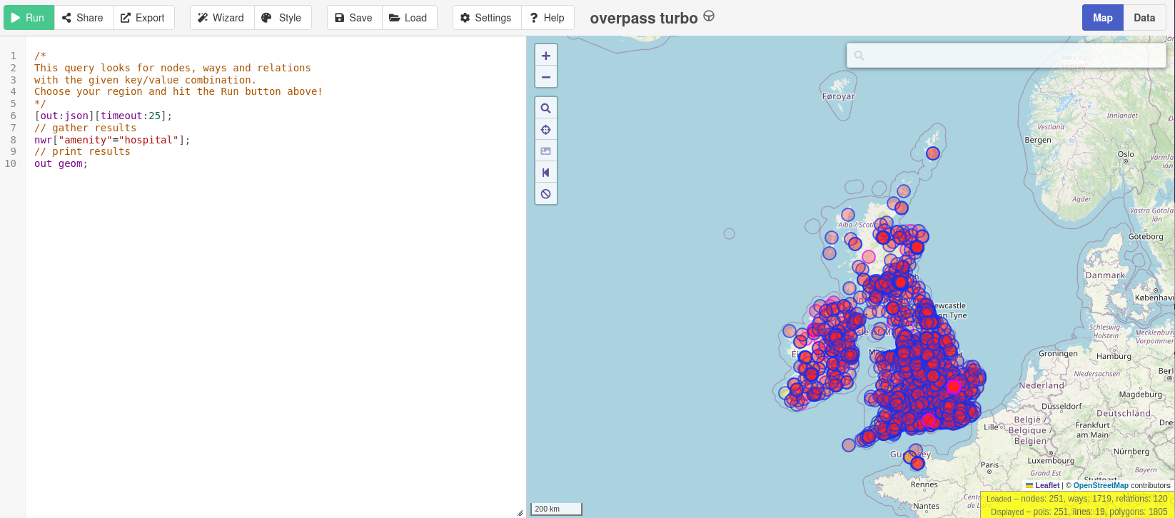
All the hospitals in the UK and Ireland, in about 10 seconds

Note that this is an update of a previous diary entry. This version uses updated Overpass software from a fork.

Many people have noticed that publicly available Overpass servers have been suffering from overuse (a typical “tragedy of the commons”). OSM usage policies generally contain the line “OpenStreetMap (OSM) data is free for everyone to use. Our tile servers are not”. Unfortunately, there have been problems with overuse of the public Overpass servers, despite the usage policy. “Just blocking cloud providers” isn’t an option, because (see here - use the translate button below) lots of different sorts of IP addresses, including residential proxy addresses, are the problem.
See full entry

Location: Kingsland Place, St Mary's, Southampton, England, SO14 1LG, United Kingdom

Will it be muddy? Showing good quality paths differently

Posted by SomeoneElse on 16 May 2026 in English. Last updated on 18 May 2026.

Some bridleways and restricted byways near Worthing

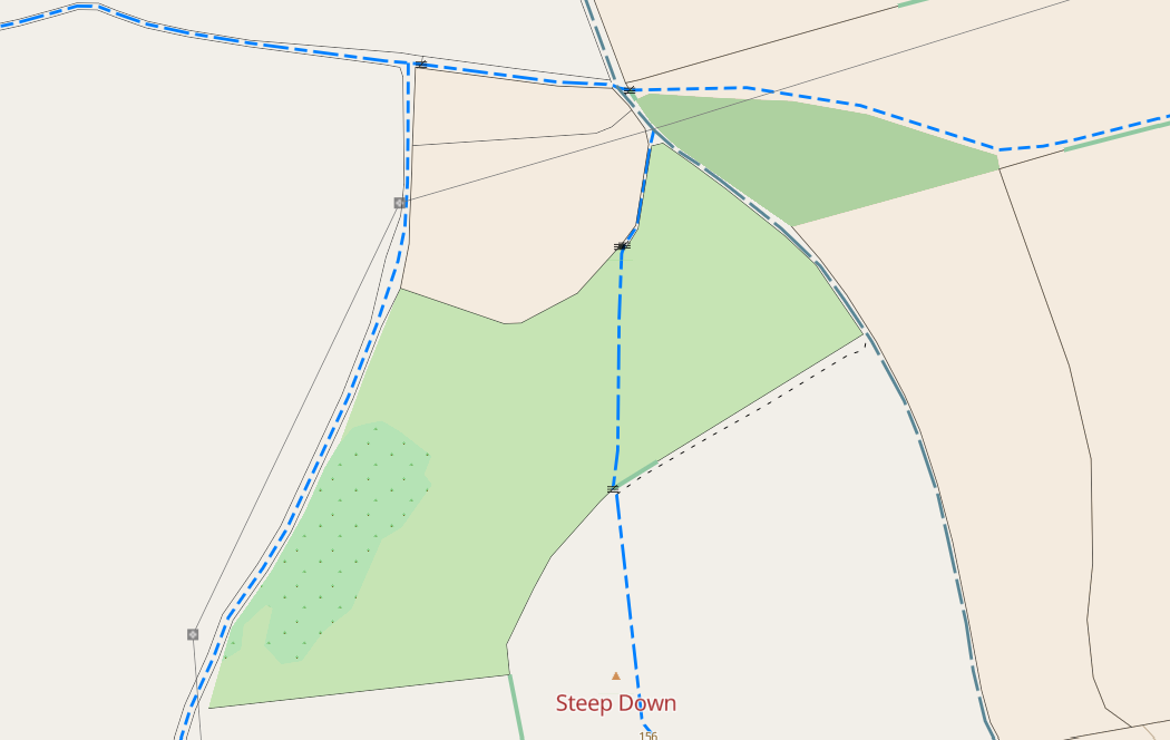
Over the last few weeks I’ve improved the way that paths and tracks are shown on map.atownsend.org.uk in both the raster and vector versions. The aims were:

  1. Improve clarity, so that their visibility in e.g. nondescript woodland was better
  2. Improve consistency, so that the display of them on vector and raster looked similar to each other, and the “visual weight” of each class broadly matched when looked at together on a map.
  3. Reduce confusion so that two different things were not shown in similar ways.
  4. Show “good quality” paths and tracks (e.g. paved and compacted gravel surfaces) differently to other ones to help answer the “will it be muddy” question.

See full entry

Location: Sompting, Adur, West Sussex, England, United Kingdom

How tags have changed on one way

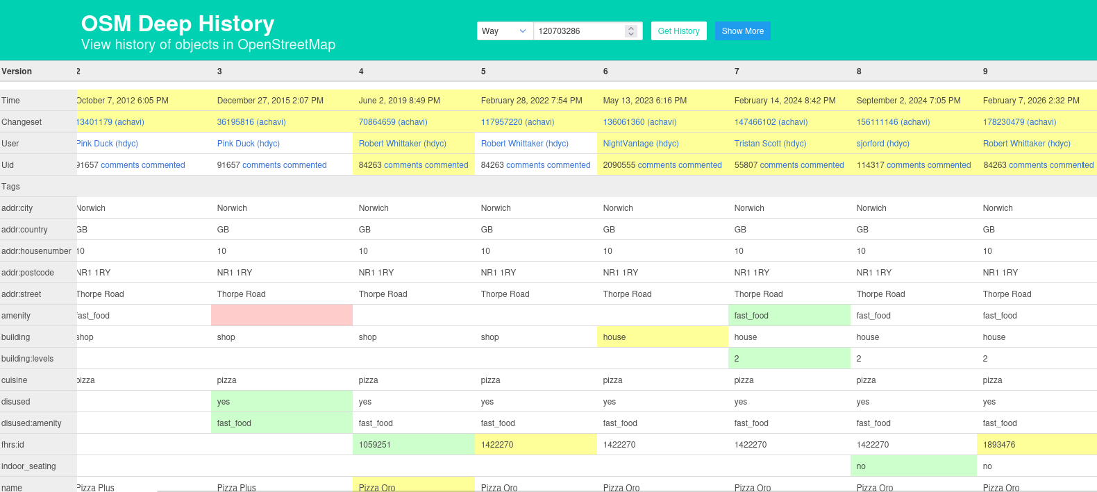
Generally speaking, Lifecycle Prefixes mean that when something is no longer in use, a tag such as amenity gets changed to disused:amenity. That should be straightforward, but sometimes disused=yes creeps in.

This example overpass query for nwr["amenity"="fast_food"]["disused"="yes"]({{bbox}}) finds a couple of examples. In these cases we can have a look at the tag history and (as seen in the picture at the top) notice that the FHRS ID changed recently, and the disused=yes actually corresponded to the name of a different business on the same site (in fact that that one has the full set of such tags: ["amenity"="fast_food"], ["disused:amenity"="fast_food"] (which don’t make sense together) and ["disused"="yes"]. In these cases you can often look through the tag history and see what the current status is supposed to be; if the last changeset comment was “this has now closed” it’s fairly obvious.

See full entry

Location: Lodge House, Stonegrave, North Yorkshire, York and North Yorkshire, England, YO62 4LL, United Kingdom

The new SVWD10 map style, based on the SVE01 map schema

Because sometimes you want to see less rather than more, I created this. It’s the railway information from the existing transportation layer of the SVE01 schema, together with railway stations, places and water as needed for context.

One thing that it does is to distinguish between regular transportation railway stations and tourist ones.

Freight lines are de-emphasised (see here and disused and abandoned railways are shown in a barely-discernable grey.

The source of the style is here but that is just a subset of the “show everything” style for this schema here.

Location: Saltburn, Marske and New Marske, Saltburn by the Sea, Redcar and Cleveland, Tees Valley, England, United Kingdom