OpenStreetMap
SomeoneElse's Comments
| Changeset | When | Comment |
|---|---|---|
| 157029789 | This is just a revert with no comment. Can you explain why the previous version was wrong and your version is correct?
|
|
| 155703934 | Cześć Marcin,
Andy Townsend, w imieniu Grupy Roboczej ds. Danych OSM. |
|
| 155703934 | Hello Marcin,
Andy Townsend, on behalf of OSM's Data Working Group. |
|
| 157594622 | Thanks - it reappeared in my database afterwards too. |
|
| 157494945 | Thanks! |
|
| 155915831 | Like changeset/118501311 et al, surely this is Gunnerside not Grosmont? We know there's an obviously wrong Yorkshire Water spreadsheet out there (see several previous on https://resultmaps.neis-one.org/osm-discussion-comments.php?uid=508 ), so I think we all have to check any names added against the "sniff test" - does this name look right for this place, or is it perhaps the name of somewhere else?
|
|
| 157594622 | Presumably when work is complete it'll also fix the gap in relation/9310601 :) |
|
| 157494945 | Hello - a quick question about relation/16788800#map=18/52.332694/-0.135961 - It looks like there are three possible routes there, but I guess you know which one is correct :) |
|
| 157426770 | Thanks! |
|
| 157449350 | ||
| 157556612 | ||
| 157556433 | :) |
|
| 151567251 | Thanks for reverting changeset/151566709 , but it looks like the person who did that also changed the names in changeset/150898937 . Using https://map.atownsend.org.uk/maps/osm-deep-history/#/relation/13407035 I've tried to set the names back to the previous values to that relation/13407035 is again "Morocco except Western Sahara". |
|
| 156807539 | Thanks for raising it on the forum! |
|
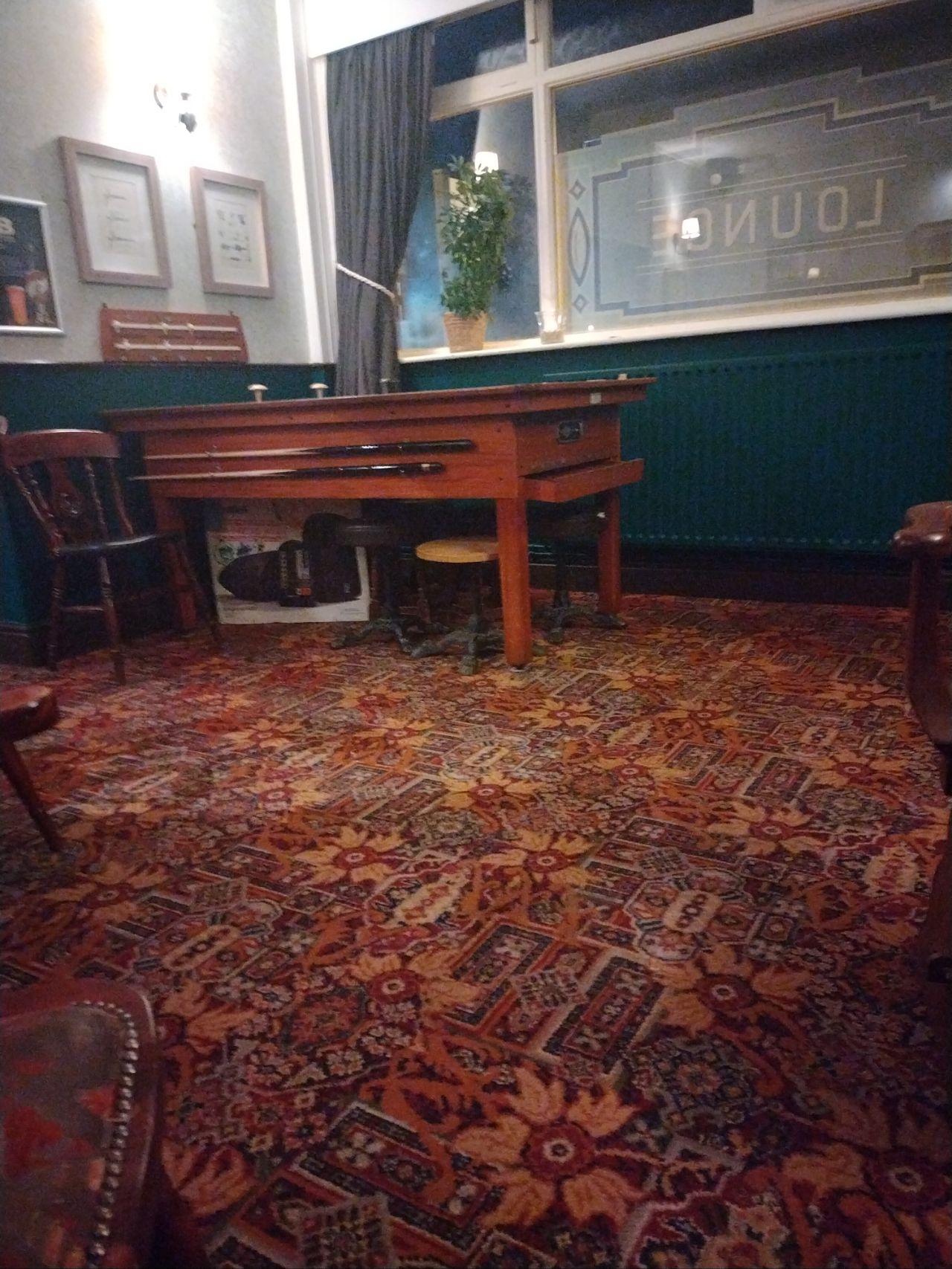
| 151567498 | For info, this is what a bar billiards table looks like: https://map.atownsend.org.uk/tmp/241539.jpg . That's not one of these but the one in node/559267374/ . |
|
| 156807539 | Please don't add AI generated slop to the OSM database.
|
|
| 157179684 | Oops - I'm guessing a name of "D" for relation/3266778 is an accident?
|
|
| 157060765 | Hi LOHS Dragons, If a trail is no longer in use, I'd suggest changing the tag on each section from "highway=path" to something like "disused:highway=path" is better than deleting it. The reason for that is that if someone sees nothing at all there when editing OSM, they might just add it back, especially if looking at old aerial imagery from before the time when the trail was disused.
|
|
| 157168143 | Hello and welcome to OpenStreetMap! I'm not sure what adjustment was made here - it seems to be a small adjustment to building geometry. One thing that it might be useful to know is that if the underlying building is rectangular (as appears to be the case here) then you can "square up" buildings in OSM by pressing "q". Also, I notice that diffrent imagery sources here differ about the "imagery offset" here. I don't know which is more correct, but there are lots of mappers in the Philippines, and asking at https://community.openstreetmap.org/tag/philippines would probably get an answer. I also don't understand the comment '[I just adjust “areas” to avoid copyright infringement.]' on your profile :) Best Regards, Andy |
|
| 157163259 | Hello,
|