Pawcio's Comments
| Changeset | When | Comment |
|---|---|---|
| 137318455 | Hi, why not? It connects other tertiary with primary and is used be a few bus lines, so it is much more important than average unclassified. It can't be residential as there are no houses on it. |
|
| 179869159 | Do you think that Ladybank and Pitlessie are villages? If so, then the road connecting them should be tertiary according to osm.wiki/Roads_in_the_United_Kingdom, which is also too wide for a country lane |
|
| 181369613 | Yes, I cycled through them. Why else would I change them? |
|
| 171105292 | It's fine for me. I really didn't pay attention whether it was a bridge or culvert. |
|
| 171105292 | Hi, yes I did, it seemed strange without a watercourse and I don't remember them when I cycled through, but looking now on satellite images there is some small ditch, so there is at least a culvert. I don't mind if you make it a bridge. |
|
| 149391915 | Hi According to osm.wiki/Roads_in_the_United_Kingdom having C classification is not enough to map road as tertiary, "Generally used only on roads wide enough to allow two cars to pass safely where adequate road markings are in place".
|
|
| 155991656 | Sorry for that example |
|
| 155991656 | That's great, thank you. Unfortunately most often things can be either easy (like taging according to references) or more practical |
|
| 155991656 | Hi, what do you think is more important for OSM users: safety and travel time or reference numbers? What do you think about marking roads by Ordnance Survey maps according to width? How did you check that roads that are now tertiary are "wide enough to allow two cars to pass safely where adequate road markings are in place"? osm.wiki/Roads_in_the_United_Kingdom Do you think passing places are enough for it? Maybe I'm blind but from what to what towns or villages these narrow, slower and more dangerous roads carry through traffic way/38303288#map=14/55.59951/-2.81663 way/55414855 way/237116806#map=15/55.67264/-2.74970 ? |
|
| 63022992 | Hi, I think the source was OS map. |
|
| 110750882 | You write very kind, you spend your time to make OSM better or safer. I'm more disappointed that is happening. There would be a very bad PR for Google to demand anything from OSM because of the name, but I get some are more strict Ordnung muss sein :) and Polnishe Wirtshaft is not desired. To be clear, I used the background available in OSM as you can see it is visible. It seems I've got the name from the Google Earth. On fas site the name is different also another on the information board: https://www.geograph.org.uk/photo/5504156 |
|
| 110750882 | I haven't written about using Wikipedia data, but using other sources like copyrighted websites as references, as Wikipedia do. I'm not going to repeat my work. |
|
| 110750882 | No, I haven't used Google Maps/Earth for other changes.
|
|
| 110750882 | Thanks, I can add a second url as name source https://www.fas.scot/article/woodland-at-sruc-kirkton-auchtertyre-fwn37-autumn-2021/ |
|
| 110750882 | Why is it not allowed? Where is it written? |
|
| 110750882 | Hello Koi.
|
|
| 115785614 | W Bukowską Poznań zainwestował według planu. Nie ma i nie było planów jakiejś znaczącej modernizacji Królowej Jadwigi, jak i w większości ulic, tak więc zarzut nieodzwierciedlania w najmniejszym stopniu odzwierciedla posiadaną wiedzę. |
|
| 115927194 | Znaczenie drogi zależy od możliwości technicznych i transport nie składa się tylko z tranzytu krajowego czy wojewódzkiego, tego nie ma np. w angielskich regułach, im większe miasto, tym bardziej jest ono celem i generatorem transportu. |
|
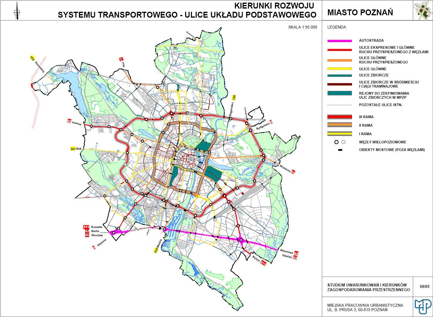
| 115785614 | Tak, tak zwłaszcza między Polską i Przybyszewskiego Bukowska jest ważniejsza niż Królowej Jadwigi. Chodzi mi o kategoryzację, czyli o grupowanie podobnych w tej samej kategorii. Na OSM ruchu nie widać, ale można chociaż spojrzeć na mapę komunikacji publicznej, żeby porównać ważność relacji. Poznań kwalifikuje i inwestuje w wylotową Bukowską i Królowej Jadwigi w tej samej kategorii technicznej https://upload.wikimedia.org/wikipedia/commons/7/7e/Uk%C5%82ad_komunikacji_drogowej_Pozna%C5%84.jpg nie bo tak, tylko z powodu roli w transporcie. |
|
| 115785614 | Super, super! Aleje Solidarności, Królowej Jadwigi i Roosevelta w końcu, po kilkunastu latach, są w tej samej kategorii co Mostowa i Szczawnicka, Kraszewskiego. Gdzież im w znaczeniu dla użytkowników do chociażby Bukowskiej? |