
The #questionable-edits OSM Iceberg
Posted by LordGarySugar on 2 April 2026 in English. Last updated on 4 July 2026.Introduction
Welcome to The #questionable-edits OSM Iceberg!
Over the past 5 months I have been collating some of the strangest, funniest and most excruciating examples of vandalism, mistakes and creative mapping. This Iceberg takes its name from the #questionable-edits channel on the OSM World Discord where we share the weird, wild and wonderful things we’ve seen while mapping. It should be made clear, the intent of #questionable-edits (and my Iceberg) is not to mock, demean or dissuade novice mappers, but to educate about common mapping pitfalls and share some of the entertaining things that have been found. I myself am guilty of a number of things listed below! I’ve included over 80 items in my Iceberg, ranging from the well-known to the downright unhinged. This Iceberg is also available on the OSM forums.
It shouldn’t have to be said, but please do not harass or otherwise antagonise any users whose edits may be visible in these examples. The screenshots and changesets linked below are intended as illustrative examples, and aren’t intended to target individual mappers.
Happy April Fools everybody! (Yes I might be a day late, but I was last year too). Enjoy!
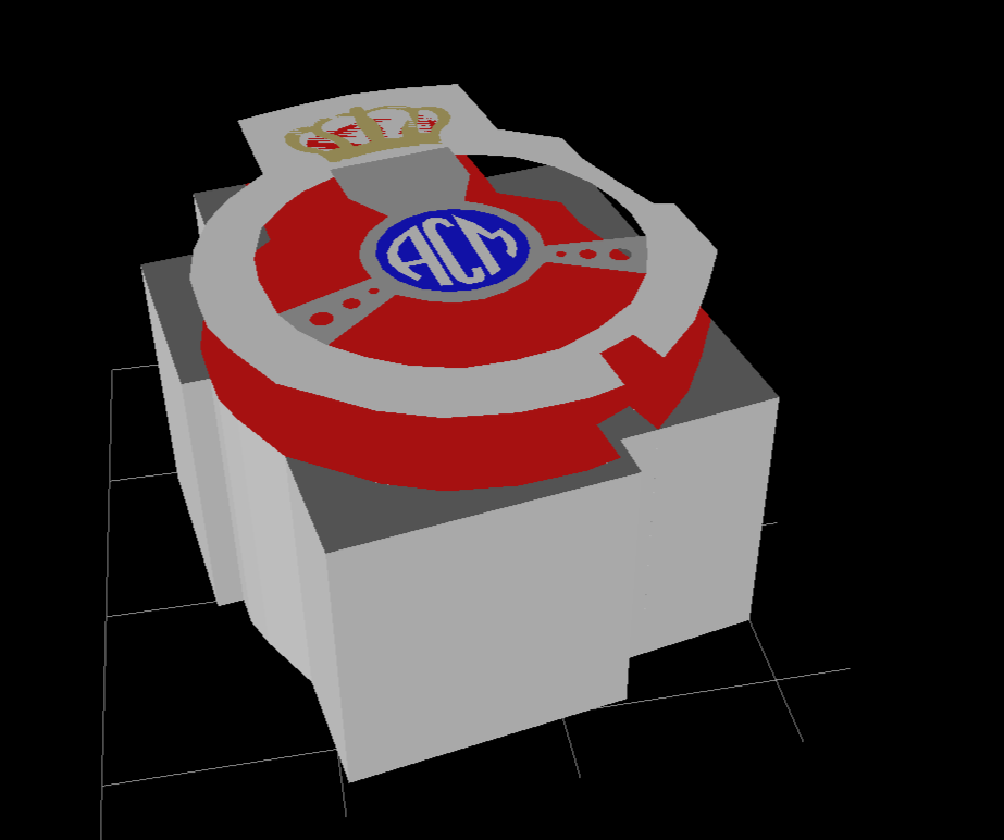 This is the ACM pavilion, a temporary structure set up for the duration of the Monaco Grand Prix, so it had to be my first foray into 3D mapping in OpenHistoricalMap.