 OpenStreetMap

One of the trickiest challenges in OSM is when a river (or any linear water feature) doubles as a regional or administrative boundary.
Rivers shift course over time; floods, erosion, and meanders, while boundaries often remain legally fixed. The result? Misalignments, overlapping lines, or confusing gaps on our maps.
For many contributors, editing such overlaps is daunting. Boundaries are sensitive, technically complex, and mistakes can cause big issues. Yet, leaving them mismatched affects disaster planning, legal clarity, and overall map quality.
My Question to Experienced Mappers 🙏
How do you decide whether to follow the legal boundary or the current river course?
Rivers don’t wait. Boundaries don’t move. But as mappers, we can bridge the gap. I’d love to hear your experiences and solutions!
Qwajo OSM


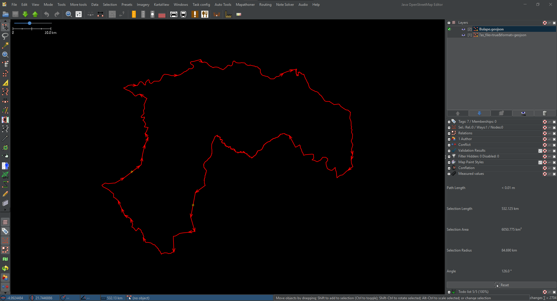 Fig.1. Area of Interest.


