
Picked another small town name in Vermont. There wasnt too much to map here. Dont have details on the ground.
Before:

and After:
 OpenStreetMap
Picked another small town name in Vermont. There wasnt too much to map here. Dont have details on the ground.
Before:
and After:
I am a visually impaired user of Open Street Map, and I already contributed some places to the city of Simi Valley and a few surrounding areas. I think it would be nice to create a Navilens tag for Open Street Map. I don’t mean an actual Navilens QR code, just a tag saying that there is navilens available at a particular place. This is just a sort of true-or-false or yes/no tag. Navilens is a service that allows visually impaired people to navigate using special QR codes detected by a celphone from several meters away without the camera pointing to the code. Now if the Navilens tag gets implemented into OSM, Navilens themselves could contribute directly to Open Street Map for places that have Navilens codes, especially bus stops. We could also contribute to Open Street Map if we know for sure that a place has Navilens. That way, visually impaired people around the world know what places they can use the Navilens app for navigating.
As an OpenStreetMap contributor, I always pay attention to how maps are used in media and various software applications. It is fascinating to see OSM data appear in unexpected places. Previously, I noticed that OpenStreetMap was used in the movie Mission: Impossible.
Recently, I came across an example of OSM’s osmCarto style being used in the software of the Skyranger 35, a highly mobile air defense system.

Whenever I use files containing OSM data, I’m faced with two major
problems. These problems are inherent in the OSM data model and
inherited by the common file formats (.osm, .o5m, .pbf).
The first of these problems is about accessing the data: As a result of the data model users are forced to use either huge amounts of memory or a lot of time. Often even both.
The second problem is even worse: Quite often you have to guess properties of the data, which means using heuristics. But by their very nature, they can lead to wrong results. The most prominent example is probably the question, if a closed way element represents a linear object or an area.
To overcome these problems I invented a new file format. The main idea: Convert the data once (accepting the drawbacks caused by the two problems) and end up with data that can be processed fast, using only little memory. I also tried to keep the file size small and the file format simple.
I called the new format “OMA format” like “Open MAp”. It’s accompanied by a human readable version called “OPA format” like “Open PAper”. (Oma and Opa are the German words for grandma and grandpa).
It took me about a year to design the Oma file format, and write a converter and a library for querying the new file format. I still consider it in experimental state, as I would like to get some feedback before releasing a stable version. Hence this post.
All this is a lot of stuff and I can’t go into all the details in just one blog post. For this reason I’ve decided to keep this article brief and base it on a single example. In the coming weeks, I will be writing more articles about the new file format, which will provide more in-depth information.
My personal enemy that I take so serious, is someone who edits an area on a map as “under construction” and then it SITS for longer than 6 months in that stage. In some cases people have been living in that neighborhood for 3 years…and it’s been marked as “under construction.” Here I am today fixing areas that are fully developed now, fully established- and the average of the construction edits were made 2 years ago. Here’s hoping doordash, my personal use favorite Strava, or even pokemon go run an update for those poor folks.
This is purely a diary rant about residential areas and their roads not being updated. I almost wish there was a way to make “under construction” just be something for an existing thing being updated/fixed, not something being built. We’re mapping what’s there to be mapped. I’d rather new developments or roads have like a “coming soon” tag of some sorts that wouldn’t block in app access.
We can use strava as an example, i’ll set a route and it’ll make me avoid an entire neighborhood because “Deleted User” 3 years ago marked these 7 streets near the lake trail as “under construction.” Took me a sad amount of time, admittedly, to realize what was happening. Another example is Niantic not having in game spawns (pikmin, pokemon, ingress) if an area is marked “under construction” because the game labels the area as dangerous, so why would they give server room to RNG spawn their in game items there? Reality though is Ash can and SHOULD be able to catch his Pikachu there because he’s been living there for 3 years- Niantic just doesn’t think it’s safe.
So, here’s my little rant about the amount if neighborhoods i fixed today that i have personally been to, biked through, walked my dog through, that have been “under construction” the last 28 months.
I finally got back to mapping, after about 6 months of being inactive. I’m really happy!
– Em Português
The event will be held on March 31, 2025, in Portuguese, with fieldwork and remote activities designed to raise awareness of the importance of open data in the ecological dimension, in order to collaborate in environmental conservation and improve the quality of life of inhabitants, in the face of the obvious consequences of the climate crisis, which have worsened environmental conditions in cities and led to increased pressure on resources, especially energy.
🌳🌳🌳🌳🌳
| Two independent certificates will be awarded (morning/evening) | Register by March 30, 2025, 23:59 (UTC-3). Limited places (20) for the fieldwork activity (morning). Unlimited places for the evening activity. REGISTRATION LINK – Event page |
🌳🌳🌳🌳🌳

I’ve just rolled out some updates for waymarkedtrails, the website for browsing route relations. The most notable improvement is that waymarkedtrails is finally able to understand member roles in route relations. This post gives a quick overview of what works and what doesn’t and what has changed with in the route views.
The first group of roles handled specially are forward and backward roles which indicate that the route follows the given way only in the direction of the way or in counterflow. These oneway sections are now shown when details of a route are displayed:
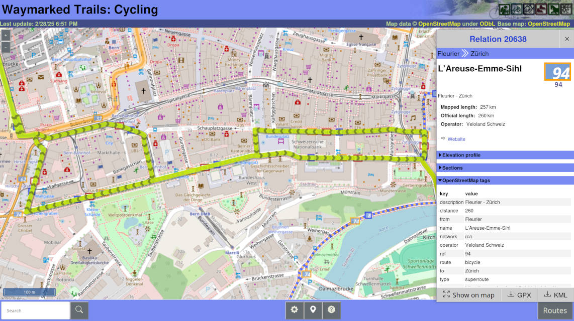
Waymarkedtrails will internally merge forward and backward sections into split sections and count them only once when computing the length of the route. However, this only works, when all ways of such a spilt section appear together in the relation and follow the order of the route. (See also the notes on ordering below.)
OSM History Viewer and OSM Route Manager are two ancient tools that help visualising and analysing changesets and route relations. In particular, they provide the following features: * Show the geographic and tag changes that a specific changeset has caused * Render a route relation (with support for nested relations), detect gaps and inconsistencies, and export the route as GPX * Analyze the history of relation members and show who last edited (and is thus to blame for) which section of the relation.
I have not maintained these services in many years and they frequently crashed or got overloaded. The user experience was also far from great.
I have decided to rewrite the logic of these tools and integrate it into FacilMap. While the don’t particularly fit the use case of FacilMap, the infrastructure (in particularly the UI elements) is there, making it convenient to integrate it there.
So far I have implemented the first functionality, changeset analysis. You can analyze a changeset by typing changeset <id> (for example changeset 6798641) into the search field, or by calling the URL https://facilmap.org/#q=changeset%20<id> (for example https://facilmap.org/#q=changeset%206798641) directly. As opposed to the legacy OSM History Viewer, the analysis and API requests are now entirely performed on the client side.
I will implement the other two features soon. Once done, the old services will be shut down and a redirect will be put in place.
Feel free to report any problems that you come across by writing to me or by creating an issue.
Latest Update from Henderson.
All roads, sidewalks and parking lots were traced out. Traced out some of the park details as well. Unfortunately not too many commercial details or bing street side photos are available of this small town, so cant add too much more information such as stop signs, or storefronts.

For the next town, ill probably do something in the north north east.
Also, anyone have any updates as to when bing will work in JOSM again?
I want better local information so here I am learning and updating Open Street Maps! (4 MAR 2025)
This diary entry describes my view on how best to map and tag pedestrian crossings and bicycle crossings. Best, considering detail, correctness, time consumption, clarity and usability. The many words in this diary may make it seem complicated, but the actual tagging is easy and direct node tagging of what you see on the road, with as little redundancy and required expertise as possible. As follows:
A simple unmarked, uncontrolled crossing, without special characteristics such as tactile paving, lowered kerbs or traffic island, is just an intersection node without any tags.
A simple zebra can be tagged with highway=crossing + crossing:markings=zebra. The usage of highway=crossing + crossing=zebra is seen as entry level duck tagging.
A simple crossing with other markings can be tagged with highway=crossing + crossing:markings=dots/dashes/lines/surface
If traffic lights control the crossing, add crossing:signals=yes
If there are special kerbs, add kerb=lowered/flush/…
If there is tactile paving, add tactile_paving=yes
If there is a crossing island within the crossing, add crossing:island=yes
If the crossing path goes uninterrupted over the road it crosses, so that the road is interrupted rather than the crossing path, add crossing:continous=yes
The latest updates from the town of Hernderson Nebraska. I believe i have around 90% of the buildings mapped. Once done, will move on to the sidewalks, parking lots, and other navigation details visible from the sky.

Started picking out small towns which have no detail, and started to add some details. This is Henderson, Nebraska. Currently trying to get all the buildings outlined.

I made another small analysis about the reviews made with MapComplete and Mangrove. You can read all about it here:
https://pietervdvn.me/2025/03/01/an-overview-of-reviews-made-with-mapcomplete-2025-edition/
Added missing house names and numbers. Many similar and/or confusing addresses in Old Conna area.
Some of the readers may have experienced the sinking feeling when they just attempted to upload dozens if not 100s of changes and a network glitch resulted in the editor app failing the upload.
What’s the problem when that happens?
It is literally that your editing app doesn’t know if any new objects it created locally have been successfully created on the server or not. If they have been created, retrying the upload will create duplicates, and if you don’t retry you potentially loose your work.
This post is related to work that I’m doing for version 21 of Vespucci that automates all of this, but the interesting thing is that you can easily handle many of the cases manually without editor support.
As you may know OSM changesets are not atomic, but individual uploads are (yes, you can upload multiple times in to the same changeset). With other words if your upload succeeded, but your editing app lost the response from the server, all your changes will have been successfully made, and, the other way around, if your upload fails it will fail completely.
The other point to note is that changesets are opened in a separate operation and are only automatically closed after a timeout of an hour if they are not explicitly closed after the upload by your editing app.
A normal upload operation will roughly contain the following steps
This means that there are simple cases that you can handle manually, assuming you are not uploading more than once per changeset (more on that later):
2021 was my most productive year in OpenStreetMap mapping. It was all downhill from there due to a variety of factors, highlighted by an abrupt career change that I never anticipated (COVID-19 pandemic did a lot of damage to everyone), and derailed me from my tracks.
Four (4) years since, despite being busier as a government employee with multiple designations, I decided to go back to mapping. I allocate a part of my free time to reacquaint myself with a long-lost love, and continue updating the places that became part of my journey.
Also, I became a father in the last quarter of 2024. To honor my only son, Daniw (an Iloko term for “poem”), who has exhibited a profound interest in exploring the outdoors at four (4) months old as of this writing, I shall be using a new name bearing his name.
Ngawit Aman Daniw means “Ngawit, the Father of Daniw” in Cordilleran lingo.
See our photo here: https://www.facebook.com/photo/?fbid=2294431287573827&set=a.119524685064509
“Ngawit”, by the way, is my Bontok Igorot name. I was adopted by the community in 2020 together with my life partner, Carla, through a Sangguniang Bayan Resolution. She was given the name, “Khayapon”.
You can read more about this narrative here https://nordis.net/2020/10/04/article/feature/culture-and-lifestyle/filming-their-way-home-to-the-cordillera/?amp
Hello, everyone! I am happy to be back!
View, edit, and create GPX files online with advanced route planning capabilities and file processing tools, beautiful maps and detailed data visualizations.


