 OpenStreetMap
.jpg)
—English Version—
Early September we were facing some of the strongest hurricanes in the Caribbean ocean over the past decades, the humanitarian mapping team [HOTOSM] (https://www.hotosm.org/projects/hot_activates_for_multiple_disasters_hurricane_irma_and_maria_mexico_earthquakes_and?utm_source=Bolet%C3%ADn+Mensual+de+SocialTIC&utm_campaign=2f37c5d580-EMAIL_CAMPAIGN_2017_04_27&utm_medium=email&utm_term=0_ade63aa0ff-2f37c5d580-139103741) was already collaborating full speed to help creating maps in the areas were data was limited or nonexistent. Suddenly the Southern states of Mexico were hit by the first earthquake, Oaxaca and Chiapas are well know for being states with a large marginalized population, in the OpenStreetMap community we have been discussing in the past the need of creating detailed maps for these states among others who lack of this data. Volunteers in the Mexico community requested help to HOTOSM to create tasks to map valuable data for buildings and roads in the towns where help was needed the most. One of the cities more affected was Juchitan


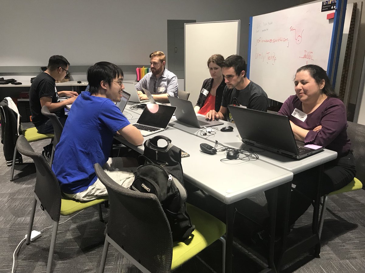 ## In Attendance:
*
## In Attendance:
* 





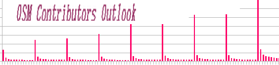 Talking of the OSM Contributors, we often see the Big Numbers. In this Diary, my objective is to focus on the OSM Contributor profiles, to try to measure the impact of various groups on the OSM Edit Contributions.





 (source: ESA Copernicus Sentinel 2. 19 February 2017 and 7 September 2017.)


