Diary Entries in English

Recent diary entries

Posted by CjMalone on 25 November 2020 in English.

I’ve taken on the task of mapping allotments throughout Great Britain. I think there is a similarity between allotment users and OSM contributors, even if it’s not immediately obvious. Allotments are quite often community owned or some form of cooperative, but even the commercially owned ones have roots back to the Diggers when private land was reclaimed for public good and food production.

I’ve been thinking more about the overlap between Open Data, Free Software and the common land lately. I’m starting to think it’s all the same thing, a rebellion against private property and ownership. It’s about common good, and helping your neighbour. It’s about the future and your legacy. It’s about leaving the world slightly better than you found it.

I’ve created a MapRoulette Challange based on a subset of OS Open Greenspace. For some I can add little more than a rectangle with landuse=allotments, some I can see a few more details like paths and tracks. 1 2 3

Posted by François2 on 25 November 2020 in English.

For those who are not familiar with indoor=, I recommend consulting the introductory post. In short, it’s a map that displays the interior spaces of OpenStreetmap with a level selector.

A new version is available with improvements such as the heat map and a new styling.

Heat map

To rapidly visualize locations that are indoor mapped, indoor= can now display a low zoom heat map.

A heat map to locate indoor mapped locations in OpenStreetMap

It will therefore be much easier to locate indoor mapped locations. Here are a few places that I discovered:

This work was carried out by Adrien Pavie.

New styling

In order to clearly distinguish the different interior spaces, the styling has been largely revised.

See full entry

Posted by apm-wa on 22 November 2020 in English.

Yesterday I had the pleasure of participating in the Local Chapters and Communities Congress, where we celebrated and Joost Schouppe ceremoniously countersigned new local chapter agreements. At the beginning of 2020, the OSMF had 8 local chapters, all in Europe. Today we have 14 local chapters, on five continents: Europe, South America, North America, Asia, and as of the last OSMF Board meeting, Africa. Joost as Board secretary has done the lion’s share of the work in processing six applications so far this year and deserves kudos for his efforts.

Among other things we discussed what the role of local chapters should be in OSM governance. Nothing has been set in stone, and indeed the conversation in a breakout session on the topic was free-flowing. Rob Nickerson of OSM UK suggested that the local chapters might be asked to help decide on admission of new corporate members, and also to help the Board prioritize paid work (e.g., to help decide when volunteer contributions of labor are not keeping up and OSM needs to pay somebody to fix broken software). I think these are ideas worth considering.

The conversation yielded a suggestion that the OSMF Board assist local chapters and communities with fundraising and perhaps help coordinate fundraising.

I have my own thoughts on this–I don’t think the Board itself should be a source of funds for local chapters and communities, because that could lead to dependency relationships that would undermine the decentralized nature of the OSM community, one of its strengths. That said, there is perhaps a role for the Board in cooperating with the LCCWG to assist local chapters in raising their own funds and to ensure that we don’t interfere with each other in the process.

Screenshot of switch2osm page

I’ve added a new page to the switch2osm guide: “Updating your database as people edit OpenStreetMap”.

It’s a bit overdue (it’s based on something I wrote about 4 years ago, and the software it uses predates that by a long way), but I think it is worth making available on the main site.

I’ve tested it both on Debian 11 and on Ubuntu 20.04 LTS, and have tried to make clear what you need to do differently in each case.

For completeness see also Ircama’s excellent guide which is well worth reading as it actually provides a lot more detail about the process, and also suggests how “osmium” may be used instead of “osmosis” to process OSM files.

Location: 14.361, 120.935
Posted by InfosReseaux on 22 November 2020 in English.

Pumps cartography is useful in many ways in OSM and currently practiced around water wells. It’s possible to use the pump=* key to state for a pump availability on a given well only. The key actually refers to the pump drivers, a motor or a lever to manually move the pump.
It’s an important information as to know if you’ll be able to get water with or without physical effort.
For instance, it’s not yet possible to make a significant distinction between pumps running on electricity or gasoline engines among other possibilities.

Pumps are obvious but complex devices. Wikipedia already provides a comprehensive classification with up to 15 different kinds.

Each design have different capabilities and can be driven by numerous different drivers. OSM could get benefits from encouraging mappers to complete such detailed information with appropriate tags if they are knowledgeable to do so.
It’s clear that such information will help crisis management or emergency rescue teams to restore water supply if and only if they have appropriate generators or engines. Coming around a gasoline powered pump with a solar panel won’t help.
People themselves could be interested in case they have to bring their own material to get water.

See full entry

A group of HOT voting members, from across four continents) met on Tuesday evening as part of the HOT board’s strategy committee to discuss perspectives on community definitions and what we mean when we talk about community sustainability. These conversations are really pertinent at the moment as HOT begins to develop and implement the Audacious project, which provides a real opportunity to support local communities to power up as well as generate high quality OSM data in 94 countries.

The first question: What is HOT?

It was acknowledged that HOT is many different things to different people. It was thought to both be a network or community (including volunteers and contributors, staff, humanitarian data users) and a node in other networks (where it was felt that HOT sometimes plays an important facilitation role). It was also suggested to be a (niche) social network, used for finding and developing information, knowledge, tools and relationships.

It was also perceived as a sub-community of the OpenStreetMap and as an NGO.

Whilst there were many positive attributes associated with HOT (diverse, collaborative, oriented to social good), it was also felt that HOT was sometimes a label applied too easily to contributors and communities in its networks, without thought for how they might define themselves. For example, the use of the phrase ‘HOT community’ to encompass any group doing humanitarian work involving OSM (or ‘HOT edits’ for any OSM contributions through the Tasking Manager) can be perceived as HOT staking an undeserved claim over the work of others and not indicative of a collaborative node in a network.

See full entry

Posted by sabre23ts on 19 November 2020 in English.

This afternoon I did front & left camera Mapillary capture around the block in Bandar Bukit TInggi near Healthlane Pharmacy. Unfortunately the usual afternoon rain intervened just after I started capturing. Don’t know whether the images are useable, but I’m uploading it first.

Location: Bandar Bukit Tinggi 1, Bandar Bukit Tinggi, Klang City, Klang, Selangor, 41200, Malaysia
Posted by jonycoo on 18 November 2020 in English.

I had trouble using the existing libraries with OAuth. I first started Implementing the methods I directly needed. The size increased and I thought I would be easier to make that a separate Project. Now I’m done Implementing all of the OSM API 0.6 the you find the project at Github or on PyPi I would love to hear some Feedback from you, either here via PM or on github open an Issue.

Posted by Richard on 18 November 2020 in English. Last updated on 31 December 2020.

You can now download a development version of Potlatch 3.0 to run on your desktop.

At https://www.systemed.net/potlatch/download/ , you can download a Mac native app, or an AIR file for use on Windows or (possibly) Linux.

Potlatch 3.0 includes desktop-editing features such as Remote Control support, overview zoom levels, and an OAuth login flow for saving. Rendering is faster and there’s now Overpass API support in the tasks palette.

Installation on Linux is likely to be complex and I’d welcome reports from anyone who has successfully achieved it.

There’s much more to come in future weeks so watch this space. You can report issues at http://github.com/systemed/potlatch2/issues pending the creation of a dedicated 3.0 repository.

Location: Potlatch, Latah County, Idaho, 83855, United States
Posted by LCCWG on 16 November 2020 in English.

Every year during State of the Map, starting in 2016, there has been a Local Chapters Congress session where representatives and members of Local Chapters that have been recognised by the Foundation and other local mapping communities meet together to talk about experiences and challenges in starting, building up, and growing enthusiastic local communities of OSM mappers.

Due to the pandemic, we unfortunately could not hold the Local Chapters Congress this year during the virtual State of the Map 2020 last July. However, the Local Chapters and Communities Working Group, or LCCWG, has decided to push through with a separate virtual event at the end of this year’s OSM Geography Awareness Week! (Trivia: the LCCWG was in fact formed as a result of the Local Chapters Congress 2019.)

See full entry

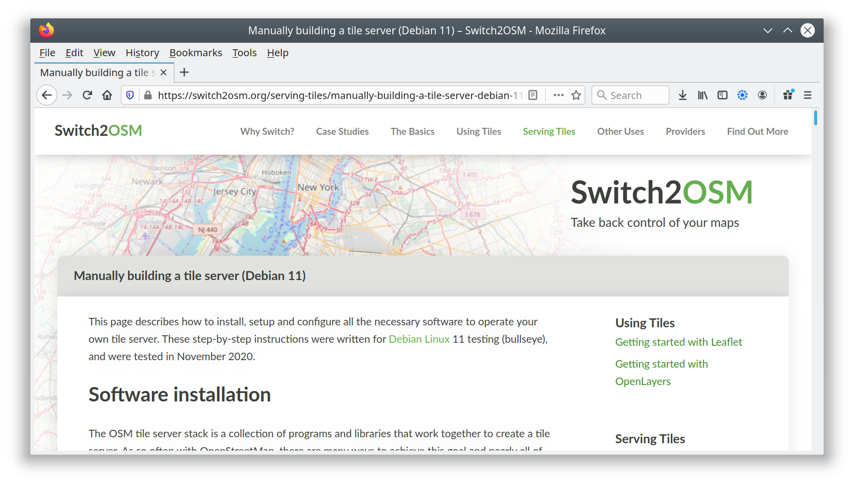
Screenshot of switch2osm page

I’ve added a new page to the switch2osm guide: “Manually building a tile server (Debian 11)”. The Debian developers have worked to include the required software inside Debian 11, so there’s actually less setup work needed than in previous versions.

Debian 11 has not yet been released; it’s still “testing”, so there may be minor changes along the path to release. Also, there’s currently a temporary problem with the Natural Earth download site that requires a workaround, but that’s documented in the guide. When that is resolved I’ll update the notes.

I’ve not yet linked the new page into the menus because I want to give people a chance to test it and identify any problems first. Once that’s happened, I’ll add it to the “Serving Tiles” menu.

Location: Kolonia Łabędnik Mały, Dębiany, gmina Bartoszyce, Bartoszyce County, Warmian-Masurian Voivodeship, 11-200, Poland
Posted by TheFive on 14 November 2020 in English. Last updated on 16 November 2020.

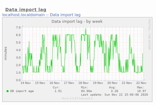
Fossgis is sponsoring the CMS and Mattermost Server for the weeklyOSM Editorial team for several years now. Last week they sponsored a server update (a 4GB server).

As OSMBC is keeping history similar to OSM, the number of managed article has increased to nearly 24k articles. Currently 70 users are listed as editors and nearly 700 are guest users. With the update Fossgis supports the weeklyOSM team in their work.

But my main thanks goes to the weeklyOSM team, which now serves the their news in 14 languages.

Christoph

Posted by martyvis on 13 November 2020 in English.

My previous smartwatch, a Fitbit Ionic died after swimming. While I have used it to log walks it really wasn’t suitable for navigation.

I replaced it with a Garmin Instinct. It is very oriented (see what I did there) for navigation on top of the regular fitness and as a wearable device to interact with a smartphone. It turns out that Garmin makes extensive use now of Open Streetmap for planning routes (or courses as they refer to it for the watch) and waypoints (or saved locations). It incented me to help fill in some gaps in my local area after doing a bushwalking and re-exploring areas after the terrible 2019 bushfires.