Diary Entries in English

Recent diary entries

Experiment on Disputed and Claimed OSM boundaries

I made an attempted to display boundaries according to some countries official point of view. Most of boundary are consensual. But some are de facto with no recognition from one or two of the neighbors. This facto are the ground mapped in OSM. But some countries have different political claims over the territories. Display this claim is often mandatory in these countries. So some boundaries or territories are disputed by countries. Disputed here meaning, that the country is not officially recognized the de facto ground status. Some other boundaries or territories are claimed. The idea here is partially based on the rejected proposed features “Mapping disputed boundaries”.

Consensual borders does not require more details.

Disputed boundaries are here treated as way level. As only a part of the de facto boundary is rejected.

Claim over territories are treated on boundary=claim relation as extent of the facto boundary relation. boundary=claim relation are not closed relation. De facto boundaries relation, minus disputed way, plus boundary=claim should done a closed relation.

In this experiment I do no try to rebuild this closed polygon. I based on osmborder to derive a modified version. Originally, the tool de-duplicate the border from the relations to ease the render.

So in the output of the tool, a way of boundary is marked as: * neutral, if is part of the standard de facto ground boundary framework, the standard OSM meaning of boundaries. * disputed, if has disputed=yes, dispute=yes, border_status=dispute, disputed_by or boundary=disputed tag, plus if is part of a boundary=claim relation. Typically can be rendered with dash. Note, a neutral de facto can be disputed. * disputed_by, list of countries code rejecting this way as a boundary. * claimed_by, list of countries code claiming this this way as boundary.

See full entry

Posted by marczoutendijk on 15 August 2019 in English. Last updated on 31 October 2019.

Why are mappers using landuse=village_green in the wrong way?

More than once in the past few years have I started and participated in various topics on the tagginglist (as well as on the local Dutch forum) where the precise use of the landuse=village_green was discussed.
A Village Green is a situation that is described in the wiki, and I quote:

“… is a distinctive part of a village centre. It’s an area of common land, usually grass but often including flowers, shrubs, small trees and a pond, located in the centre of a village (quintessentially English - defined separately from ‘common land’ under the Commons Registration Act 1965 and the Commons Act 2006).”

The proposal (in 2006) and the final voting (two in favor and none against!) never reached a wide audience (which back in 2006 of course was much smaller than nowadays) so nobody outside the UK really knew or understood its meaning and specific use.

The following text is partly copied from my posting on the tagging list:

Because I found out that the tag is greatly misused, I did an extended research to get more details about its current use.
My research is based on the OSM dataset of 14 july 2019.

The total number of tags for landuse=village_green is: 91645
I then took a selection of 22 countries (see table at end) and compared the uses per country to its use in the UK, because that country seems to be the main reason for the existence of this tag.
In those 22 countries the tag is used 55721 times and there are 5569 unique mappers responsible for using it.
I was surprised to see that in the country where I live, the Netherlands, the tag was used 260% more than in the UK!
Given the original definition you could expect that in the Netherlands (based on the number of cities/towns/villages and assuming that each of those indeed had a Village Green - which isn’t true) there could be at most 2440 Village Greens, not the 5131 we have now. Where, then, are the 2691 others located??

See full entry

Posted by nvk on 14 August 2019 in English.

Back in March I posted a diary entry proposing to add basic support for disputed borders point-of-view (aka worldview) to OpenStreetMap. I was able to complete that work, primarily in March, April, May, and June of this year, by adding disputed=yes, disputed_by=*, claimed_by=*, and recognized_by=* tags. More work remains (see below), please contribute!

The open source Tilezen project was updated in June in v1.8 (changelog) to add support for the OpenStreetMap tags (view source). The Nextzen vector tile build now includes that data with circa 2019-July OSM planet file. Props to @Matt for the extensive work this entailed.

I released a new version of the Bubble Wrap map style for Tangram, using the Nextzen source to visualize these changes (PR #277). There’s now a “POV” point-of-view menu in the upper-right corner that will toggle the different visual treatments.

Examples in Kashmir and Taiwan

See full entry

https://www.youthmappers.org/single-post/2018/01/23/My-Passion-for-GIS-and-LionMapperTeam-Enugu-Campus

Published on 28th January 2018

It is a privilege to be a member of lion MappersTeam-Enugu Campus because it is a platform where I can contribute to a global mapping initiative and humanitarian service that helps respond to resilient communities. It also gives me the opportunity D show my skills and talent, already acquired before gaining admission to study Geoinformatics and Surveying at the University of Nigeria, Enugu Campus. I had a life which introduced me to GIS early and I was able to produce a map at my previous school (AIFPU) showing all the natural and artificial features.

have always had a self-driven passion for GIS which is engraved in my heart

I was so excited when our Team Leader and Mentor, Victor N. Sunday, introduced Youth Mappers to us in a recent training at the University of Nigeria -Enugu Campus. I am so happy because this team gives me a training platform as well as the opportunity to map and place my community on global web map of OpenStreetMap. I would gladly volunteer my service though my chapter to contribute to this critical global geospatial database to solve the world’s special needs. I would also ensure that my friends and fellow students join this team to map our University of Nigeria, Enugu campus on the worldwide web of OSM because if a building or road is not found on a map, It does not exist

Most of us spend time and data on social media, now its time to pay more attention to mapping by contributing to the growth of this platform, because our work on this platform for 1 hour can save a generation

I want to be a GIS expert, to help people quench their curiosities and better understand the world around them. I believe GIS is a tool for solving problems. This is something I want to do for the rest of my life any given time

I want to provide a safe world using GIS where one can access any location at

See full entry

Posted by apm-wa on 12 August 2019 in English.

I have been asked to be the banquet speaker at the NACIS 2019 conference in Tacoma, Washington, on October 18th. The topic will be “Open Source Mapping in a Closed Society”, i.e., the cartographic work in Turkmenistan between 2015 and 2019. It is an honor to be asked to speak at the banquet, but I feel compelled to ask fellow mappers who followed my work in Turkmenistan: what points do YOU think I should be sure to cover in my presentation?

Location: Downtown Tacoma, Tacoma, Pierce County, Washington, 98402, United States
Posted by Øukasz on 12 August 2019 in English.

So out of things I did not expect I’d ever do on OSM, here’s one of them.

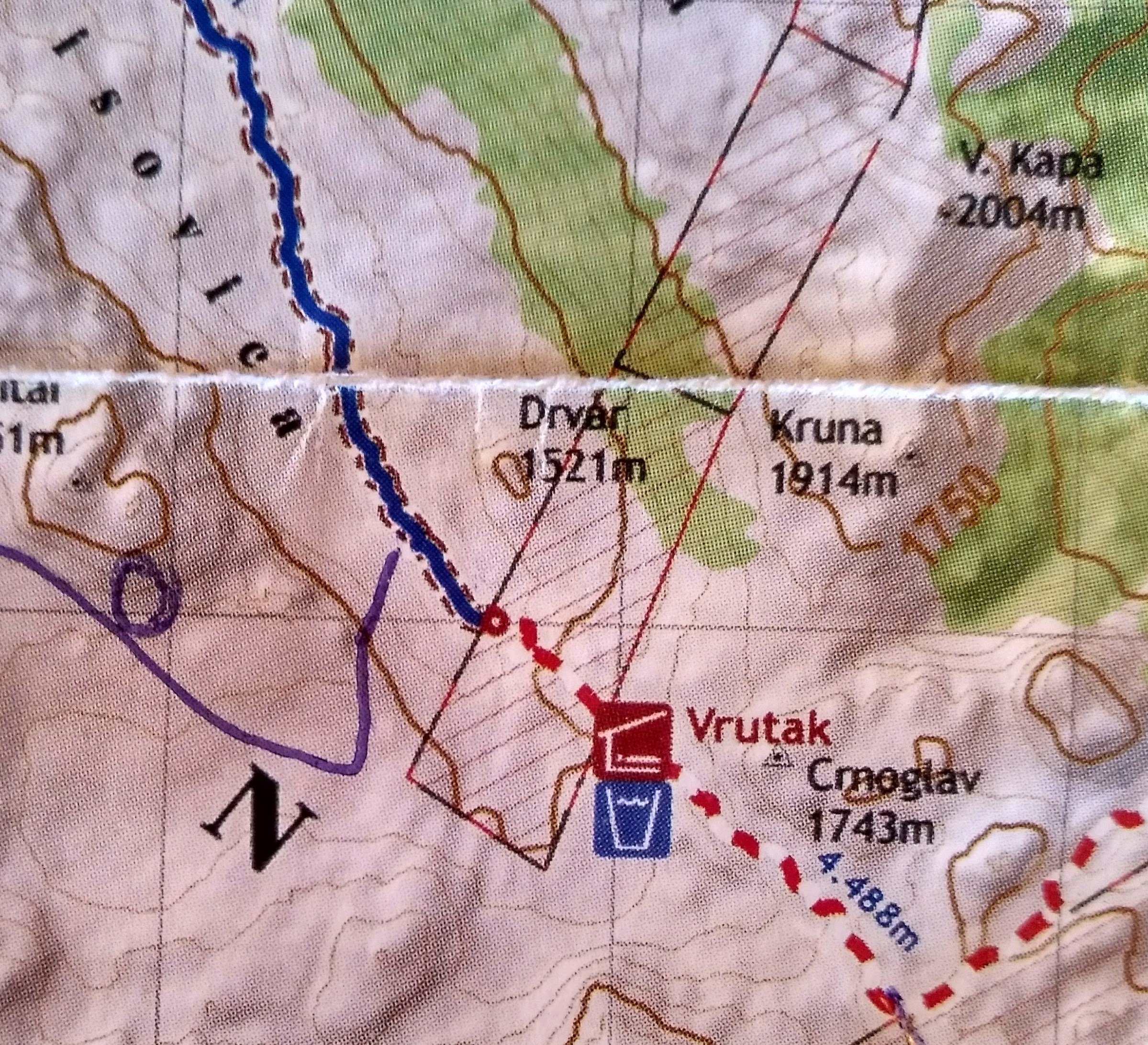
I’ve been using OsmAnd to cache OSM data to have with me as a reference while hiking in Bosnia a couple of weeks ago. I noticed that one of the trails in the app goes through what on a paper map I had with me was marked as a suspected minefield - a remnant of the 90s war. I checked with the local mountain rescue service, and indeed they confirmed that there is a danger area there.

So while I do not have enough data to map out the actual extent of the suspected minefields in these mountains, and I do not want to digitize it from the paper map I have, what I can do is to correct the path that the previous hiker took - and thankfully lived long enough to map - and snap it to my own GPS trace. I followed the hiking trail markers, which I was told was the proper thing to do in the area.

I prefer to not have OSM explicitly or implicitly suggest dangerous behaviour!

See full entry

Location: Town of Konjic, Herzegovina-Neretva Canton, Federation of Bosnia and Herzegovina, Bosnia and Herzegovina
Posted by Grillo on 10 August 2019 in English.

Long time since I made a diary post but today I feel like it.

Some time ago the Swedish post company did a reorganisation, where most postboxes got their collection times changed. I have been retagging some of these over time, but two days ago when I realized not all postboxes in my home town are mapped (found this one), and the next day I realized two postboxes in my area were tagged wrong (one hasn’t existed since I moved here many years ago and one has been moved changeset) I figured I’d do something about this.

Yesterday I compared the postboxes existing in OSM with the ones on Postnord’s website, and made a list

See full entry

Location: Stadskärnan, Centrum, Lund, Lund Municipality, Skåne County, Sweden
Posted by KingVik on 10 August 2019 in English. Last updated on 10 October 2022.

Me and my Team organised a Mapping Competition which held on 9th August 2019 at University of Nigeria Enugu Campus At A109 Geoinformatics and Surveying from 12: 37pm to 4; 15pm with the total number of 14 Mappers, . the mapping competition was to map;

https://tasks.hotosm.org/project/6358#bottom #6358 - Mapathon Battle for Vulnerable Oil Spill Disaster Communities in Niger Delta Region,Nigeria-Tai LGA

Ogoniland is a major oil spill disaster vulnerable area of Nigeria,being the host communities of crude oil exploitation in the Niger Region of Nigeria.Ogoniland land consist of four local government which includes Khana Local Governemnt Area of Rivers State. Following hazardous impact and damage of ogoniland by oil Spill disaster, UNEP assessed that the environmental restoration of Ogoniland would require coordinated efforts on the part of government agencies at all levels, industry operators and communities. UNEP also presented its recommendations as a major opportunity to bring new investment, employment opportunities and a culture of cooperation to Ogoniland in addition to driving improvements in the environmental and health situation on the ground.To effectively implement the UNEP recommendations for restoration of ogoniland,there is a need for a geographic data that provides critical building footprint in the area,especially,to identify and access the vulnerable oil spill communities. Maps produced would be used by government agencies and other stakeholders working to implement UNEP report on Ogoniland restorartion.

Created by: vicksun Changeset Comment #hotosm-project-6358 #osmnigeria #uniquemappersnetwork #VictorNSunday #NGDisasterRiskReduction #ogonilandoilspill

the competition was a successful one.

Chukwu Kingsley Chika

Team leam of LionMappersTeam Enugu Campus 10/08/2019

Location: 6.425, 7.505
Posted by KingVik on 10 August 2019 in English. Last updated on 10 October 2022.

I organised MAPATHON TRAINING WITH MY TEAM

The LionMappersTeam(LMT)Enugu Campus is an affiliate of YouthMappers Network, with the sole aim of providing members the opportunity to learn and improve their skills in the field of Geoinformatics and to create open geographic data and analysis that addresses locally defined challenges globally. It is a team of volunteers for Crowdsourced Mapping and Geographic Information provision using Openstreetmap, Citizen Science and other Geospatial Technology for research, training and response to resilient.

THE EVENT FEATURE THE FOLLOWING ACTIVITIES

  1. MAPPERS WANTED CAMPAIGN RALLY

  2. MAPATHON TRAINING

  3. MAPATHON FOR UNIVERSITY OF NIGERIA ENUGU CAMPUS AND ITS ENVIRONS

  4. FREE GIS SOFTWARE INSTALLATION

  5. MOBILE MAPPING APP INSTALLATION

  6. MAPPING COMPETITION

  7. OSMfight.

The training held on Friday 2nd August 2019 @ A109 Surveying Class By 10am _ 4:30 Pm

Training registration link : https://docs.google.com/forms/d/e/1FAIpQLSeOQ69-_qfokQ5kMb6kl8E1e8DckbQaz8Iiw3FzcIv2HqAPjA/viewform?usp=sf_link

We map, we train Mapper We solve problems. #####TOTAL OF 42 MEMBERS WERE PRESENT

Guest:Mr Victor N Sunday

Team Mentor- LoinMappersTeam Enugu Campus

Chukwu, Kingsley Chika

*KingVik Planet

Team leader of LionMappersTeam Enugu Campus

Location: Independence Layout, Enugu, Enugu North, Enugu State, 400261, Nigeria
Posted by jcoscia on 10 August 2019 in English. Last updated on 21 October 2025.

Note: phone number, my deadname, and e-mail address have been removed by me.

Hi [removed],

The City of Philadelphia provides the GBFS information for this very purpose–to see it integrated into various useful resources for the public. The City of Philadelphia has no objections to the use of geodata derived from publicly available sources such as the GBFS feeds provided and managed by Bicycle Transit Systems, the City’s contractor in the operation of Indego.

Aaron Ritz City of Philadelphia Office of Transportation, Infrastructure, and Sustainability p. [removed] e. [removed]

Posted by gunmac on 9 August 2019 in English.

On the eve of OpenStreetMap 15th anniversary on 9th August 2019, we organized a geo teaching session in Tagores Home Secondary School for children.

Children

We covered topics like Geography of India, Mountains, Solar system, Rivers and Neighbourhood drawing activity. Children were amazingly active and quick to understand whatever was taught. We also came to know from their teachers that these topics are part of their academics in the next quarter and glad that this session helped them as a mock program.

See full entry

Posted by GOwin on 9 August 2019 in English. Last updated on 12 August 2019.

Last Thursday, on the first day of August, the inaugural Pista ng Mapa conference officially welcomed participants to the wide and green spaces of Foundation University in Dumaguete, Philippines. It was two-and-a-half days of mappiness for the 166 participants who gathered to celebrate Open data (especially, geodata) and Free software with local mapping communities in the Visayas region.

It was awesome to see the enthusiastic number we’re able to gather, but it was more pleasing to note their diversity. We didn’t ask for our participants’ gender in our registration, but this group photo shows that no particular gender group eclipsed the other.

2019 Pista ng Mapa group photo. © 2019. Neyzielle Ronnicque Cadiz.

If you’ve ever been to a Filipino festival, then you may have some idea how it’s like: noisy, tummy-filling, plenty of good stuff to be had, and a great time to party with old and new friends.

See full entry

Location: Taclobo, Dumaguete, Negros Oriental, Negros Island Region, 6200, Philippines