OpenStreetMap
Strubbl's Comments
| Changeset | When | Comment |
|---|---|---|
| 147540297 | Kennst du ptna? https://ptna.openstreetmap.de/results/DE/MV/DE-MV-VVR-Analysis.html
|
|
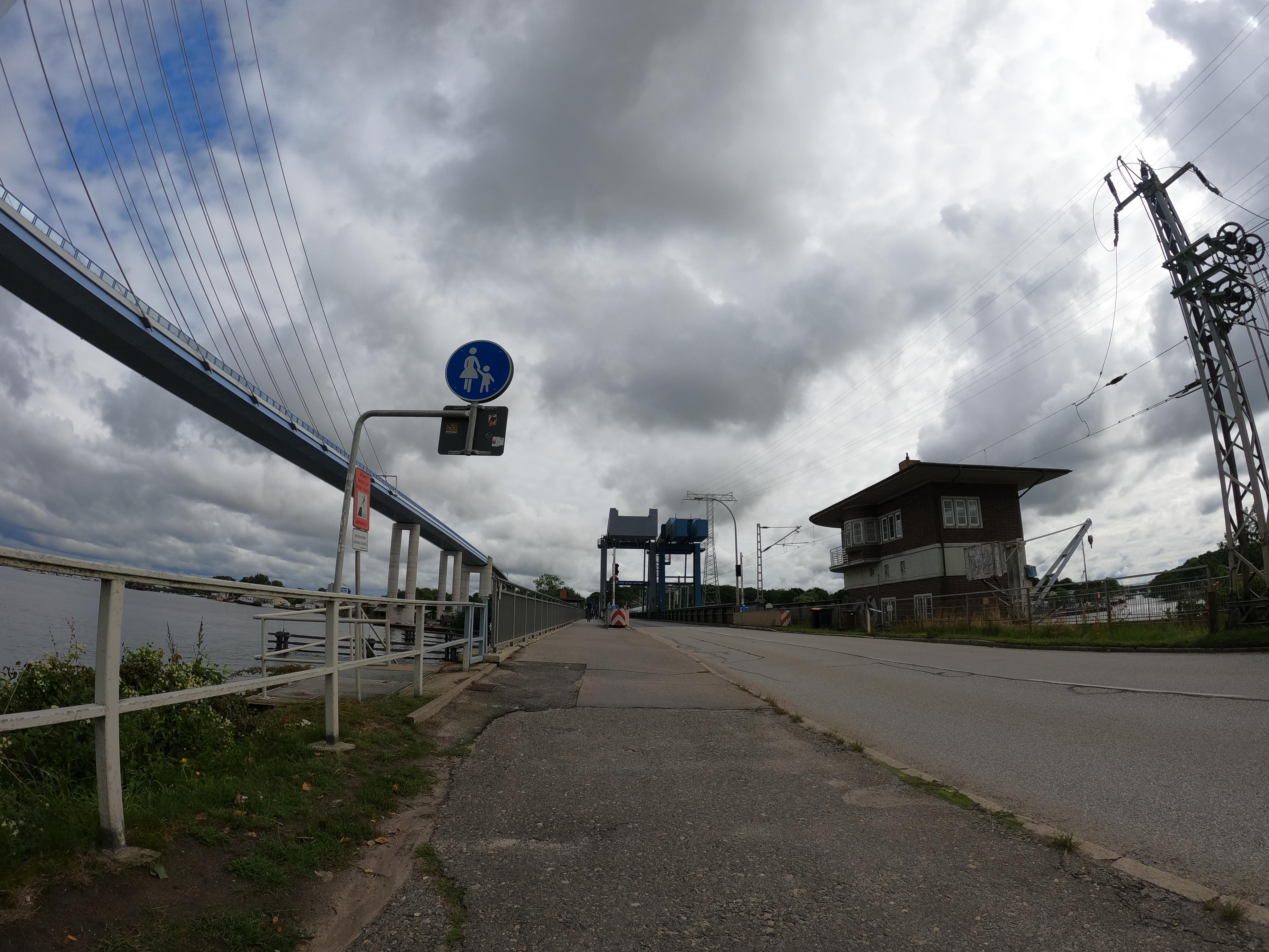
| 147497580 | Wegen dem note-Tag: https://storage13.openstreetcam.org/files/photo/2021/9/25/proc/3855969_3d260_614fb09e81a08.jpg Wenn sich das nicht kürzlich geändert hat, muss man offiziell immer noch absteigen für den Bereich des Rügendamms. |
|
| 147463679 | Die stop_position ist nicht auf dem Radweg, da fährt der Bus normal nicht: node/674972361 |
|
| 147462407 | Gibts die Verkehrsgesellschaft Vorpommern-Rügen nicht mehr? |
|
| 147584904 | Danke dir, hatte meinen Note schon wieder vergesssen. |
|
| 146865405 | Hi alexander2010, please stop using the mission https://pic4review.pavie.info/#/mission/2648/review. It is creating wrong tagging and the photos used as basis are outdated.
|
|
| 146832734 | I have started a discussion on the Bayern list: https://lists.openstreetmap.de/pipermail/bayern/2024-January/001993.html |
|
| 146779678 | I have started a discussion on the Bayern list: https://lists.openstreetmap.de/pipermail/bayern/2024-January/001993.html |
|
| 146779678 | Or way/369716793 and way/369716778. You nested a platform in a platform. Also the feature highway=bus_stop shall only be placed to node. See highway=bus_stop I would like to see your changeset reverted. |
|
| 146779678 | E.g. way way/372735871 You change this from shelter to platform. This is not true. In the aerial imagery one can see, that this object is the shelter and not the whole platform. |
|
| 146779678 | Hi Skinva, you are referring to mapillary pictures dating back to 2021 and older, where the objects have been edited already after the mapillary date. Are you sure your updates are always up to date? |
|
| 146832734 | the mapillary image you are linking clearly shows a bench and a bin. Also changing the feature from platform to bus_stop does not look ok. Are you sure?
|
|
| 146596235 | Vielen Dank, viele Grüße & viel Spaß beim Mappen |
|
| 146632099 | In diesem CS ist die addr:housenumber von way/330549258 verloren gegangen, die zuvor getaggt war |
|
| 146587401 | Streets.gl kann das anzeigen: https://streets.gl/#48.09478,11.60401,37.50,17.25,306.51 Keine Ahnung was osmbuildings macht: https://osmbuildings.org/?lat=48.09483&lon=11.60454&zoom=19.0&tilt=29&rotation=27 Noch weniger bei OSM2World: http://maps.osm2world.org/?h=128&view=N&zoom=18&lat=48.094610577784&lon=11.604665283731 Also passt scho 🤷 |
|
| 146587401 | Warum er die höheren Gebäudeteile nicht höher anzeigt in F4 weiß ich nicht: way/506208517
Die sind ja 4 Etagen und die anderen nur 3. Die anderen haben aber noch ein Höhe-Tag. Ob das daran liegt, so gut kenne ich mich auch nicht aus. |
|
| 146587401 | Klasse. Das sieht im Rendering auf der Karte auch schon korrekter aus mit den Freiflächen in der Mitte. Auch 3D sieht das gut aus: https://demo.f4map.com/#lat=48.0946459&lon=11.6044189&zoom=19&camera.theta=47.292&camera.phi=-44.728 |
|
| 146596235 | Hi L-Klitschi, warum ziehst du die Daten vom Node auf das Gebäude um ohne einen Mehrwert? Damit geht die gesamte Historie des Nodes verloren. Siehe: osm.wiki/DE:Good_practice#Erhalte_die_Chronik%E2%86%99 Viele Grüße |
|
| 146587401 | Hi ayxis, die Änderung schaut schon gut aus. Für die Multipolygon-Relationen der beiden Schulen, die ja den Gesamtumriss darstellen, sollte nicht building:part sondern nur der Key building genutzt werden, siehe auch: osm.wiki/Simple_3D_Buildings#How_to_map |
|
| 146139480 | Sorry, i do not understand your change. You change shelter and bin to no, but on the image you are referencing with mapillary https://www.mapillary.com/app/?pKey=1057666564865220&focus=photo one can clearly see bin and bench are there. Can you please explain your change? |