
FajrAl
- Mapper since:
- February 10, 2015
- Last map edit:
- July 25, 2026
Import account (currently not active) ● HDYC ● HOTOSM ● OSMCHA ● Your OSM Heatmap ● OSM wiki ● OSM community ● Openhistoricalmap
Hello! I’m Fajar Ali, an Urban and Regional Planning graduate from Indonesia with a strong interest in GIS, cartography, remote sensing, and open geospatial data.
I actively contribute to OpenStreetMap through field surveys, imagery interpretation, land cover mapping, data validation, and quality assurance. I am interested in land use and land cover mapping, particularly mapping the wetlands, and improving the completeness and accuracy of geographic data.
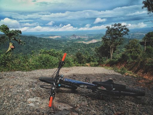
Outside of mapping, I also enjoy adventure cycling, which often leads me to discover and map previously unmapped roads, trails, and points of interest.
Major mapped area:
- Land use, land cover, and trail of Parung Panjang, Rumpin, and Cigudeg
- Traditional Sundanese conservation settlement of Kawasan Kanekes (Baduy)
- Pulau Sangiang land cover
- Rawa Danau land cover
- Maumere Bay Islands Nature Park land cover
- Setu detailed mapping
- The Mozia detailed mapping
- Benda Baru detailed mapping
- Pulau Sangeang land cover
- Wetlands in Batam: [1], [2],
- Wetlands in Papua: [1], [2],
- WIP Komodo National Park land cover
Diary
Latest Diaries
Diary Entry Customizing better-osm-org Changeset Colors using Stylus
If you use the amazing better-osm-org browser extension/userscript to review changesets, you are probably familiar with its default red, green, and...
Diary Entry Lombok Admin Boundary: Moving Eastward!
Alright, after successfully updating the boundaries in Bali, now, I’m shifting my focus further east across the Lombok Strait. Next stop: Lombok Is...
Diary Entry Indonesian OSM Note Spam
If you’ve been surveying the OpenStreetMap (OSM) map notes in Indonesia, you’ve likely encountered a wave of “spam” or irrelevant notes. These aren...
Diary Entry Lokalisasi name:id untuk Jepang, Korea Selatan, dan Korea Utara
Saya sedang memulai proyek untuk menambahkan tag name:id pada objek place=* di wilayah Jepang, Korea Selatan, dan Korea Utara. Tujuannya adalah mem...